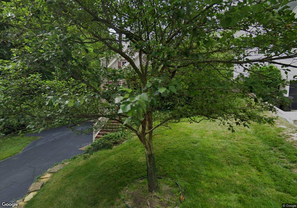
3507 Aultwoods Ln Cincinnati, OH 45208
Mount Lookout NeighborhoodEstimated Value: $633,000 - $859,000
2
Beds
2
Baths
2,100
Sq Ft
$357/Sq Ft
Est. Value
About This Home
This home is located at 3507 Aultwoods Ln, Cincinnati, OH 45208 and is currently estimated at $749,372, approximately $356 per square foot. 3507 Aultwoods Ln is a home located in Hamilton County with nearby schools including Kilgour Elementary School, Clark Montessori High School, and Shroder High School.
Ownership History
Date
Name
Owned For
Owner Type
Purchase Details
Closed on
Sep 9, 1996
Sold by
Burnstein David E and Burnstein Judy
Bought by
Fischer Timothy A
Current Estimated Value
Home Financials for this Owner
Home Financials are based on the most recent Mortgage that was taken out on this home.
Original Mortgage
$125,000
Outstanding Balance
$10,478
Interest Rate
7.93%
Estimated Equity
$738,894
Create a Home Valuation Report for This Property
The Home Valuation Report is an in-depth analysis detailing your home's value as well as a comparison with similar homes in the area
Home Values in the Area
Average Home Value in this Area
Purchase History
| Date | Buyer | Sale Price | Title Company |
|---|---|---|---|
| Fischer Timothy A | $191,500 | -- |
Source: Public Records
Mortgage History
| Date | Status | Borrower | Loan Amount |
|---|---|---|---|
| Open | Fischer Timothy A | $125,000 |
Source: Public Records
Tax History Compared to Growth
Tax History
| Year | Tax Paid | Tax Assessment Tax Assessment Total Assessment is a certain percentage of the fair market value that is determined by local assessors to be the total taxable value of land and additions on the property. | Land | Improvement |
|---|---|---|---|---|
| 2024 | $10,086 | $168,910 | $90,076 | $78,834 |
| 2023 | $10,314 | $168,910 | $90,076 | $78,834 |
| 2022 | $10,903 | $160,196 | $79,496 | $80,700 |
| 2021 | $10,494 | $160,196 | $79,496 | $80,700 |
| 2020 | $10,802 | $160,196 | $79,496 | $80,700 |
| 2019 | $10,093 | $136,921 | $67,946 | $68,975 |
| 2018 | $10,109 | $136,921 | $67,946 | $68,975 |
| 2017 | $9,603 | $136,921 | $67,946 | $68,975 |
| 2016 | $9,835 | $138,271 | $63,861 | $74,410 |
| 2015 | $8,866 | $138,271 | $63,861 | $74,410 |
| 2014 | $8,930 | $138,271 | $63,861 | $74,410 |
| 2013 | $8,186 | $124,569 | $57,533 | $67,036 |
Source: Public Records
Map
Nearby Homes
- 1332 Herschel Ave
- 1221 Herschel Woods Ln
- 1338 Suncrest Dr
- 25 Observatory Hill
- 3460 Custer Ave
- 4926 Le Blond Ave
- 3290 Observatory Ave
- 3458 Observatory Place
- 3525 Herschel View Place
- 3306 Lambert Place
- 5112 Shattuc Ave
- 3246 Observatory Ave
- 3567 Pape Ave
- 1141 Herschel Ave
- 3425 Pape Ave
- 1123 Salisbury Dr
- 3645 Russell Ave
- 1137 Delta Ave
- 1050 Richwood Ave
- 1225 Corbett St
- 3501 Aultwoods Ln
- 3465 Aultwoods Ln
- 3516 Brookwood Meadows
- 1320 Custer Ave
- 1296 Crestwood Ave
- 1288 Crestwood Ave
- 3518 Brookwood Meadows
- 1324 Custer Ave
- 3512 Brookwood Meadows
- 3520 Brookwood Meadows
- 1282 Crestwood Ave
- 3458 Aultwoods Ln
- 3512 Aultwoods Ln
- 1328 Custer Ave
- 1278 Crestwood Ave
- 1315 Dillon Ave
- 3456 Aultwoods Ln
- 1315 Custer Ave
- 1332 Cutter St
- 1332 Custer Ave
