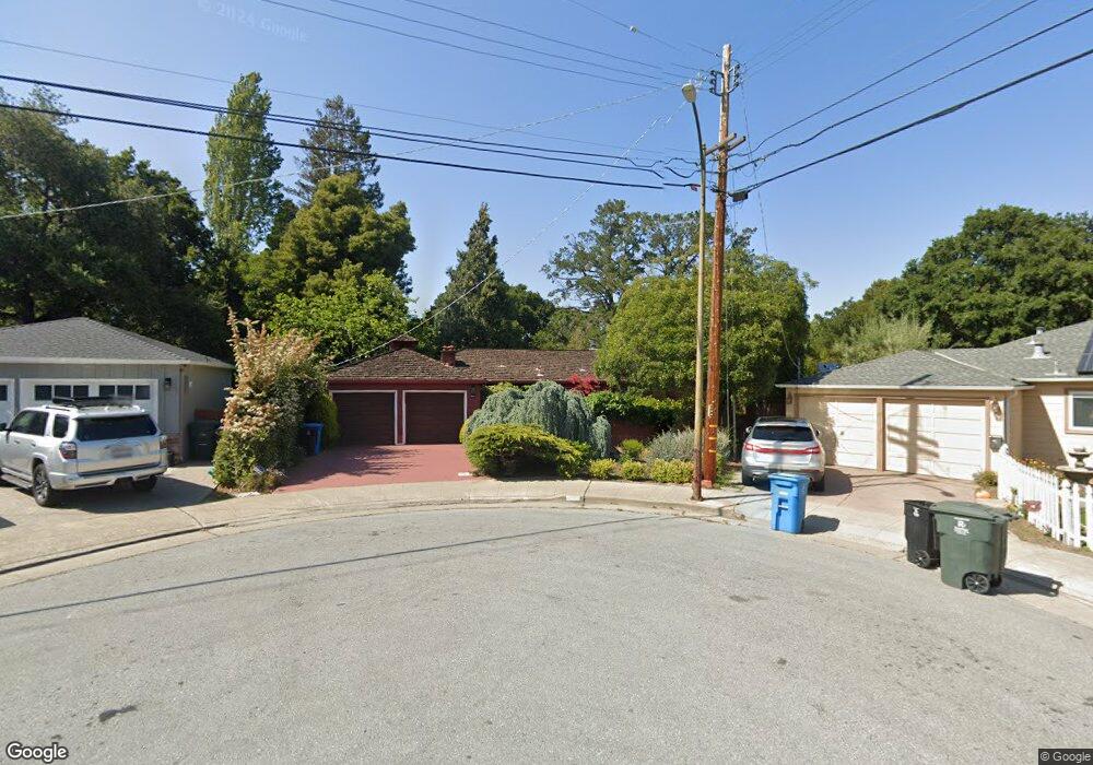
3507 Michael Dr San Mateo, CA 94403
Westwood Knolls NeighborhoodEstimated Value: $1,586,000 - $1,936,384
3
Beds
1
Bath
1,370
Sq Ft
$1,330/Sq Ft
Est. Value
About This Home
This home is located at 3507 Michael Dr, San Mateo, CA 94403 and is currently estimated at $1,821,596, approximately $1,329 per square foot. 3507 Michael Dr is a home located in San Mateo County with nearby schools including Laurel Elementary School, Abbott Middle School, and Hillsdale High School.
Ownership History
Date
Name
Owned For
Owner Type
Purchase Details
Closed on
Jul 10, 2014
Sold by
Bright Stephen A
Bought by
Bright Abigail L
Current Estimated Value
Home Financials for this Owner
Home Financials are based on the most recent Mortgage that was taken out on this home.
Original Mortgage
$250,000
Outstanding Balance
$190,425
Interest Rate
4.16%
Mortgage Type
New Conventional
Estimated Equity
$1,631,171
Create a Home Valuation Report for This Property
The Home Valuation Report is an in-depth analysis detailing your home's value as well as a comparison with similar homes in the area
Home Values in the Area
Average Home Value in this Area
Purchase History
| Date | Buyer | Sale Price | Title Company |
|---|---|---|---|
| Bright Abigail L | $249,500 | Cornerstone Title Company |
Source: Public Records
Mortgage History
| Date | Status | Borrower | Loan Amount |
|---|---|---|---|
| Open | Bright Abigail L | $250,000 |
Source: Public Records
Tax History
| Year | Tax Paid | Tax Assessment Tax Assessment Total Assessment is a certain percentage of the fair market value that is determined by local assessors to be the total taxable value of land and additions on the property. | Land | Improvement |
|---|---|---|---|---|
| 2025 | $3,138 | $126,181 | $39,245 | $86,936 |
| 2023 | $3,138 | $121,283 | $37,722 | $83,561 |
| 2022 | $2,719 | $118,906 | $36,983 | $81,923 |
| 2021 | $2,728 | $116,575 | $36,258 | $80,317 |
| 2020 | $2,514 | $115,381 | $35,887 | $79,494 |
| 2019 | $2,414 | $113,120 | $35,184 | $77,936 |
| 2018 | $2,710 | $110,903 | $34,495 | $76,408 |
| 2017 | $1,838 | $108,729 | $33,819 | $74,910 |
| 2016 | $1,718 | $106,598 | $33,156 | $73,442 |
| 2015 | $1,760 | $104,997 | $32,658 | $72,339 |
| 2014 | $1,946 | $102,941 | $32,019 | $70,922 |
Source: Public Records
Map
Nearby Homes
- 311 W Hillsdale Blvd Unit W
- 412 Stephen Rd
- 240 Briar Ln
- 341 Sylvan Ave
- 3740 Sky Ct
- 105 Louise Ln
- 291 W 39th Ave Unit W
- 347 Rolling Hills Ave
- 343 27th Ave
- 126 W 39th Ave
- 35 28th Ave Unit 307
- 723 Linda Ct
- 325 Landfair Ave
- 716 30th Ave
- 184 42nd Ave Unit W
- 3224 E Laurel Creek Rd
- 736 28th Ave
- 00 Alhambra Dr
- 65 Burbank Ave
- 2044 Monroe Ave
- 3511 Michael Dr
- 351 W Hillsdale Blvd Unit W
- 323 W Hillsdale Blvd
- 3502 Michael Dr
- 401 W Hillsdale Blvd Unit W
- 3515 Michael Dr
- 3519 Michael Dr
- 3518 Michael Dr
- 301 W Hillsdale Blvd
- 409 W Hillsdale Blvd
- 3512 Michael Dr
- 3504 Michael Dr
- 3523 Michael Dr
- 402 Stephen Rd
- 332 W Hillsdale Blvd
- 245 W Hillsdale Blvd Unit W
- 3508 Michael Dr
- 322 W Hillsdale Blvd Unit W
- 3524 Michael Dr
- 3527 Michael Dr
Your Personal Tour Guide
Ask me questions while you tour the home.