Estimated Value: $476,422 - $586,000
4
Beds
3
Baths
2,752
Sq Ft
$200/Sq Ft
Est. Value
About This Home
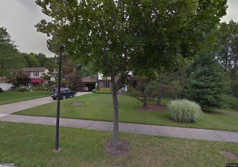
This home is located at 35075 Ada Dr, Solon, OH 44139 and is currently estimated at $550,856, approximately $200 per square foot. 35075 Ada Dr is a home located in Cuyahoga County with nearby schools including Orchard Middle School, Parkside Elementary School, and Solon Middle School.
Ownership History
Date
Name
Owned For
Owner Type
Purchase Details
Closed on
Dec 28, 2017
Sold by
Hutchison Judy H and Hutchison Geroge B
Bought by
Hutchinson Judy H and Hutchinson George B
Current Estimated Value
Purchase Details
Closed on
Jun 24, 2009
Sold by
Hutchinson George B and Hutchinson Judy H
Bought by
Hutchinson Judy H
Purchase Details
Closed on
Nov 3, 1994
Sold by
Poeske Dane
Bought by
Hutchinson George B and Hutchinson Judy H
Home Financials for this Owner
Home Financials are based on the most recent Mortgage that was taken out on this home.
Original Mortgage
$167,200
Interest Rate
8.75%
Mortgage Type
New Conventional
Purchase Details
Closed on
Jun 10, 1991
Sold by
Marr Kenneth J
Bought by
Poeske Dane A
Purchase Details
Closed on
Nov 17, 1986
Bought by
Marr Kenneth J
Purchase Details
Closed on
Jan 1, 1985
Bought by
Constan Dev Co
Create a Home Valuation Report for This Property
The Home Valuation Report is an in-depth analysis detailing your home's value as well as a comparison with similar homes in the area
Home Values in the Area
Average Home Value in this Area
Purchase History
| Date | Buyer | Sale Price | Title Company |
|---|---|---|---|
| Hutchinson Judy H | -- | None Available | |
| Hutchinson Judy H | -- | None Available | |
| Hutchinson George B | $209,000 | -- | |
| Poeske Dane A | $190,000 | -- | |
| Marr Kenneth J | $163,900 | -- | |
| Constan Dev Co | -- | -- |
Source: Public Records
Mortgage History
| Date | Status | Borrower | Loan Amount |
|---|---|---|---|
| Closed | Hutchinson George B | $167,200 |
Source: Public Records
Tax History
| Year | Tax Paid | Tax Assessment Tax Assessment Total Assessment is a certain percentage of the fair market value that is determined by local assessors to be the total taxable value of land and additions on the property. | Land | Improvement |
|---|---|---|---|---|
| 2025 | $8,315 | $151,935 | $30,485 | $121,450 |
| 2024 | $8,314 | $151,935 | $30,485 | $121,450 |
| 2023 | $8,119 | $121,350 | $26,950 | $94,400 |
| 2022 | $8,102 | $121,345 | $26,950 | $94,395 |
| 2021 | $8,010 | $121,350 | $26,950 | $94,400 |
| 2020 | $8,033 | $111,300 | $24,710 | $86,590 |
| 2019 | $7,780 | $318,000 | $70,600 | $247,400 |
| 2018 | $3,483 | $111,300 | $24,710 | $86,590 |
| 2017 | $5,947 | $89,850 | $21,390 | $68,460 |
| 2016 | $5,891 | $89,850 | $21,390 | $68,460 |
| 2015 | $5,656 | $89,850 | $21,390 | $68,460 |
| 2014 | $5,656 | $83,200 | $19,810 | $63,390 |
Source: Public Records
Map
Nearby Homes
- 35160 Spatterdock Ln
- 34603 Bramble Ln
- 7282 Thornapple Ln
- 34825 Aurora Rd
- 34390 Appleview Way
- 6678 Solon Blvd
- 6531 Arbordale Ave
- 36725 Pettibone Rd
- 6746 Edgemoor Ave
- 33014 N Roundhead Dr
- 36965 Wexford Dr
- 32623 Jefferson Dr Unit 23
- 32722 Washington Ct Unit 22
- V/L (1.32 Acres) Aurora Rd
- 7370 Stockwood Dr
- 38230 Flanders Dr
- 32801 Baldwin Rd
- V/L Arlington Blvd
- 32700 Pettibone Rd
- 7442 Worlington Dr
Your Personal Tour Guide
Ask me questions while you tour the home.