3509 Baker Rd Westminster, MD 21157
Estimated Value: $445,000 - $838,236
Studio
1
Bath
1,502
Sq Ft
$415/Sq Ft
Est. Value
About This Home
This home is located at 3509 Baker Rd, Westminster, MD 21157 and is currently estimated at $623,079, approximately $414 per square foot. 3509 Baker Rd is a home located in Carroll County with nearby schools including Winfield Elementary School, Mount Airy Middle School, and South Carroll High School.
Ownership History
Date
Name
Owned For
Owner Type
Purchase Details
Closed on
Dec 10, 2018
Sold by
Frizzell Kenneth Eugene and Frizzell Rosalee
Bought by
Frizzell Kenneth Eugne and Frizzell Rosalee
Current Estimated Value
Purchase Details
Closed on
Sep 23, 2015
Sold by
Frizzell Kenneth Eugene and Frizzell Rosalee F
Bought by
Frizzell Kenneth Eugene and Frizzell Rosalee
Purchase Details
Closed on
Mar 13, 2012
Sold by
Barber Bessie Viola
Bought by
Barber Bessie Viola and Frizzell Rosalee
Purchase Details
Closed on
Apr 17, 1997
Sold by
Barber Bessie Viola
Bought by
Barber Bessie Viola
Create a Home Valuation Report for This Property
The Home Valuation Report is an in-depth analysis detailing your home's value as well as a comparison with similar homes in the area
Purchase History
| Date | Buyer | Sale Price | Title Company |
|---|---|---|---|
| Frizzell Kenneth Eugne | -- | None Available | |
| Frizzell Kenneth Eugene | -- | Attorney | |
| Barber Bessie Viola | -- | None Available | |
| Barber Bessie Viola | -- | -- |
Source: Public Records
Tax History
| Year | Tax Paid | Tax Assessment Tax Assessment Total Assessment is a certain percentage of the fair market value that is determined by local assessors to be the total taxable value of land and additions on the property. | Land | Improvement |
|---|---|---|---|---|
| 2025 | $3,192 | $279,700 | $0 | $0 |
| 2024 | $3,029 | $265,100 | $192,900 | $72,200 |
| 2023 | $2,866 | $250,533 | $0 | $0 |
| 2022 | $2,702 | $235,967 | $0 | $0 |
| 2021 | $2,539 | $221,400 | $152,900 | $68,500 |
| 2020 | $2,510 | $218,800 | $0 | $0 |
| 2019 | $2,503 | $216,200 | $0 | $0 |
| 2018 | $2,452 | $213,600 | $152,900 | $60,700 |
| 2017 | $2,452 | $213,600 | $0 | $0 |
| 2016 | -- | $213,600 | $0 | $0 |
| 2015 | -- | $219,700 | $0 | $0 |
| 2014 | -- | $219,700 | $0 | $0 |
Source: Public Records
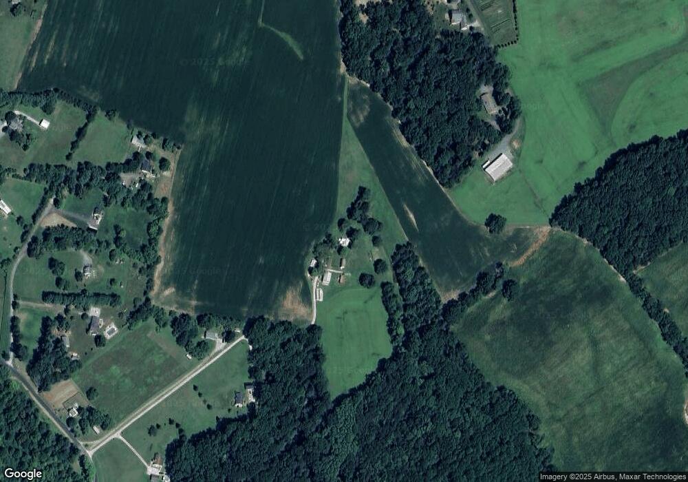
Map
Nearby Homes
- Lot 15 Westview Dr
- 2900 Marston Rd
- PARCEL 198 Dennings Rd
- 4047 Ridge Rd
- 2315 Sandel Ln
- 0 Bear Branch Rd
- 970 Oak Tree Rd
- 2514 W Liberty Rd
- 2613 Liberty Rd
- 4328 Ridge Rd Unit 13
- 1802 Ridge Rd
- 1810 Stone Chapel Rd
- 2141 Herbert Ave
- 112 E Nicodemus Rd
- 2244 Old Washington Rd
- 15539 Liberty Rd
- 3816 A Jim Smith Ln
- 129 Warfieldsburg Rd
- 5422 Woodbine Rd
- 3501 Sams Creek Rd