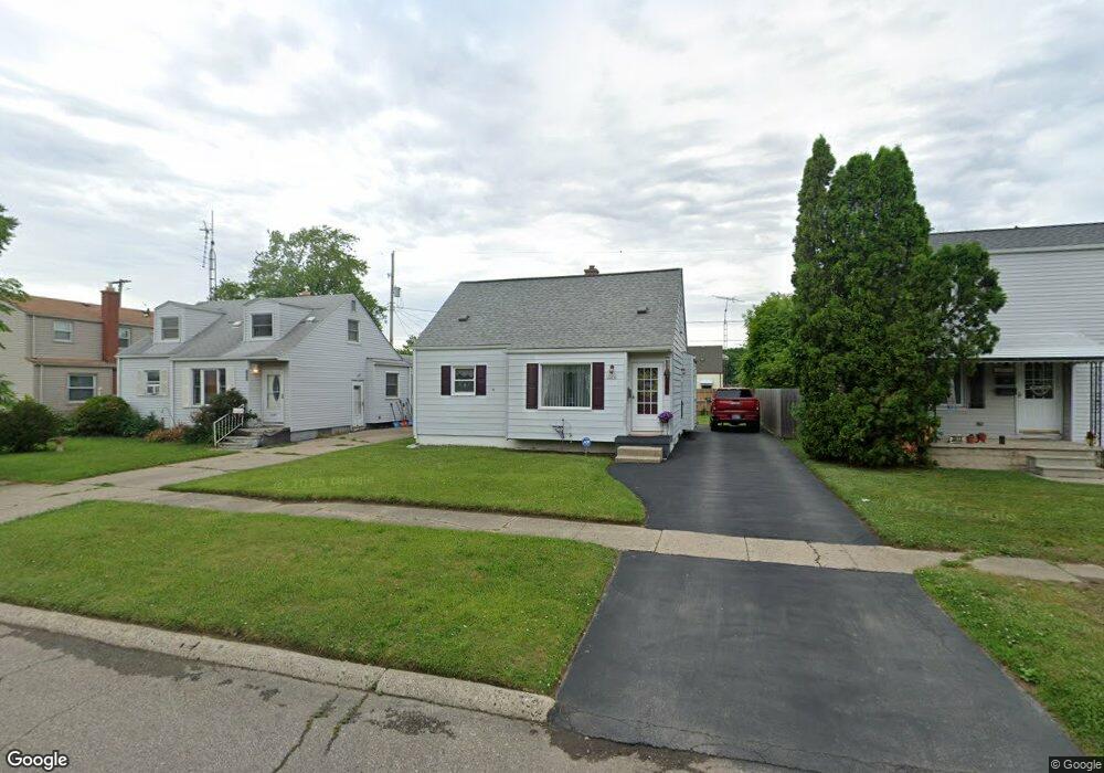
3509 Bennett Ave Flint, MI 48506
Potter Longway NeighborhoodEstimated Value: $76,000 - $96,000
3
Beds
1
Bath
896
Sq Ft
$99/Sq Ft
Est. Value
About This Home
This home is located at 3509 Bennett Ave, Flint, MI 48506 and is currently estimated at $89,148, approximately $99 per square foot. 3509 Bennett Ave is a home located in Genesee County with nearby schools including Potter School, Richfield Public School Academy, and Richfield Early Learning Center.
Ownership History
Date
Name
Owned For
Owner Type
Purchase Details
Closed on
Feb 4, 2010
Sold by
Lucas Linda R
Bought by
Portillo Adan
Current Estimated Value
Home Financials for this Owner
Home Financials are based on the most recent Mortgage that was taken out on this home.
Original Mortgage
$32,929
Outstanding Balance
$21,859
Interest Rate
5.09%
Mortgage Type
Seller Take Back
Estimated Equity
$67,289
Purchase Details
Closed on
Nov 1, 2001
Sold by
Citizens Commercial & Svgs Bank
Bought by
Hud
Purchase Details
Closed on
Jun 27, 2001
Sold by
Johnson Rebecca L
Bought by
Citizens Bank and Citizens Commercial & Svgs Bank
Create a Home Valuation Report for This Property
The Home Valuation Report is an in-depth analysis detailing your home's value as well as a comparison with similar homes in the area
Home Values in the Area
Average Home Value in this Area
Purchase History
| Date | Buyer | Sale Price | Title Company |
|---|---|---|---|
| Portillo Adan | $32,000 | First American Title Ins Co | |
| Hud | -- | -- | |
| Citizens Bank | $47,680 | -- |
Source: Public Records
Mortgage History
| Date | Status | Borrower | Loan Amount |
|---|---|---|---|
| Open | Portillo Adan | $32,929 |
Source: Public Records
Tax History
| Year | Tax Paid | Tax Assessment Tax Assessment Total Assessment is a certain percentage of the fair market value that is determined by local assessors to be the total taxable value of land and additions on the property. | Land | Improvement |
|---|---|---|---|---|
| 2025 | $1,004 | $38,900 | $0 | $0 |
| 2024 | $909 | $30,300 | $0 | $0 |
| 2023 | $893 | $23,600 | $0 | $0 |
| 2022 | $0 | $20,500 | $0 | $0 |
| 2021 | $928 | $16,200 | $0 | $0 |
| 2020 | $837 | $13,600 | $0 | $0 |
| 2019 | $815 | $14,600 | $0 | $0 |
| 2018 | $816 | $12,000 | $0 | $0 |
| 2017 | $793 | $0 | $0 | $0 |
| 2016 | $788 | $0 | $0 | $0 |
| 2015 | -- | $0 | $0 | $0 |
| 2014 | -- | $0 | $0 | $0 |
| 2012 | -- | $15,000 | $0 | $0 |
Source: Public Records
Map
Nearby Homes
- 3229 Holly Ave
- 3617 Davison Rd
- 3232 Dale Ave
- 3213 Holly Ave
- 3205 Holly Ave
- 3813 Holly Ave
- 3149 Whittier Ave
- 3739 Marmion Ave
- 3602 Dakota Ave
- 2002 Branch Rd
- 3214 Maryland Ave
- 2146 N Center Rd
- 3809 Delaware Ave
- 3421 Brewster St
- 3740 Ivanhoe Ave
- 3806 Pitkin Ave
- 2274 N Center Rd
- 2719 Branch Rd
- 3018 Dakota Ave
- 3734 Craig Dr
- 3513 Bennett Ave
- 3505 Bennett Ave
- 3517 Bennett Ave
- 2302 Starkweather St
- 3510 Whittier Ave
- 3514 Whittier Ave
- 3506 Whittier Ave
- 3521 Bennett Ave
- 3518 Whittier Ave
- 2310 Starkweather St
- 3510 Bennett Ave
- 3514 Bennett Ave
- 3506 Bennett Ave
- 3522 Whittier Ave
- 3525 Bennett Ave
- 2210 Starkweather St
- 3518 Bennett Ave
- 2301 Starkweather St
- 3526 Whittier Ave
- 3522 Bennett Ave