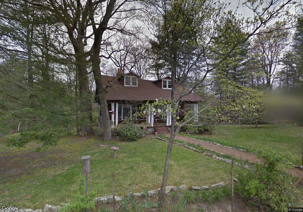
3509 E Brow Rd Signal Mountain, TN 37377
Walden NeighborhoodEstimated Value: $426,000 - $918,000
--
Bed
--
Bath
2,131
Sq Ft
$323/Sq Ft
Est. Value
About This Home
This home is located at 3509 E Brow Rd, Signal Mountain, TN 37377 and is currently estimated at $688,734, approximately $323 per square foot. 3509 E Brow Rd is a home located in Hamilton County with nearby schools including Nolan Elementary School, Signal Mountain Middle/High School, and Signal Mountain Christian School.
Ownership History
Date
Name
Owned For
Owner Type
Purchase Details
Closed on
May 20, 2019
Sold by
Stone Harry A
Bought by
Stone Gertrude and Stone Douglas M Stone
Current Estimated Value
Purchase Details
Closed on
May 17, 2019
Sold by
Stone Douglas M
Bought by
Stone Gertrude and Stone Harry A
Purchase Details
Closed on
Jun 22, 2005
Sold by
Collins Frances O
Bought by
Collins Frances O and The Frances O Collins Living Trust
Purchase Details
Closed on
Jun 12, 1995
Sold by
Stone Catherine O
Bought by
Stone Catherine O
Create a Home Valuation Report for This Property
The Home Valuation Report is an in-depth analysis detailing your home's value as well as a comparison with similar homes in the area
Home Values in the Area
Average Home Value in this Area
Purchase History
| Date | Buyer | Sale Price | Title Company |
|---|---|---|---|
| Stone Gertrude | $44,444 | None Available | |
| Stone Gertrude | -- | None Available | |
| Collins Frances O | -- | -- | |
| Stone Catherine O | -- | -- |
Source: Public Records
Tax History Compared to Growth
Tax History
| Year | Tax Paid | Tax Assessment Tax Assessment Total Assessment is a certain percentage of the fair market value that is determined by local assessors to be the total taxable value of land and additions on the property. | Land | Improvement |
|---|---|---|---|---|
| 2024 | $2,577 | $115,175 | $0 | $0 |
| 2023 | $3,189 | $115,175 | $0 | $0 |
| 2022 | $3,189 | $115,175 | $0 | $0 |
| 2021 | $3,189 | $115,175 | $0 | $0 |
| 2020 | $4,270 | $126,700 | $0 | $0 |
| 2019 | $4,144 | $126,700 | $0 | $0 |
| 2018 | $4,017 | $126,700 | $0 | $0 |
| 2017 | $3,992 | $126,700 | $0 | $0 |
| 2016 | $3,359 | $0 | $0 | $0 |
| 2015 | $3,359 | $105,150 | $0 | $0 |
| 2014 | $3,359 | $0 | $0 | $0 |
Source: Public Records
Map
Nearby Homes
- 3680 Wilson Ave
- 3002 Wilson Ave
- 914 Olsen Ave
- 2804 Taft Hwy
- 5517 Abby Grace Loop
- 810 Younger Cir
- 0 Browntown Rd Unit 1519397
- 60166014 Browntown Rd
- 5423 Mccahill Rd
- 311 Shady Crest Dr
- 3612 Taft Hwy
- 217 Lynnolen Ln
- 4975 Browntown Rd
- 6015 Sawyer Rd
- 792 Sawmill Trail
- 848 Skyline Park Dr
- 14 Lynnolen Ln
- 1702 James Blvd
- 2598 Bristlecone Ln
- 0 Skyline Park Dr Unit 1525124
- 3503 E Brow Rd
- 3511 E Brow Rd
- 3467 E Brow Rd
- 3609 E Brow Rd
- 4006 Ivory Ave
- 3920 Ivory Ave
- 4008 Ivory Ave
- 3908 Ivory Ave
- 3403 E Brow Rd
- 4012 Ivory Ave
- 211 Lake Ave
- 4402 Chestnut Ln
- 0 Chestnut Ave Unit 1209003
- 0 Chestnut Ave
- 3906 Ivory Ave
- 215 Lake Ave
- 4016 Ivory Ave
- 3915 Ivory Ave
- 219 Lake Ave
- 4406 Chestnut Ln