351 2nd St S Montrose, MN 55363
Estimated Value: $260,000 - $333,000
2
Beds
1
Bath
1,564
Sq Ft
$180/Sq Ft
Est. Value
About This Home
This home is located at 351 2nd St S, Montrose, MN 55363 and is currently estimated at $281,889, approximately $180 per square foot. 351 2nd St S is a home located in Wright County with nearby schools including Montrose Elementary School, Buffalo Community Middle School, and Buffalo Senior High School.
Ownership History
Date
Name
Owned For
Owner Type
Purchase Details
Closed on
May 17, 2017
Sold by
Ross Shannon M
Bought by
Ross Amy M
Current Estimated Value
Purchase Details
Closed on
Jun 13, 2011
Sold by
Larson Allan Jay
Bought by
Ross Shannon M and Ross Amy M
Purchase Details
Closed on
Nov 29, 2005
Sold by
Burger Eddie S and Burger Angela L
Bought by
Larson Allan and Larson Iris
Purchase Details
Closed on
Jun 10, 2005
Sold by
Burger Eddie S and Burger Angela L
Bought by
Larson Allan and Larson Iris
Purchase Details
Closed on
Aug 21, 1998
Sold by
Rozeske James F and Rozeske Lori
Bought by
Burger Angela and Burger Eddie
Create a Home Valuation Report for This Property
The Home Valuation Report is an in-depth analysis detailing your home's value as well as a comparison with similar homes in the area
Home Values in the Area
Average Home Value in this Area
Purchase History
| Date | Buyer | Sale Price | Title Company |
|---|---|---|---|
| Ross Amy M | -- | None Available | |
| Ross Shannon M | $86,500 | -- | |
| Larson Allan | $164,000 | -- | |
| Larson Allan | $164,000 | -- | |
| Burger Angela | $104,000 | -- |
Source: Public Records
Tax History Compared to Growth
Tax History
| Year | Tax Paid | Tax Assessment Tax Assessment Total Assessment is a certain percentage of the fair market value that is determined by local assessors to be the total taxable value of land and additions on the property. | Land | Improvement |
|---|---|---|---|---|
| 2025 | $2,424 | $230,200 | $62,500 | $167,700 |
| 2024 | $2,684 | $209,500 | $46,600 | $162,900 |
| 2023 | $2,836 | $245,000 | $61,600 | $183,400 |
| 2022 | $2,468 | $237,600 | $66,400 | $171,200 |
| 2021 | $2,374 | $181,000 | $41,200 | $139,800 |
| 2020 | $2,352 | $171,000 | $39,000 | $132,000 |
| 2019 | $1,914 | $166,600 | $0 | $0 |
| 2018 | $1,698 | $120,000 | $0 | $0 |
| 2017 | $1,568 | $106,400 | $0 | $0 |
| 2016 | $1,508 | $0 | $0 | $0 |
| 2015 | $1,474 | $0 | $0 | $0 |
| 2014 | -- | $0 | $0 | $0 |
Source: Public Records
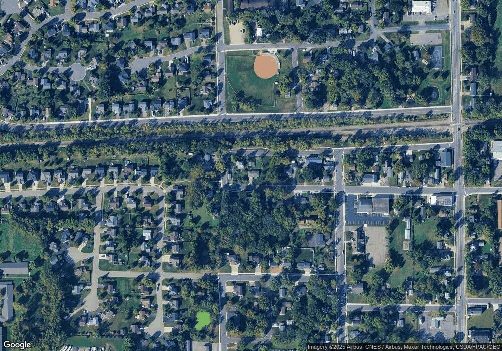
Map
Nearby Homes
- 301 Center Ave S
- 161 Mindy Ln Unit 9
- 517 2nd St S
- 149 Mindy Ln
- 305 Garfield Ave S
- 426 Dillon Ave N
- 137 Pheasant Ridge Dr
- 150 Pheasant Ridge Dr
- 140 Garner Cir
- 151 Garner Cir
- 1766 US Highway 12 SW
- 683 Aspen Ln
- 684 Aspen Ln
- 685 Aspen Ln
- 687 Aspen Ln
- 689 Aspen Ln
- 726 7th St N
- 690 Aspen Ln
- 691 Aspen Ln
- 692 Aspen Ln