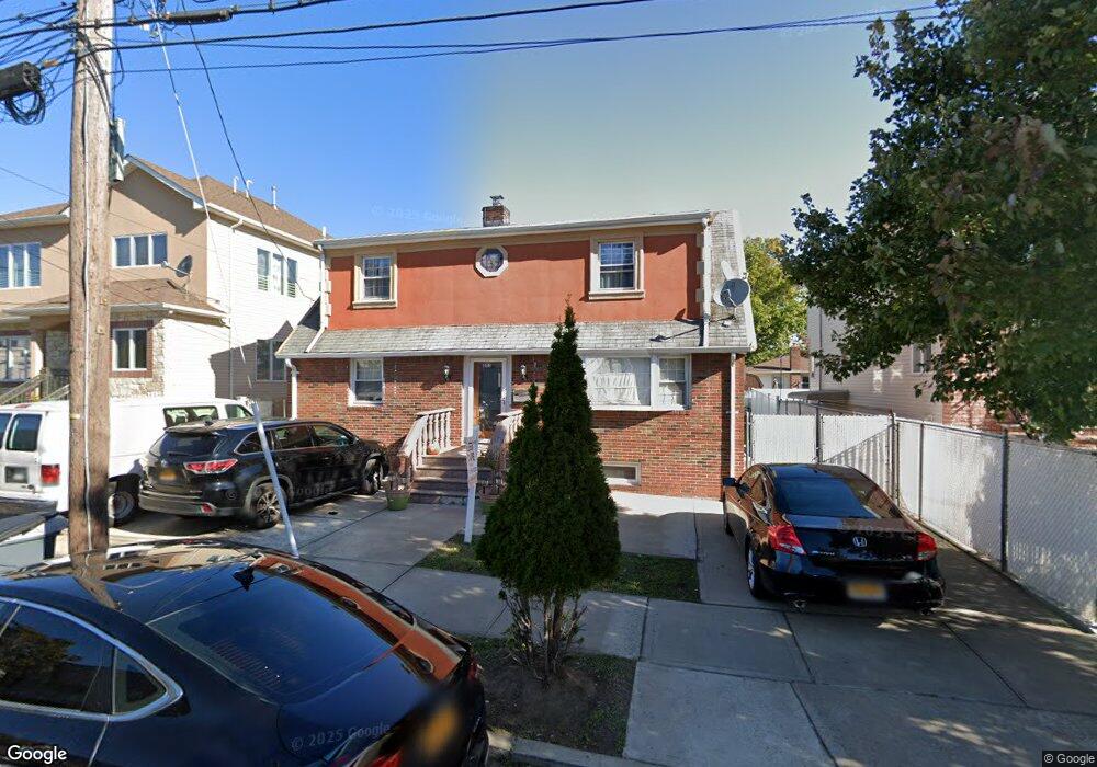
351 Atlantic Ave Staten Island, NY 10305
Dongan Hills NeighborhoodEstimated Value: $861,704 - $1,081,000
4
Beds
3
Baths
1,729
Sq Ft
$554/Sq Ft
Est. Value
About This Home
This home is located at 351 Atlantic Ave, Staten Island, NY 10305 and is currently estimated at $957,426, approximately $553 per square foot. 351 Atlantic Ave is a home located in Richmond County with nearby schools including P.S. 052 John C. Thompson, Is 2 George L Egbert, and New Dorp High School.
Ownership History
Date
Name
Owned For
Owner Type
Purchase Details
Closed on
Oct 5, 2001
Sold by
Ballentine Mary K and Ballentine Andrew
Bought by
Sohail Shehzad and Kulsum Fozia
Current Estimated Value
Home Financials for this Owner
Home Financials are based on the most recent Mortgage that was taken out on this home.
Original Mortgage
$300,000
Interest Rate
6.64%
Create a Home Valuation Report for This Property
The Home Valuation Report is an in-depth analysis detailing your home's value as well as a comparison with similar homes in the area
Home Values in the Area
Average Home Value in this Area
Purchase History
| Date | Buyer | Sale Price | Title Company |
|---|---|---|---|
| Sohail Shehzad | $345,000 | Lawyers Title Insurance Corp |
Source: Public Records
Mortgage History
| Date | Status | Borrower | Loan Amount |
|---|---|---|---|
| Previous Owner | Sohail Shehzad | $300,000 |
Source: Public Records
Tax History Compared to Growth
Tax History
| Year | Tax Paid | Tax Assessment Tax Assessment Total Assessment is a certain percentage of the fair market value that is determined by local assessors to be the total taxable value of land and additions on the property. | Land | Improvement |
|---|---|---|---|---|
| 2025 | $6,594 | $54,000 | $6,749 | $47,251 |
| 2024 | $6,594 | $48,060 | $7,583 | $40,477 |
| 2023 | $6,618 | $32,586 | $6,496 | $26,090 |
| 2022 | $6,137 | $49,380 | $11,100 | $38,280 |
| 2021 | $6,103 | $45,420 | $11,100 | $34,320 |
| 2020 | $5,791 | $47,940 | $11,100 | $36,840 |
| 2019 | $5,723 | $47,340 | $11,100 | $36,240 |
| 2018 | $5,536 | $27,155 | $8,373 | $18,782 |
| 2017 | $5,222 | $25,618 | $8,046 | $17,572 |
| 2016 | $4,831 | $24,168 | $10,255 | $13,913 |
| 2015 | $4,376 | $22,800 | $9,240 | $13,560 |
| 2014 | $4,376 | $22,800 | $9,240 | $13,560 |
Source: Public Records
Map
Nearby Homes
- 381 Burgher Ave
- 275 Hurlbert St
- 141 Evergreen Ave Unit 2a
- 12 Mcdermott Ave
- 286 Raritan Ave
- 416 Alter Ave
- 32 Henry Place
- 287 Alter Ave
- 125 Laconia Ave
- 357 Cromwell Ave
- 366 Cromwell Ave
- 132 S Railroad Ave
- 422 Cromwell Ave
- 424 Cromwell Ave
- 428 Cromwell Ave
- 240 Alter Ave
- 362 Garretson Ave
- 453 N Railroad Ave
- 160 Reid Ave
- 0 Hylan Blvd Unit 11348978
- 363 Atlantic Ave
- 345 Atlantic Ave
- 367 Atlantic Ave
- 340 Burgher Ave
- 344 Burgher Ave
- 334 Burgher Ave
- 371 Atlantic Ave
- 348 Burgher Ave
- 1562-1564 Hylan Blvd
- 375 Atlantic Ave Unit 377
- 362 Atlantic Ave
- 375-377 Atlantic Ave
- 352 Burgher Ave
- 370 Atlantic Ave
- 1556-1560 Hylan Blvd
- 372 Atlantic Ave
- 1564 Hylan Blvd
- 1560 Hylan Blvd
- 360 Burgher Ave
- 1580 Hylan Blvd