351 Durrell Rd Tamworth, NH 03886
Estimated Value: $352,495 - $445,000
2
Beds
2
Baths
1,453
Sq Ft
$269/Sq Ft
Est. Value
About This Home
This home is located at 351 Durrell Rd, Tamworth, NH 03886 and is currently estimated at $391,374, approximately $269 per square foot. 351 Durrell Rd is a home located in Carroll County with nearby schools including Kenneth A. Brett School, Bear Camp Valley School, and The Community School.
Create a Home Valuation Report for This Property
The Home Valuation Report is an in-depth analysis detailing your home's value as well as a comparison with similar homes in the area
Home Values in the Area
Average Home Value in this Area
Tax History Compared to Growth
Tax History
| Year | Tax Paid | Tax Assessment Tax Assessment Total Assessment is a certain percentage of the fair market value that is determined by local assessors to be the total taxable value of land and additions on the property. | Land | Improvement |
|---|---|---|---|---|
| 2024 | $3,926 | $272,100 | $74,100 | $198,000 |
| 2023 | $3,767 | $149,300 | $46,200 | $103,100 |
| 2022 | $3,549 | $149,300 | $46,200 | $103,100 |
| 2021 | $3,317 | $149,800 | $46,200 | $103,600 |
| 2020 | $3,368 | $149,800 | $46,200 | $103,600 |
| 2019 | $3,227 | $149,800 | $46,200 | $103,600 |
| 2018 | $3,042 | $131,900 | $27,400 | $104,500 |
| 2017 | $2,994 | $131,900 | $27,400 | $104,500 |
| 2016 | $3,026 | $131,900 | $27,400 | $104,500 |
| 2015 | $3,014 | $131,900 | $27,400 | $104,500 |
| 2013 | $2,920 | $146,000 | $39,100 | $106,900 |
Source: Public Records
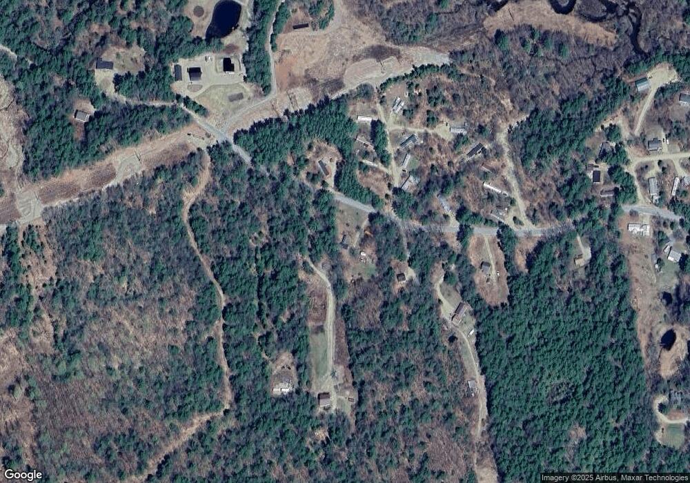
Map
Nearby Homes
- 27 Butternut Ln
- 137 Durrell Rd
- 96 Bryant Mill Rd
- 4 Whittier Rd
- 190 Whittier Rd
- 515 Hollow Hill Rd
- 527 Tamworth Rd
- 23 Summit View Dr
- 55 Hollow Hill Rd
- 255 Summit View Dr
- 83 Tamworth Rd
- 13 Mill Rd
- 85 Main St Unit 2
- 829 Bearcamp Hwy
- Map 206 Lot 28 Whittier Rd
- 898 Bunker Hill Rd
- 1252 Bearcamp Hwy
- 900 Bunker Hill Rd
- 898 & 900 Bunker Hill Rd
- 910 Page Hill Rd