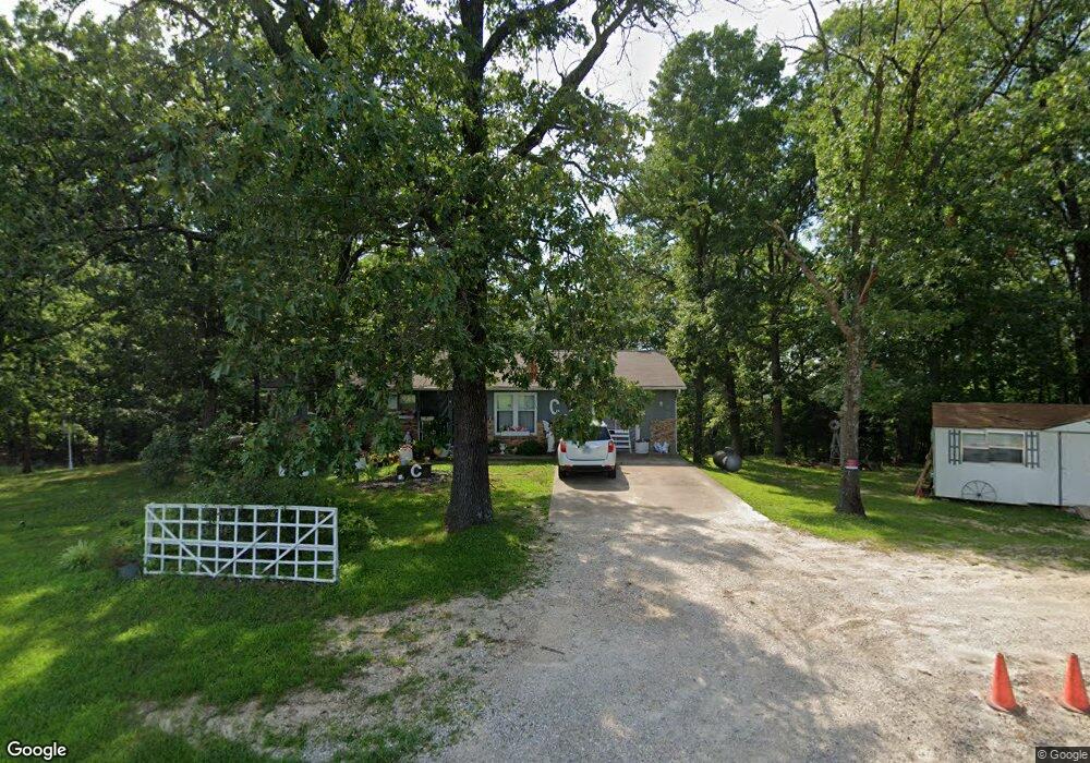
351 Highway D Kaiser, MO 65047
Estimated Value: $207,345 - $406,000
Studio
--
Bath
1,568
Sq Ft
$212/Sq Ft
Est. Value
About This Home
This home is located at 351 Highway D, Kaiser, MO 65047 and is currently estimated at $331,836, approximately $211 per square foot. 351 Highway D is a home with nearby schools including Heritage Elementary School, Osage Upper Elementary School, and Osage Middle School.
Ownership History
Date
Name
Owned For
Owner Type
Purchase Details
Closed on
Jul 9, 2021
Sold by
Cochran William Daniel and Cochran Deborah C
Bought by
Flaugher Terre R and Flaugher Misty D
Current Estimated Value
Home Financials for this Owner
Home Financials are based on the most recent Mortgage that was taken out on this home.
Original Mortgage
$127,500
Outstanding Balance
$115,543
Interest Rate
2.96%
Mortgage Type
New Conventional
Estimated Equity
$216,293
Purchase Details
Closed on
Apr 17, 2021
Sold by
Cochran William Daniel and Cochran Deborah C
Bought by
Flaugher Terre R and Flaugher Misty D
Create a Home Valuation Report for This Property
The Home Valuation Report is an in-depth analysis detailing your home's value as well as a comparison with similar homes in the area
Purchase History
| Date | Buyer | Sale Price | Title Company |
|---|---|---|---|
| Flaugher Terre R | -- | None Available | |
| Flaugher Terre R | -- | None Available |
Source: Public Records
Mortgage History
| Date | Status | Borrower | Loan Amount |
|---|---|---|---|
| Open | Flaugher Terre R | $127,500 |
Source: Public Records
Tax History
| Year | Tax Paid | Tax Assessment Tax Assessment Total Assessment is a certain percentage of the fair market value that is determined by local assessors to be the total taxable value of land and additions on the property. | Land | Improvement |
|---|---|---|---|---|
| 2025 | $977 | $20,820 | $1,830 | $18,990 |
| 2024 | $863 | $18,300 | $1,660 | $16,640 |
| 2023 | $885 | $18,300 | $1,660 | $16,640 |
| 2022 | $889 | $18,300 | $1,660 | $16,640 |
| 2021 | $889 | $18,300 | $1,660 | $16,640 |
| 2020 | $785 | $15,900 | $1,660 | $14,240 |
| 2019 | $786 | $15,900 | $1,660 | $14,240 |
| 2018 | $690 | $12,890 | $1,660 | $11,230 |
| 2017 | $641 | $13,950 | $1,620 | $12,330 |
| 2016 | $632 | $13,950 | $0 | $0 |
| 2015 | -- | $13,950 | $0 | $0 |
| 2012 | -- | $14,460 | $0 | $0 |
Source: Public Records
Map
Nearby Homes
- 79 Wood River Rd
- 749 Highway D
- TBD Scottish Landing Rd
- 831 College Blvd
- 21 Winston Ln
- 3 Mary Dr
- 6 Sam Dr
- 4 Kathleen Ct
- TBD Hwy 54
- Tract C Hwy 242
- 125 Arrowhead Dr
- 0 Osage River Bridge
- 290 Osage River Bridge
- Lot 220 & 221 Cherry Hill Dr
- Xxx Campbell Acres
- 505 Osage River Bridge Rd
- Tract E Hwy 242
- Lot 26, 27 and 29 Forrest Hills Acres
- 323 Cherry Hill Dr
- 336 Cherry Hill Ln
- 361 Highway D
- 350 Highway D
- 0 Oak Bend Dr
- 20 Mahogany Rd
- 20 Mahogany Rd
- 20 Osage Highlands Dr
- 40 Osage Highlands Dr
- 40 Osage Highland Dr
- 50 Osage Highlands Dr
- 61 Osage Highlands Dr
- 000 Osage Highland Dr
- Lot 12 Osage Highland Dr
- 4 High Ridge Ct
- 70 Osage Highlands Dr
- 8 High Ridge Ct
- 41 Osage Highlands Dr
- 41 Osage Highland Dr
- 51 Osage Highlands Dr
- 51 Osage Highland Dr
- 22 High Ridge Ct
Your Personal Tour Guide
Ask me questions while you tour the home.