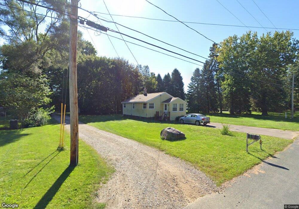
351 Lawndale Ave Kalamazoo, MI 49048
Estimated Value: $119,000 - $165,000
2
Beds
1
Bath
780
Sq Ft
$173/Sq Ft
Est. Value
About This Home
This home is located at 351 Lawndale Ave, Kalamazoo, MI 49048 and is currently estimated at $134,721, approximately $172 per square foot. 351 Lawndale Ave is a home located in Kalamazoo County with nearby schools including Comstock Middle School and Comstock High School.
Ownership History
Date
Name
Owned For
Owner Type
Purchase Details
Closed on
Dec 6, 2024
Sold by
Leys William Mikel
Bought by
Landscape Forms Inc
Current Estimated Value
Purchase Details
Closed on
Feb 22, 2023
Sold by
Conroy Melody K
Bought by
Leys William Mikel
Home Financials for this Owner
Home Financials are based on the most recent Mortgage that was taken out on this home.
Original Mortgage
$84,390
Interest Rate
6.15%
Mortgage Type
New Conventional
Purchase Details
Closed on
Jun 10, 2005
Sold by
Soliday Ralph D and Soliday Barbara J
Bought by
Soliday Ralph D and Soliday Barabara J
Create a Home Valuation Report for This Property
The Home Valuation Report is an in-depth analysis detailing your home's value as well as a comparison with similar homes in the area
Home Values in the Area
Average Home Value in this Area
Purchase History
| Date | Buyer | Sale Price | Title Company |
|---|---|---|---|
| Landscape Forms Inc | -- | Sun Title Agency Of Michigan | |
| Leys William Mikel | $87,000 | Nations Title | |
| Soliday Ralph D | -- | -- |
Source: Public Records
Mortgage History
| Date | Status | Borrower | Loan Amount |
|---|---|---|---|
| Previous Owner | Leys William Mikel | $84,390 | |
| Closed | Leys William Mikel | $6,458 |
Source: Public Records
Tax History Compared to Growth
Tax History
| Year | Tax Paid | Tax Assessment Tax Assessment Total Assessment is a certain percentage of the fair market value that is determined by local assessors to be the total taxable value of land and additions on the property. | Land | Improvement |
|---|---|---|---|---|
| 2024 | $947 | $38,900 | $0 | $0 |
| 2023 | $517 | $33,900 | $0 | $0 |
| 2022 | $893 | $29,200 | $0 | $0 |
| 2021 | $869 | $26,200 | $0 | $0 |
| 2020 | $816 | $22,900 | $0 | $0 |
| 2019 | $754 | $20,200 | $0 | $0 |
| 2018 | $728 | $19,100 | $0 | $0 |
| 2017 | $0 | $18,600 | $0 | $0 |
| 2016 | -- | $18,600 | $0 | $0 |
| 2015 | -- | $19,800 | $5,200 | $14,600 |
| 2014 | -- | $19,800 | $0 | $0 |
Source: Public Records
Map
Nearby Homes
- 359 Elliot Rd
- 7222 Gleason St
- 7138 Gleason St
- 8464 E Michigan Ave
- 8181 Fawn Meadow Trail
- 7702 N Gleneagle Dr
- 1049 Antler
- 7683 Kilowatt Dr
- 1353 N 30th St
- 221 Sparks St
- 7862 E Main St
- 6390 Celery St
- 134 Grandview Unit 47
- 147 Station Hill St
- 207 Station Hill St
- 222 Station Hill St
- 233 Depot Cir
- 218 N 26th St
- 1187 Merry Brook Dr
- 1226 Merry Brook St
- 317 Lawndale Ave
- 354 Lawndale Ave
- 322 Lawndale Ave
- 297 Lawndale Ave
- 387 Lawndale Ave
- 299 Lawndale Ave
- 495 Lawndale Ave
- 298 Lawndale Ave
- 261 Lawndale Ave
- 280 Lawndale Ave
- 7667 Arden Ave
- 7598 Arden Ave
- 420 Lawndale Ave
- 258 Lawndale Ave
- 299 Elliot Rd
- 232 Lawndale Ave
- 451 Lawndale Ave
- 411 Elliot Rd
- 431 Lawndale Ave
- 431 Lawndale Ave