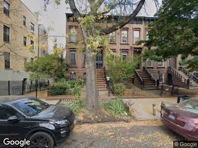
351 Macon St Brooklyn, NY 11233
Bed-Stuy NeighborhoodEstimated Value: $1,516,000 - $2,251,000
--
Bed
--
Bath
2,400
Sq Ft
$796/Sq Ft
Est. Value
About This Home
This home is located at 351 Macon St, Brooklyn, NY 11233 and is currently estimated at $1,910,794, approximately $796 per square foot. 351 Macon St is a home located in Kings County with nearby schools including P.S. 262 El Hajj Malik El Shabazz Elementary School, Leadership Preparatory Bedford Stuyvesant Charter School, and The Co-Op School.
Ownership History
Date
Name
Owned For
Owner Type
Purchase Details
Closed on
Sep 13, 2017
Sold by
Kerr Priscilla J
Bought by
Derick S Kerr Trustee and Priscilla J Kerr 2017 Irrevocable Trust
Current Estimated Value
Purchase Details
Closed on
Mar 29, 1994
Sold by
Kerr Clive H
Bought by
Kerr Priscilla J
Home Financials for this Owner
Home Financials are based on the most recent Mortgage that was taken out on this home.
Original Mortgage
$90,000
Interest Rate
8.44%
Create a Home Valuation Report for This Property
The Home Valuation Report is an in-depth analysis detailing your home's value as well as a comparison with similar homes in the area
Home Values in the Area
Average Home Value in this Area
Purchase History
| Date | Buyer | Sale Price | Title Company |
|---|---|---|---|
| Derick S Kerr Trustee | -- | -- | |
| Kerr Priscilla J | -- | Chicago Title Insurance Co |
Source: Public Records
Mortgage History
| Date | Status | Borrower | Loan Amount |
|---|---|---|---|
| Previous Owner | Kerr Priscilla J | $20,467 | |
| Previous Owner | Kerr Priscilla J | $90,000 |
Source: Public Records
Tax History Compared to Growth
Tax History
| Year | Tax Paid | Tax Assessment Tax Assessment Total Assessment is a certain percentage of the fair market value that is determined by local assessors to be the total taxable value of land and additions on the property. | Land | Improvement |
|---|---|---|---|---|
| 2024 | $3,690 | $92,580 | $19,320 | $73,260 |
| 2023 | $3,732 | $94,200 | $19,320 | $74,880 |
| 2022 | $3,427 | $91,740 | $19,320 | $72,420 |
| 2021 | $3,572 | $87,480 | $19,320 | $68,160 |
| 2020 | $3,572 | $90,240 | $19,320 | $70,920 |
| 2019 | $3,154 | $84,840 | $19,320 | $65,520 |
| 2018 | $3,061 | $16,478 | $4,626 | $11,852 |
| 2017 | $3,023 | $16,300 | $3,834 | $12,466 |
| 2016 | $2,769 | $15,400 | $4,890 | $10,510 |
| 2015 | $1,635 | $14,529 | $6,926 | $7,603 |
| 2014 | $1,635 | $13,732 | $7,853 | $5,879 |
Source: Public Records
Map
Nearby Homes
- 458 Halsey St Unit 4
- 458 Halsey St
- 460A Hancock St
- 466 Hancock St
- 382 Macon St
- 479 Hancock St
- 410 Hancock St
- 137 Decatur St
- 282 Macon St
- 297 Macon St
- 482 Jefferson Ave
- 190A Decatur St
- 470 Jefferson Ave
- 346 Halsey St
- 55 Bainbridge St
- 397A Hancock St
- 65 Bainbridge St
- 465A Halsey St
- 319 Macdonough St
- 378 Hancock St
- 351 Macon St
- 353 Macon St
- 353 Macon St Unit 1
- 355 Macon St
- 355 Macon St Unit 1
- 355 Macon St Unit 3
- 423 Marcus Garvey Blvd Unit 1-R
- 423 Marcus Garvey Blvd Unit 4-R
- 423 Marcus Garvey Blvd Unit GARDEN
- 423 Marcus Garvey Blvd Unit 3-R
- 423 Marcus Garvey Blvd Unit 2
- 423 Marcus Garvey Blvd Unit 4-F
- 423 Marcus Garvey Blvd Unit 3-F
- 423 Marcus Garvey Blvd Unit 6
- 421 Marcus Garvey Blvd
- 357 Macon St
- 419 Marcus Garvey Blvd Unit 5
- 419 Marcus Garvey Blvd Unit 1
- 419 Marcus Garvey Blvd Unit 7-A
- 419 Marcus Garvey Blvd Unit 6