351 Morgan Rd West Springfield, MA 01089
Estimated Value: $564,000 - $774,000
4
Beds
2
Baths
4,550
Sq Ft
$144/Sq Ft
Est. Value
About This Home
This home is located at 351 Morgan Rd, West Springfield, MA 01089 and is currently estimated at $655,750, approximately $144 per square foot. 351 Morgan Rd is a home located in Hampden County with nearby schools including Hampden Charter School of Science West and St Thomas The Apostle School.
Ownership History
Date
Name
Owned For
Owner Type
Purchase Details
Closed on
Oct 17, 2025
Sold by
Bear With Me Realty Nt and Sullivan
Bought by
Cody Rt and Sullivan
Current Estimated Value
Purchase Details
Closed on
Apr 13, 2009
Sold by
Sullivan Todd M
Bought by
Sullivan Todd M and Sullivan John J
Purchase Details
Closed on
May 31, 2007
Sold by
Abj Sullivan Nt and Sullivan
Bought by
Sullivan Todd M
Home Financials for this Owner
Home Financials are based on the most recent Mortgage that was taken out on this home.
Original Mortgage
$190,400
Interest Rate
6.24%
Mortgage Type
Purchase Money Mortgage
Purchase Details
Closed on
Aug 3, 2004
Sold by
Sullivan Todd M
Bought by
Abj Sullivan Nt and Sullivan
Home Financials for this Owner
Home Financials are based on the most recent Mortgage that was taken out on this home.
Original Mortgage
$200,000
Interest Rate
6.33%
Mortgage Type
Purchase Money Mortgage
Purchase Details
Closed on
Feb 26, 2004
Sold by
Boido Robert P and Westfield Bk
Bought by
Sullivan Todd M
Create a Home Valuation Report for This Property
The Home Valuation Report is an in-depth analysis detailing your home's value as well as a comparison with similar homes in the area
Home Values in the Area
Average Home Value in this Area
Purchase History
| Date | Buyer | Sale Price | Title Company |
|---|---|---|---|
| Cody Rt | -- | -- | |
| Sullivan Todd M | -- | -- | |
| Sullivan Todd M | -- | -- | |
| Sullivan Todd M | -- | -- | |
| Sullivan Todd M | -- | -- | |
| Abj Sullivan Nt | -- | -- | |
| Abj Sullivan Nt | -- | -- | |
| Sullivan Todd M | $160,000 | -- | |
| Sullivan Todd M | $160,000 | -- |
Source: Public Records
Mortgage History
| Date | Status | Borrower | Loan Amount |
|---|---|---|---|
| Previous Owner | Sullivan Todd M | $190,400 | |
| Previous Owner | Abj Sullivan Nt | $200,000 | |
| Previous Owner | Sullivan Todd M | $180,000 |
Source: Public Records
Tax History Compared to Growth
Tax History
| Year | Tax Paid | Tax Assessment Tax Assessment Total Assessment is a certain percentage of the fair market value that is determined by local assessors to be the total taxable value of land and additions on the property. | Land | Improvement |
|---|---|---|---|---|
| 2025 | $8,848 | $595,000 | $131,000 | $464,000 |
| 2024 | $8,277 | $558,900 | $131,000 | $427,900 |
| 2023 | $7,731 | $497,500 | $131,000 | $366,500 |
| 2022 | $7,031 | $446,100 | $119,300 | $326,800 |
| 2021 | $6,714 | $397,300 | $98,000 | $299,300 |
| 2020 | $6,796 | $400,000 | $98,000 | $302,000 |
| 2019 | $6,784 | $400,000 | $98,000 | $302,000 |
| 2018 | $6,820 | $400,000 | $98,000 | $302,000 |
| 2017 | $6,820 | $400,000 | $98,000 | $302,000 |
| 2016 | $6,808 | $400,700 | $92,600 | $308,100 |
| 2015 | $6,670 | $392,600 | $90,500 | $302,100 |
| 2014 | $1,484 | $390,800 | $90,500 | $300,300 |
Source: Public Records
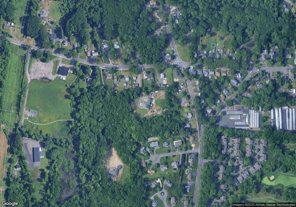
Map
Nearby Homes
- 36 Shady Brook
- 64 Apple Ridge Rd
- 32 Windpath E
- 42 Gregory Ln
- 147 Grandview Ave
- 86 Birnie Ave
- 81 Laurence Dr
- 1304 Elm St Unit 4C
- 917 Elm St
- 485 Riverside Rd
- 80 Brush Hill Ave Unit 28
- 80 Brush Hill Ave Unit 32
- 61 Clarence St
- 43 Wishing Well Way
- 51-53 Abbe Ave
- 19 Cora St
- 65 Verdugo St
- 42 Janet St
- 74 Maple Terrace
- 11 Annie's Way