351 Soo Line Rd Hudson, WI 54016
Troy NeighborhoodEstimated Value: $708,545 - $794,000
Studio
--
Bath
--
Sq Ft
131,769
Sq Ft
About This Home
This home is located at 351 Soo Line Rd, Hudson, WI 54016 and is currently estimated at $754,886. 351 Soo Line Rd is a home located in St. Croix County with nearby schools including River Crest Elementary School, Hudson Middle School, and Hudson High School.
Ownership History
Date
Name
Owned For
Owner Type
Purchase Details
Closed on
Mar 25, 2008
Sold by
Novak Kristopher L and Novak Jennifer A
Bought by
Novak Kristopher L and Novak Jennifer A
Current Estimated Value
Home Financials for this Owner
Home Financials are based on the most recent Mortgage that was taken out on this home.
Original Mortgage
$30,000
Interest Rate
5.88%
Mortgage Type
Credit Line Revolving
Create a Home Valuation Report for This Property
The Home Valuation Report is an in-depth analysis detailing your home's value as well as a comparison with similar homes in the area
Home Values in the Area
Average Home Value in this Area
Purchase History
| Date | Buyer | Sale Price | Title Company |
|---|---|---|---|
| Novak Kristopher L | -- | None Available |
Source: Public Records
Mortgage History
| Date | Status | Borrower | Loan Amount |
|---|---|---|---|
| Closed | Novak Kristopher L | $30,000 |
Source: Public Records
Tax History
| Year | Tax Paid | Tax Assessment Tax Assessment Total Assessment is a certain percentage of the fair market value that is determined by local assessors to be the total taxable value of land and additions on the property. | Land | Improvement |
|---|---|---|---|---|
| 2025 | $7,036 | $592,400 | $131,400 | $461,000 |
| 2024 | $65 | $592,400 | $131,400 | $461,000 |
| 2023 | $6,490 | $592,400 | $131,400 | $461,000 |
| 2022 | $6,712 | $592,400 | $131,400 | $461,000 |
| 2021 | $6,297 | $409,200 | $100,300 | $308,900 |
| 2020 | $6,404 | $409,200 | $100,300 | $308,900 |
| 2019 | $6,172 | $409,200 | $100,300 | $308,900 |
| 2018 | $5,936 | $409,200 | $100,300 | $308,900 |
| 2017 | $5,654 | $409,200 | $100,300 | $308,900 |
| 2016 | $5,654 | $409,200 | $100,300 | $308,900 |
| 2015 | $5,166 | $409,200 | $100,300 | $308,900 |
| 2014 | $4,995 | $409,200 | $100,300 | $308,900 |
| 2013 | $5,144 | $409,200 | $100,300 | $308,900 |
Source: Public Records
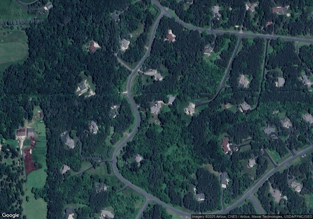
Map
Nearby Homes
- 553 Omaha Rd
- 316 Shelby Court Lot 33
- 408 Moelter Ln
- 421 N Glover Rd
- 404 Moelter Ln
- 415 Moelter Ln
- 416 Moelter Ln
- 463 Fieldstone Court Lot 57
- 395 Moelter Ln
- 251 Saddle Ridge Ln
- 249 Saddle Ridge Ln
- xxx Valerie Avenue Ave
- 570 Coulee Trail
- 214 Madison Cir
- XXX Tower Rd
- 722 (Lot 40) Crest Curve
- 725 (Lot 53) Crest Curve
- 725 Crest Curve
- 491 (Lot 10) Prominence Way
- 467 (Lot 2) Prominence Way
- 348 Soo Line Rd
- 350 Soo Line Rd
- 346 Soo Line Rd
- 354 Soo Line Rd
- 344 Soo Line Rd
- 359 Soo Line Rd
- 345 Soo Line Rd
- 340 Soo Line Rd
- 362 Soo Line Rd
- 360 Southern Pacific Rd
- 341 Soo Line Rd
- 363 Southern Pacific Rd
- 356 Southern Pacific Rd
- 358 Southern Pacific Rd
- 361 Southern Pacific Rd
- 322 Gandy Dancer Cir
- 337 Soo Line Rd
- 325 Gandy Dancer Cir
- 339 Soo Line Rd
- 368 Southern Pacific Rd
Your Personal Tour Guide
Ask me questions while you tour the home.