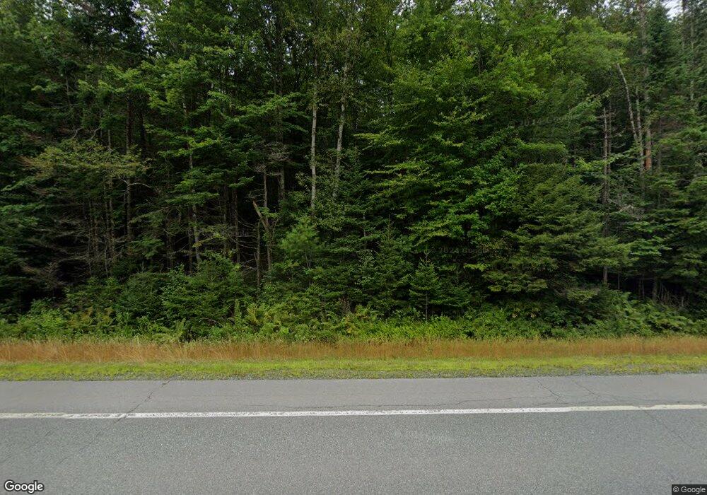
Estimated Value: $162,000 - $353,000
--
Bed
--
Bath
307
Sq Ft
$852/Sq Ft
Est. Value
About This Home
This home is located at 351 Stark Hwy, Stark, NH 03582 and is currently estimated at $261,602, approximately $852 per square foot. 351 Stark Hwy is a home located in Coos County.
Create a Home Valuation Report for This Property
The Home Valuation Report is an in-depth analysis detailing your home's value as well as a comparison with similar homes in the area
Home Values in the Area
Average Home Value in this Area
Tax History Compared to Growth
Tax History
| Year | Tax Paid | Tax Assessment Tax Assessment Total Assessment is a certain percentage of the fair market value that is determined by local assessors to be the total taxable value of land and additions on the property. | Land | Improvement |
|---|---|---|---|---|
| 2024 | $1,460 | $134,423 | $95,023 | $39,400 |
| 2023 | $1,095 | $52,840 | $35,640 | $17,200 |
| 2022 | $868 | $53,046 | $35,846 | $17,200 |
| 2021 | $1,057 | $53,054 | $35,854 | $17,200 |
| 2020 | $956 | $53,123 | $35,923 | $17,200 |
| 2019 | $959 | $53,096 | $35,896 | $17,200 |
| 2018 | $853 | $47,519 | $27,819 | $19,700 |
| 2017 | $863 | $47,425 | $27,725 | $19,700 |
| 2016 | $838 | $48,103 | $27,703 | $20,400 |
| 2015 | $817 | $48,030 | $27,630 | $20,400 |
| 2014 | $840 | $48,029 | $27,629 | $20,400 |
| 2013 | $856 | $48,971 | $28,271 | $20,700 |
Source: Public Records
Map
Nearby Homes
- 68 Short Rd
- 00 Bell Hill Rd
- 112 Normand Rd
- 53 Montgomery Rd
- 00 Mountain View Rd
- 0 Mountain View Rd
- 128 Old Route 110
- 338 Percy Rd
- 388 Percy Rd
- 25 Sullivan Rd
- 750 Percy Rd
- 1116 W Milan Rd
- 48 Spring Rd
- 238 Northside Rd
- 1 Nay Pond Island
- 205 Overlook Rd
- 00 W Milan Rd
- 170 Cogswell Rd Unit 288/025
- 10 Pontook Estates Rd
- 460 Milan Hill Rd
