Estimated Value: $337,815
Studio
1
Bath
953
Sq Ft
$354/Sq Ft
Est. Value
About This Home
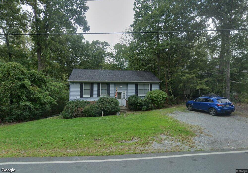
This home is located at 351 Thunderbird Dr, Lusby, MD 20657 and is currently estimated at $337,815, approximately $354 per square foot. 351 Thunderbird Dr is a home located in Calvert County with nearby schools including Patuxent Appeal Elementary Campus, Mill Creek Middle School, and Patuxent High School.
Ownership History
Date
Name
Owned For
Owner Type
Purchase Details
Closed on
Aug 9, 1999
Sold by
House Donald James
Bought by
Williams Bryan D and Williams Hope A
Current Estimated Value
Purchase Details
Closed on
Aug 2, 1990
Sold by
Franzen Bradly A
Bought by
House Donald James
Home Financials for this Owner
Home Financials are based on the most recent Mortgage that was taken out on this home.
Original Mortgage
$85,531
Interest Rate
9.98%
Create a Home Valuation Report for This Property
The Home Valuation Report is an in-depth analysis detailing your home's value as well as a comparison with similar homes in the area
Home Values in the Area
Average Home Value in this Area
Purchase History
| Date | Buyer | Sale Price | Title Company |
|---|---|---|---|
| Williams Bryan D | $109,900 | -- | |
| House Donald James | $83,900 | -- |
Source: Public Records
Mortgage History
| Date | Status | Borrower | Loan Amount |
|---|---|---|---|
| Previous Owner | House Donald James | $85,531 | |
| Closed | Williams Bryan D | -- |
Source: Public Records
Tax History
| Year | Tax Paid | Tax Assessment Tax Assessment Total Assessment is a certain percentage of the fair market value that is determined by local assessors to be the total taxable value of land and additions on the property. | Land | Improvement |
|---|---|---|---|---|
| 2025 | $437 | $232,133 | $0 | $0 |
| 2024 | $432 | $211,667 | $0 | $0 |
| 2023 | $154 | $191,200 | $55,200 | $136,000 |
| 2022 | $1,938 | $186,500 | $0 | $0 |
| 2021 | $852 | $181,800 | $0 | $0 |
| 2020 | $2,269 | $177,100 | $55,200 | $121,900 |
| 2019 | $1,791 | $170,733 | $0 | $0 |
| 2018 | $1,724 | $164,367 | $0 | $0 |
| 2017 | $2,054 | $158,000 | $0 | $0 |
| 2016 | -- | $158,000 | $0 | $0 |
| 2015 | $1,259 | $158,000 | $0 | $0 |
| 2014 | $1,259 | $159,900 | $0 | $0 |
Source: Public Records
Map
Nearby Homes
- 11966 Hemlock Rd
- 348 Red Cloud Rd
- 389 Thunderbird Dr
- 11615 Big Bear Ln
- 11722 Big Bear Ln
- 12361 Silver Rock Cir
- 11624 Deadwood Dr
- 11705 Big Bear Ln
- 11609 Deadwood Dr
- 285 Red Cloud Rd
- 548 Antelope Trail
- 542 Chisholm Trail
- 291 Red Cloud Rd
- 646 White Rock Rd
- 11525 Palo Alto Rd
- 630 Palo Alto Ct
- 11546 Buckskin Ct
- 634 Silver Rock Rd
- 513 Cody Trail
- 12609 Olivet Rd
- 347 Thunderbird Dr
- 11949 Hemlock Rd
- 11836 Poplar Ct
- 11869 Highview Cir
- 348 Thunderbird Dr
- 11821 Poplar Ct
- 11840 Poplar Ct
- 11953 Hemlock Rd
- 11835 Poplar Ct
- 11957 Hemlock Rd
- 344 Thunderbird Dr
- 360 Thunderbird Dr
- 341 Thunderbird Dr
- 11870 Highview Cir
- 361 Thunderbird Dr
- 11865 Highview Cir
- 340 Thunderbird Dr
- 11954 Hemlock Rd
- 11839 Poplar Ct
- 391 Red Cloud Rd
Your Personal Tour Guide
Ask me questions while you tour the home.