351 Tobacco Rd Cullowhee, NC 28723
Estimated Value: $59,000 - $66,000
1
Bed
2
Baths
1,164
Sq Ft
$54/Sq Ft
Est. Value
About This Home
This home is located at 351 Tobacco Rd, Cullowhee, NC 28723 and is currently estimated at $62,532, approximately $53 per square foot. 351 Tobacco Rd is a home located in Jackson County with nearby schools including Cullowhee Valley School and Smoky Mountain High School.
Ownership History
Date
Name
Owned For
Owner Type
Purchase Details
Closed on
May 15, 2023
Sold by
Holland Max K and Holland Priscilla B
Bought by
Queen Jason B and Morris Taylor B
Current Estimated Value
Home Financials for this Owner
Home Financials are based on the most recent Mortgage that was taken out on this home.
Original Mortgage
$43,000
Outstanding Balance
$19,242
Interest Rate
6.32%
Mortgage Type
Seller Take Back
Estimated Equity
$43,290
Purchase Details
Closed on
Dec 17, 2012
Sold by
Huff Robert Kevin
Bought by
Holland Priscilla B and Holland Max K
Create a Home Valuation Report for This Property
The Home Valuation Report is an in-depth analysis detailing your home's value as well as a comparison with similar homes in the area
Home Values in the Area
Average Home Value in this Area
Purchase History
| Date | Buyer | Sale Price | Title Company |
|---|---|---|---|
| Queen Jason B | $58,000 | None Listed On Document | |
| Holland Priscilla B | $31,802 | None Available |
Source: Public Records
Mortgage History
| Date | Status | Borrower | Loan Amount |
|---|---|---|---|
| Open | Queen Jason B | $43,000 |
Source: Public Records
Tax History Compared to Growth
Tax History
| Year | Tax Paid | Tax Assessment Tax Assessment Total Assessment is a certain percentage of the fair market value that is determined by local assessors to be the total taxable value of land and additions on the property. | Land | Improvement |
|---|---|---|---|---|
| 2025 | $162 | $42,754 | $27,000 | $15,754 |
| 2024 | $159 | $41,800 | $25,300 | $16,500 |
| 2023 | $239 | $41,800 | $25,300 | $16,500 |
| 2022 | $239 | $41,800 | $25,300 | $16,500 |
| 2021 | $159 | $41,800 | $25,300 | $16,500 |
| 2020 | $299 | $62,210 | $13,200 | $49,010 |
| 2019 | $299 | $62,210 | $13,200 | $49,010 |
| 2018 | $299 | $62,210 | $13,200 | $49,010 |
| 2017 | $293 | $62,210 | $13,200 | $49,010 |
| 2015 | $434 | $62,210 | $13,200 | $49,010 |
| 2011 | -- | $95,100 | $18,700 | $76,400 |
Source: Public Records
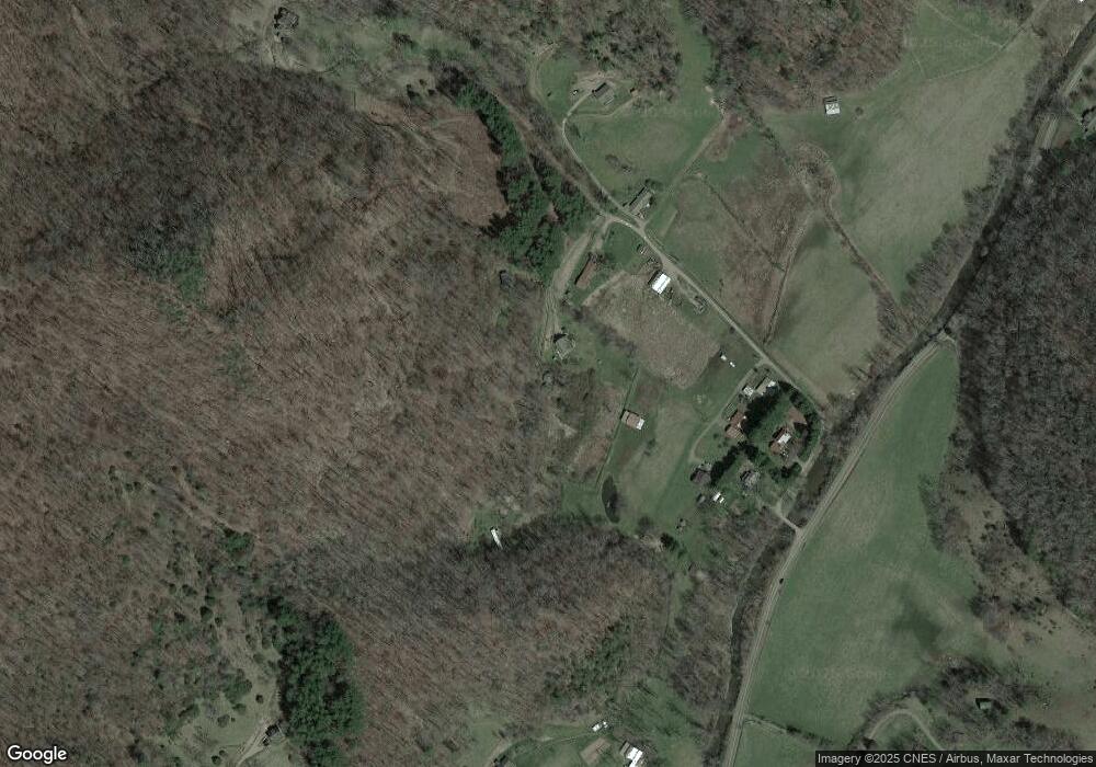
Map
Nearby Homes
- 4982 Caney Fork Rd
- Lt 17 Amaryllis Trail
- Lt 19 Amaryllis Trail
- Lt 11 Amaryllis Trail
- 112 Hawks Nest Ridge
- 1152 Moses Creek Rd
- 1778 Brasstown Rd
- 0 Hooper Cemetery Rd Unit 31
- 415 Shady Grv Rd
- 444 Woodring Cemetery Rd
- Lot 44 Coppermine Ridge
- 241 Canada Rd
- 281 Canada Rd
- 0 Canada Rd Unit 26042401
- 648 Suntrace Cir
- 190 Dallas Ln
- 415 Shady Grove Rd
- 22 S Sundrops Trail
- 205 Blackwood Rd
- Lot 4 Wild Top Trail
- 301 Tobacco Rd
- 375 Tobacco Rd
- 290 Tobacco Rd
- 241 Tobacco Rd
- 63 Sun Valley Rd
- 445 Catnip Rd
- 21 Tobacco Rd
- 222 Tobacco Rd
- 49 Tobacco Rd
- TBD Tobacco Rd
- 20 Triple Fork Rd
- 210 Triple Fork Rd
- 201 Wooded Way
- 250 Tobacco Rd
- 4528 Caney Fork Rd
- 120 Wooded Way
- 208 Triple Fork Rd
- 247 Triple Fork Rd
- 113 Catnip Rd
- 9 Catnip Rd