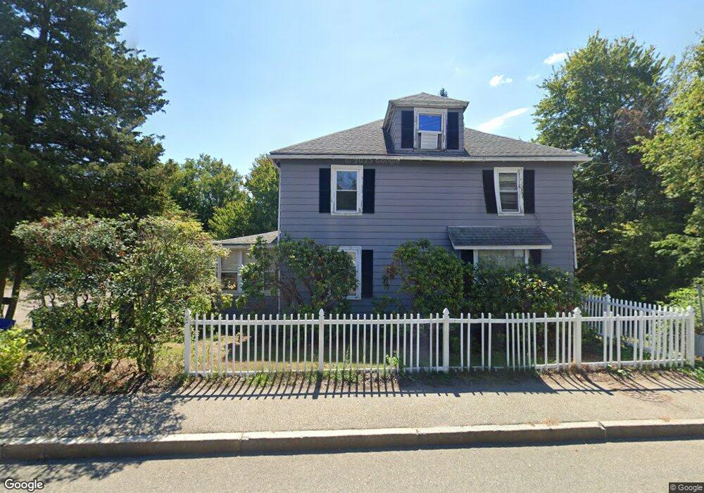
351 Union St Braintree, MA 02184
East Braintree NeighborhoodEstimated Value: $684,412 - $807,000
4
Beds
3
Baths
1,758
Sq Ft
$420/Sq Ft
Est. Value
About This Home
This home is located at 351 Union St, Braintree, MA 02184 and is currently estimated at $738,853, approximately $420 per square foot. 351 Union St is a home located in Norfolk County with nearby schools including Braintree High School, Step Ahead Kindergarten, and Sacred Heart Elementary School.
Ownership History
Date
Name
Owned For
Owner Type
Purchase Details
Closed on
Jan 30, 2026
Sold by
Yee Michael and Gao Rui P
Bought by
Yee Nancy
Current Estimated Value
Home Financials for this Owner
Home Financials are based on the most recent Mortgage that was taken out on this home.
Original Mortgage
$120,000
Outstanding Balance
$120,000
Interest Rate
6.21%
Mortgage Type
New Conventional
Estimated Equity
$618,853
Purchase Details
Closed on
Apr 28, 2004
Sold by
Huynh Kevin T and Quach Mai T
Bought by
Yee Michael and Gao Rui P
Purchase Details
Closed on
Mar 6, 2000
Sold by
Norton James J and Norton Patricia A
Bought by
Quach Mai T
Home Financials for this Owner
Home Financials are based on the most recent Mortgage that was taken out on this home.
Original Mortgage
$215,000
Interest Rate
8.21%
Mortgage Type
Purchase Money Mortgage
Purchase Details
Closed on
Oct 28, 1988
Sold by
Adley Marion O
Bought by
Norton James J
Home Financials for this Owner
Home Financials are based on the most recent Mortgage that was taken out on this home.
Original Mortgage
$152,900
Interest Rate
10.32%
Mortgage Type
Purchase Money Mortgage
Create a Home Valuation Report for This Property
The Home Valuation Report is an in-depth analysis detailing your home's value as well as a comparison with similar homes in the area
Home Values in the Area
Average Home Value in this Area
Purchase History
| Date | Buyer | Sale Price | Title Company |
|---|---|---|---|
| Yee Nancy | $600,000 | -- | |
| Yee Michael | $388,900 | -- | |
| Quach Mai T | $238,900 | -- | |
| Norton James J | $169,900 | -- |
Source: Public Records
Mortgage History
| Date | Status | Borrower | Loan Amount |
|---|---|---|---|
| Open | Yee Nancy | $120,000 | |
| Previous Owner | Norton James J | $217,000 | |
| Previous Owner | Norton James J | $215,000 | |
| Previous Owner | Norton James J | $138,000 | |
| Previous Owner | Norton James J | $152,900 |
Source: Public Records
Tax History
| Year | Tax Paid | Tax Assessment Tax Assessment Total Assessment is a certain percentage of the fair market value that is determined by local assessors to be the total taxable value of land and additions on the property. | Land | Improvement |
|---|---|---|---|---|
| 2025 | $6,068 | $608,000 | $346,900 | $261,100 |
| 2024 | $5,496 | $579,700 | $320,600 | $259,100 |
| 2023 | $5,257 | $538,600 | $294,300 | $244,300 |
| 2022 | $5,150 | $517,600 | $273,300 | $244,300 |
| 2021 | $4,795 | $481,900 | $252,300 | $229,600 |
| 2020 | $4,649 | $471,500 | $252,300 | $219,200 |
| 2019 | $4,614 | $457,300 | $252,300 | $205,000 |
| 2018 | $4,172 | $395,800 | $199,700 | $196,100 |
| 2017 | $3,899 | $363,000 | $178,700 | $184,300 |
| 2016 | $3,666 | $333,900 | $157,700 | $176,200 |
| 2015 | $3,553 | $321,000 | $151,400 | $169,600 |
| 2014 | $3,514 | $307,700 | $151,400 | $156,300 |
Source: Public Records
Map
Nearby Homes
- 36 Chestnut Ave
- 31 Doris Rd
- 564 Middle St
- 605 Middle St Unit 38
- 14 Hillside Rd
- 599 Union St
- 632 Washington St Unit G5
- 5 Woodsum Dr Unit 12
- 300 Commercial St Unit 23
- 469-471 Washington St
- 491 Washington St Unit 1
- 26 Tingley Rd
- 18 Hobart St
- 37 Lantern Ln
- 41 Lantern Ln
- 426 John Mahar Hwy Unit 311
- 426 John Mahar Hwy Unit 406
- 422 John Mahar Hwy Unit 408
- 342 Elm St
- 140 Commercial St
Your Personal Tour Guide
Ask me questions while you tour the home.