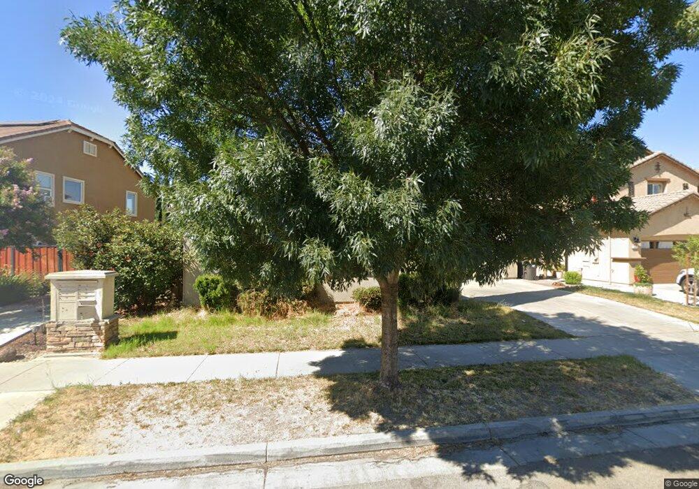
351 Wild Oak Dr Lathrop, CA 95330
Estimated Value: $686,331 - $717,000
4
Beds
3
Baths
2,780
Sq Ft
$251/Sq Ft
Est. Value
About This Home
This home is located at 351 Wild Oak Dr, Lathrop, CA 95330 and is currently estimated at $698,110, approximately $251 per square foot. 351 Wild Oak Dr is a home located in San Joaquin County with nearby schools including Mossdale Elementary School, Lathrop High School, and River Island School of Technology.
Ownership History
Date
Name
Owned For
Owner Type
Purchase Details
Closed on
Aug 13, 2008
Sold by
Kb Home Central Valley
Bought by
Vemparala Sambasiva S and Malladi Revathi
Current Estimated Value
Home Financials for this Owner
Home Financials are based on the most recent Mortgage that was taken out on this home.
Original Mortgage
$302,551
Outstanding Balance
$197,987
Interest Rate
6.27%
Mortgage Type
New Conventional
Estimated Equity
$500,123
Create a Home Valuation Report for This Property
The Home Valuation Report is an in-depth analysis detailing your home's value as well as a comparison with similar homes in the area
Purchase History
| Date | Buyer | Sale Price | Title Company |
|---|---|---|---|
| Vemparala Sambasiva S | $378,500 | First American Title Company |
Source: Public Records
Mortgage History
| Date | Status | Borrower | Loan Amount |
|---|---|---|---|
| Open | Vemparala Sambasiva S | $302,551 |
Source: Public Records
Tax History
| Year | Tax Paid | Tax Assessment Tax Assessment Total Assessment is a certain percentage of the fair market value that is determined by local assessors to be the total taxable value of land and additions on the property. | Land | Improvement |
|---|---|---|---|---|
| 2025 | $7,507 | $486,991 | $145,508 | $341,483 |
| 2024 | $7,309 | $477,443 | $142,655 | $334,788 |
| 2023 | $7,129 | $468,082 | $139,858 | $328,224 |
| 2022 | $7,035 | $458,905 | $137,116 | $321,789 |
| 2021 | $6,895 | $449,908 | $134,428 | $315,480 |
| 2020 | $6,672 | $445,296 | $133,050 | $312,246 |
| 2019 | $6,575 | $436,566 | $130,442 | $306,124 |
| 2018 | $6,469 | $428,007 | $127,885 | $300,122 |
| 2017 | $6,366 | $419,616 | $125,378 | $294,238 |
| 2016 | $6,224 | $411,390 | $122,920 | $288,470 |
| 2014 | $5,196 | $335,000 | $100,000 | $235,000 |
Source: Public Records
Map
Nearby Homes
- 329 Emory Oak Place
- 17925 Moonstone Way
- 17903 Moonstone Way
- 17881 Moonstone Way
- 17942 Moonstone Way
- 17920 Moonstone Way
- 17859 Moonstone Way
- 17898 Moonstone Way
- 17791 Farm House Rd
- 167 Soaring Dr
- 17837 Moonstone Way
- 139 Soaring Dr
- 17854 Moonstone Way
- 18462 Waterfront Way
- 153 Soaring Dr
- 17753 Wheat Field St
- 660 Bramblewood Ave
- 274 Crescent Moon Dr
- 17621 Wheat Field St
- 18632 Back Bay Dr
- 343 Wild Oak Dr
- 367 Wild Oak Dr
- 356 Scrub Oak Dr
- 325 Wild Oak Dr
- 344 Scrub Oak Dr
- 368 Scrub Oak Dr
- 385 Wild Oak Dr
- 332 Scrub Oak Dr
- 382 Scrub Oak Dr
- 348 Wild Oak Dr
- 336 Wild Oak Dr
- 360 Wild Oak Dr
- 324 Wild Oak Dr
- 372 Wild Oak Dr
- 18090 Golden Spike Trail
- 18050 Golden Spike Trail
- 384 Wild Oak Dr
- 345 Emory Oak Place
- 353 Emory Oak Place
- 337 Emory Oak Place
Your Personal Tour Guide
Ask me questions while you tour the home.