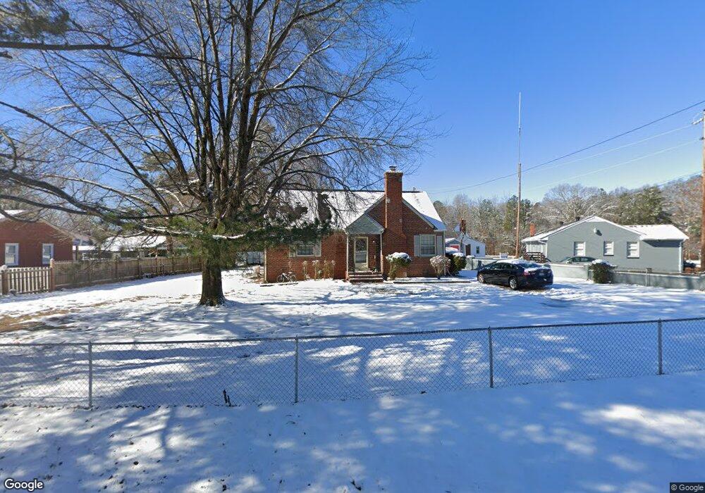
3510 Patsy Ann Dr Richmond, VA 23234
Cottrell Farms NeighborhoodEstimated Value: $261,000 - $296,000
4
Beds
1
Bath
1,599
Sq Ft
$171/Sq Ft
Est. Value
About This Home
This home is located at 3510 Patsy Ann Dr, Richmond, VA 23234 and is currently estimated at $273,133, approximately $170 per square foot. 3510 Patsy Ann Dr is a home located in Richmond City with nearby schools including J.L. Francis Elementary School, Open High School, and Huguenot High School.
Ownership History
Date
Name
Owned For
Owner Type
Purchase Details
Closed on
May 8, 2003
Sold by
Citi Bank N A
Bought by
Banks Derrick
Current Estimated Value
Home Financials for this Owner
Home Financials are based on the most recent Mortgage that was taken out on this home.
Original Mortgage
$71,100
Outstanding Balance
$31,216
Interest Rate
5.93%
Mortgage Type
New Conventional
Estimated Equity
$241,917
Create a Home Valuation Report for This Property
The Home Valuation Report is an in-depth analysis detailing your home's value as well as a comparison with similar homes in the area
Home Values in the Area
Average Home Value in this Area
Purchase History
| Date | Buyer | Sale Price | Title Company |
|---|---|---|---|
| Banks Derrick | $79,000 | -- |
Source: Public Records
Mortgage History
| Date | Status | Borrower | Loan Amount |
|---|---|---|---|
| Open | Banks Derrick | $71,100 |
Source: Public Records
Tax History
| Year | Tax Paid | Tax Assessment Tax Assessment Total Assessment is a certain percentage of the fair market value that is determined by local assessors to be the total taxable value of land and additions on the property. | Land | Improvement |
|---|---|---|---|---|
| 2025 | $2,304 | $207,000 | $52,000 | $155,000 |
| 2024 | $2,304 | $192,000 | $45,000 | $147,000 |
| 2023 | $2,256 | $188,000 | $45,000 | $143,000 |
| 2022 | $2,004 | $167,000 | $39,000 | $128,000 |
| 2020 | $1,644 | $137,000 | $30,000 | $107,000 |
| 2019 | $1,560 | $130,000 | $30,000 | $100,000 |
| 2018 | $1,068 | $89,000 | $25,000 | $64,000 |
| 2017 | $1,044 | $87,000 | $25,000 | $62,000 |
| 2016 | $1,044 | $87,000 | $25,000 | $62,000 |
| 2015 | $1,044 | $87,000 | $25,000 | $62,000 |
| 2014 | $1,044 | $87,000 | $25,000 | $62,000 |
Source: Public Records
Map
Nearby Homes
- 3929 Rebecca Rd
- 3930 Patsy Ann Dr
- 5180 Bemiss Rd
- 3531 Dorset Rd
- 4113 Grantlake Rd
- 4321 Amberly Rd
- 4340 Kenmare Ct
- 4617 Downland Rd
- 4201 Walmsley Blvd
- 4157 Walmsley Blvd
- 4207 Narbeth Ave
- 3350 Woodys Ln
- 4927 Orcutt Ln
- 3817 Bridgeton Rd
- 4616 Ferguson Ln
- 4300 Jalee Dr
- 2401 Clearfield St
- 4340 Jalee Dr
- 4611 Melody Ct
- 3440 Broadwick Rd
- 3518 Patsy Ann Dr
- 3525 Iron Bridge Rd
- 3535 Iron Bridge Rd
- 3514 Columbine Rd
- 3511 Broad Rock Blvd
- 3511 Broad Rock Blvd Unit Room for Rent
- 3511 Broad Rock Blvd Unit The Cottages 7
- 3511 Broad Rock Blvd Unit 5
- 3506 Columbine Rd
- 3601 Iron Bridge Rd
- 3600 Patsy Ann Dr
- 3601 Patsy Ann Dr
- 3513 Columbine Rd
- 3500 Columbine Rd
- 3606 Patsy Ann Dr
- 3620 Iron Bridge Rd
- 3607 Patsy Ann Dr
- 3507 Columbine Rd
- 3501 Columbine Rd
- 3612 Patsy Ann Dr
Your Personal Tour Guide
Ask me questions while you tour the home.