Estimated Value: $404,673 - $900,000
2
Beds
1
Bath
776
Sq Ft
$853/Sq Ft
Est. Value
About This Home
This home is located at 3510 Ridge Rd, Otis, OR 97368 and is currently estimated at $661,918, approximately $852 per square foot. 3510 Ridge Rd is a home located in Tillamook County with nearby schools including Nestucca K-8 School and Nestucca High School.
Ownership History
Date
Name
Owned For
Owner Type
Purchase Details
Closed on
Jan 7, 2022
Sold by
Michael Gross
Bought by
Vanbuskirk Richard and Vanbuskirk Van Buskirk
Current Estimated Value
Purchase Details
Closed on
May 27, 2016
Sold by
Gross Marcia A
Bought by
Gross David R and Gross Marcia A
Purchase Details
Closed on
May 19, 2016
Sold by
Gross David R and Gross Marcia A
Bought by
Gross Andrew and Collins Alison
Purchase Details
Closed on
Nov 18, 2015
Sold by
Parker Kimberly L
Bought by
Llerenas Kimberly L and The Parker Inheritance Trust
Purchase Details
Closed on
Oct 12, 2012
Sold by
Baker Gregory R and Baker V S J
Bought by
Parker Gregory W and Parker Kimberly L
Purchase Details
Closed on
Sep 17, 2012
Sold by
Lautenberg Marilyn A and Lautenberg Jon A
Bought by
Lautenberg Jon A and Lautenberg Georgianne C
Purchase Details
Closed on
Oct 29, 2007
Sold by
Laufenberg Marilyn A and Laufenberg Jon A
Bought by
Laufenberg Marilyn A and Laufenberg Jon A
Create a Home Valuation Report for This Property
The Home Valuation Report is an in-depth analysis detailing your home's value as well as a comparison with similar homes in the area
Home Values in the Area
Average Home Value in this Area
Purchase History
| Date | Buyer | Sale Price | Title Company |
|---|---|---|---|
| Vanbuskirk Richard | $40,000 | Ticor Title | |
| Gross David R | -- | None Available | |
| Gross Andrew | -- | None Available | |
| Llerenas Kimberly L | -- | None Available | |
| Parker Gregory W | -- | None Available | |
| Lautenberg Jon A | -- | None Available | |
| Laufenberg Marilyn A | -- | None Available |
Source: Public Records
Tax History Compared to Growth
Tax History
| Year | Tax Paid | Tax Assessment Tax Assessment Total Assessment is a certain percentage of the fair market value that is determined by local assessors to be the total taxable value of land and additions on the property. | Land | Improvement |
|---|---|---|---|---|
| 2024 | $2,870 | $233,560 | $128,620 | $104,940 |
| 2023 | $2,847 | $226,760 | $124,870 | $101,890 |
| 2022 | $2,751 | $220,160 | $121,230 | $98,930 |
| 2021 | $2,592 | $213,750 | $117,700 | $96,050 |
| 2020 | $2,531 | $207,530 | $114,280 | $93,250 |
| 2019 | $2,420 | $201,490 | $110,960 | $90,530 |
| 2018 | $2,349 | $195,630 | $107,740 | $87,890 |
| 2017 | $2,070 | $189,940 | $104,610 | $85,330 |
| 2016 | $1,903 | $184,410 | $101,570 | $82,840 |
| 2015 | $1,886 | $179,040 | $98,610 | $80,430 |
| 2014 | $1,841 | $173,830 | $95,740 | $78,090 |
| 2013 | -- | $168,770 | $92,950 | $75,820 |
Source: Public Records
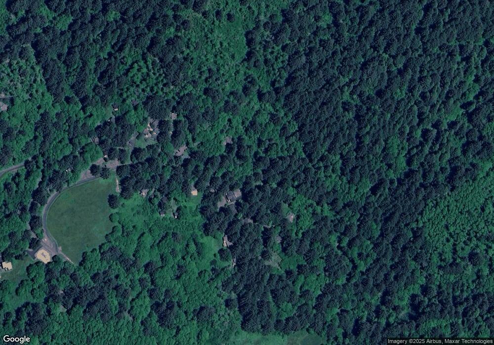
Map
Nearby Homes
- 3045 Elderberry Ln
- 2815 E Slope Rd
- 56100 High Point Rd
- 117 N Young Dr
- TL3200 NE Williams Ct
- 7495 NE Neptune Dr
- 1924 NE 71st St
- 7131 NW Logan Rd
- 7101 NW Logan Rd
- VL NE Neptune Dr
- 6937 NW Logan Rd
- 1906 NE 69th St
- 1850 NE 68th St
- 1851 NE 67th St
- 6604 NE Logan Rd
- TL10400 NE Sal La Sea Dr
- 6538 NE Logan Rd
- 6310 N Highway 101 Unit 11
- TL 12000 NE 64th Dr
- 6421 NE Port Dr