3510 Ridge Rd Westminster, MD 21157
Estimated Value: $489,192 - $549,000
Studio
3
Baths
1,416
Sq Ft
$372/Sq Ft
Est. Value
About This Home
This home is located at 3510 Ridge Rd, Westminster, MD 21157 and is currently estimated at $526,798, approximately $372 per square foot. 3510 Ridge Rd is a home located in Carroll County with nearby schools including Winfield Elementary School, Mount Airy Middle School, and South Carroll High School.
Ownership History
Date
Name
Owned For
Owner Type
Purchase Details
Closed on
Apr 11, 2011
Sold by
Clarke Kenneth C
Bought by
Clarke Kenneth C and Clarke Patricia A
Current Estimated Value
Purchase Details
Closed on
Apr 7, 2011
Sold by
Clarke Kenneth C
Bought by
Clarke Kenneth C and Clarke Patricia A
Purchase Details
Closed on
Mar 24, 2008
Sold by
Clarke Kenneth C
Bought by
Clarke Kenneth C
Purchase Details
Closed on
Mar 7, 2008
Sold by
Clarke Kenneth C
Bought by
Clarke Kenneth C
Create a Home Valuation Report for This Property
The Home Valuation Report is an in-depth analysis detailing your home's value as well as a comparison with similar homes in the area
Purchase History
| Date | Buyer | Sale Price | Title Company |
|---|---|---|---|
| Clarke Kenneth C | -- | -- | |
| Clarke Kenneth C | -- | -- | |
| Clarke Kenneth C | -- | -- | |
| Clarke Kenneth C | -- | -- | |
| Clarke Kenneth C | -- | -- | |
| Clarke Kenneth C | -- | -- |
Source: Public Records
Tax History
| Year | Tax Paid | Tax Assessment Tax Assessment Total Assessment is a certain percentage of the fair market value that is determined by local assessors to be the total taxable value of land and additions on the property. | Land | Improvement |
|---|---|---|---|---|
| 2025 | $4,885 | $440,000 | $0 | $0 |
| 2024 | $4,645 | $409,400 | $200,600 | $208,800 |
| 2023 | $4,445 | $391,600 | $0 | $0 |
| 2022 | $4,246 | $373,800 | $0 | $0 |
| 2021 | $8,286 | $356,000 | $160,600 | $195,400 |
| 2020 | $4,032 | $354,667 | $0 | $0 |
| 2019 | $4,053 | $353,333 | $0 | $0 |
| 2018 | $4,002 | $352,000 | $160,600 | $191,400 |
| 2017 | $3,867 | $339,933 | $0 | $0 |
| 2016 | -- | $327,867 | $0 | $0 |
| 2015 | -- | $315,800 | $0 | $0 |
| 2014 | -- | $315,800 | $0 | $0 |
Source: Public Records
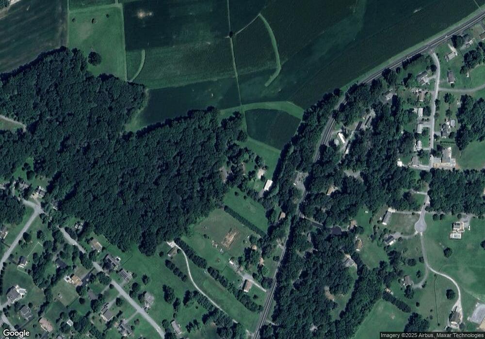
Map
Nearby Homes
- Lot 15 Westview Dr
- 2900 Marston Rd
- 4047 Ridge Rd
- 2514 W Liberty Rd
- 2613 Liberty Rd
- PARCEL 198 Dennings Rd
- 4328 Ridge Rd Unit 13
- 970 Oak Tree Rd
- 15539 Liberty Rd
- 3816 A Jim Smith Ln
- 0 Bear Branch Rd
- 5079 Amantea Way
- 3501 Sams Creek Rd
- 5422 Woodbine Rd
- 5313 Pommel Dr
- 1802 Ridge Rd
- 1810 Stone Chapel Rd
- 15030 New Windsor Rd
- 14695 Oak Orchard Rd
- 2141 Herbert Ave
- 3540 Ridge Rd
- 3590 Ridge Rd
- 3537 Ridge Rd
- 3587 Ridge Rd
- 3513 Ridge Rd
- 3600 Ridge Rd
- 3591 Ridge Rd
- 3593 Ridge Rd
- 3614 Ridge Rd
- 3604 Ridge Rd
- 3606 Ridge Rd
- 3595 Kimberly James Ct
- 3607 Ridge Rd
- 3597 Kimberly James Ct
- 3599 Kimberly James Ct
- 3601 Kimberly James Ct
- 2187 Timothy Dr
- 2185 Timothy Dr
- 2189 Timothy Dr
- 3522 Westview Rd