Estimated Value: $133,000 - $146,130
Studio
1
Bath
788
Sq Ft
$179/Sq Ft
Est. Value
About This Home
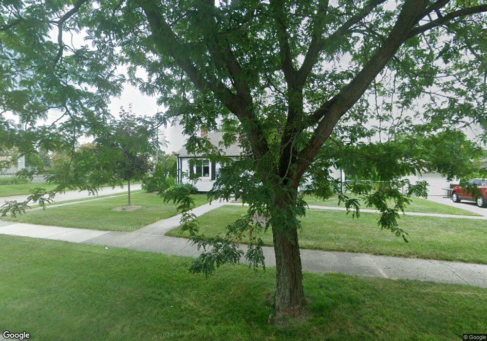
This home is located at 3511 Barry St Unit Bldg-Unit, Wayne, MI 48184 and is currently estimated at $141,033, approximately $178 per square foot. 3511 Barry St Unit Bldg-Unit is a home located in Wayne County with nearby schools including Taft-Galloway Elementary School, Benjamin Franklin Middle School, and Wayne Memorial High School.
Ownership History
Date
Name
Owned For
Owner Type
Purchase Details
Closed on
Dec 16, 2022
Sold by
Burden Michael
Bought by
Burden Michael
Current Estimated Value
Purchase Details
Closed on
Apr 3, 2019
Sold by
Ellenwood Steve and Ellenwood Rezan
Bought by
Burden Michael
Home Financials for this Owner
Home Financials are based on the most recent Mortgage that was taken out on this home.
Original Mortgage
$50,017
Interest Rate
4.3%
Mortgage Type
VA
Purchase Details
Closed on
Jun 11, 2018
Sold by
Fpj Investments Llc
Bought by
Ellenwood Steve and Ellenwood Rezan
Purchase Details
Closed on
Aug 21, 2017
Sold by
Sabree Eric R
Bought by
City Of Wayne
Purchase Details
Closed on
May 19, 2017
Sold by
City Of Wayne
Bought by
Fpj Investments Llc
Create a Home Valuation Report for This Property
The Home Valuation Report is an in-depth analysis detailing your home's value as well as a comparison with similar homes in the area
Home Values in the Area
Average Home Value in this Area
Purchase History
| Date | Buyer | Sale Price | Title Company |
|---|---|---|---|
| Burden Michael | -- | Land Title | |
| Burden Michael | $76,000 | None Available | |
| Ellenwood Steve | $70,000 | Wisionary Title Agency Llc | |
| City Of Wayne | $6,901 | None Available | |
| Fpj Investments Llc | -- | None Available |
Source: Public Records
Mortgage History
| Date | Status | Borrower | Loan Amount |
|---|---|---|---|
| Previous Owner | Burden Michael | $50,017 |
Source: Public Records
Tax History
| Year | Tax Paid | Tax Assessment Tax Assessment Total Assessment is a certain percentage of the fair market value that is determined by local assessors to be the total taxable value of land and additions on the property. | Land | Improvement |
|---|---|---|---|---|
| 2025 | $2,600 | $78,900 | $0 | $0 |
| 2024 | $2,964 | $75,100 | $0 | $0 |
| 2023 | $2,676 | $66,000 | $0 | $0 |
| 2022 | $2,763 | $56,200 | $0 | $0 |
| 2021 | $2,690 | $54,200 | $0 | $0 |
| 2020 | $3,296 | $47,500 | $0 | $0 |
| 2019 | $2,069 | $44,100 | $0 | $0 |
| 2018 | $2,361 | $37,200 | $0 | $0 |
| 2017 | $620 | $36,800 | $0 | $0 |
| 2016 | $2,515 | $35,600 | $0 | $0 |
| 2015 | $3,320 | $33,200 | $0 | $0 |
| 2013 | $3,490 | $35,800 | $0 | $0 |
| 2012 | -- | $37,300 | $19,100 | $18,200 |
Source: Public Records
Map
Nearby Homes
- 0 Swanson St
- 3582 Swanson St
- 32178 Carlisle Pkwy
- 3877 Niagara St
- 4060 Winifred St
- 31505 Allegan Ct
- 31804 Shiawassee St
- 32572 Woodbrook Dr
- 31905 Saginaw Ct
- 4523 Niagara St
- 32004 Otsego St
- 31711 Annapolis St
- 32260 Oscoda Ct
- 4214 Cadillac Ave
- 32046 Cheboygan Ct
- 31829 Bay Ct
- 4815 Mildred St
- 3950 Burton St
- 32515 Annapolis St
- 5157 Niagara St
- 3511 Barry St
- 3535 Barry St
- 3512 S Merriman Rd
- 3547 Barry St
- 3544 S Merriman Rd
- 0 Barry St
- 3564 S Merriman Rd
- 3565 Barry St
- 3524 Barry St
- 3536 Barry St
- 3584 S Merriman Rd
- 3548 Barry St
- 3560 Barry St
- 3587 Barry St
- 3604 S Merriman Rd
- 3572 Barry St
- 3609 Barry St
- 3523 Swanson St
- 3584 Barry St
- 3535 Swanson St
Your Personal Tour Guide
Ask me questions while you tour the home.