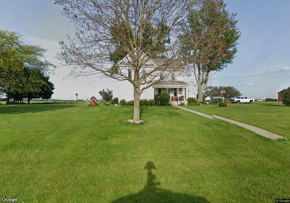
3511 Darr Rd Fremont, OH 43420
Estimated Value: $232,792 - $267,000
3
Beds
2
Baths
1,984
Sq Ft
$126/Sq Ft
Est. Value
About This Home
This home is located at 3511 Darr Rd, Fremont, OH 43420 and is currently estimated at $249,198, approximately $125 per square foot. 3511 Darr Rd is a home with nearby schools including Old Fort Elementary School Bettsville Campus and Old Fort High School.
Ownership History
Date
Name
Owned For
Owner Type
Purchase Details
Closed on
Aug 1, 2001
Sold by
Bannister Bruce E
Bought by
Smith Kevin L and Smith Dawn L
Current Estimated Value
Home Financials for this Owner
Home Financials are based on the most recent Mortgage that was taken out on this home.
Original Mortgage
$94,000
Outstanding Balance
$36,641
Interest Rate
7.14%
Mortgage Type
New Conventional
Estimated Equity
$212,557
Purchase Details
Closed on
Apr 1, 1993
Bought by
Smith Kevin R and Smith Dawn L
Create a Home Valuation Report for This Property
The Home Valuation Report is an in-depth analysis detailing your home's value as well as a comparison with similar homes in the area
Home Values in the Area
Average Home Value in this Area
Purchase History
| Date | Buyer | Sale Price | Title Company |
|---|---|---|---|
| Smith Kevin L | $123,000 | -- | |
| Smith Kevin R | $62,000 | -- |
Source: Public Records
Mortgage History
| Date | Status | Borrower | Loan Amount |
|---|---|---|---|
| Open | Smith Kevin L | $94,000 |
Source: Public Records
Tax History Compared to Growth
Tax History
| Year | Tax Paid | Tax Assessment Tax Assessment Total Assessment is a certain percentage of the fair market value that is determined by local assessors to be the total taxable value of land and additions on the property. | Land | Improvement |
|---|---|---|---|---|
| 2024 | $1,791 | $53,760 | $10,220 | $43,540 |
| 2023 | $1,791 | $43,690 | $8,300 | $35,390 |
| 2022 | $1,746 | $43,690 | $8,300 | $35,390 |
| 2021 | $1,747 | $43,690 | $8,300 | $35,390 |
| 2020 | $1,703 | $41,660 | $8,300 | $33,360 |
| 2019 | $1,650 | $41,660 | $8,300 | $33,360 |
| 2018 | $1,548 | $41,660 | $8,300 | $33,360 |
| 2017 | $1,504 | $39,490 | $8,300 | $31,190 |
| 2016 | $1,408 | $39,490 | $8,300 | $31,190 |
| 2015 | $1,384 | $39,490 | $8,300 | $31,190 |
| 2014 | $1,393 | $39,350 | $8,370 | $30,980 |
| 2013 | $1,396 | $39,350 | $8,370 | $30,980 |
Source: Public Records
Map
Nearby Homes
- 855 Rambo Ln
- 43 Sun Valley Dr Unit 43
- 1970 Morrison Rd
- 350 Conner Dr
- 1818 Finley Dr
- 2231 County Road 23
- 41 Brookview Dr
- 2484 Buckland Ave
- 704 County Road 126
- 1832 Myrtle St
- 1826 Morrison Rd
- 10 Meadowbrook Dr
- 10 Meadowbrook Ln
- 135 Briarwood Cir
- 64 River Run Dr Unit J
- 64 River Run Dr
- 18 Katlyn Dr
- 933 E Cole Rd
- 1719 Buckland Ave
- 1485 Autumn Woods Dr
- 3574 Darr Rd
- 690 County Road 193
- 3355 Darr Rd
- 591 County Road 193
- 493 County Road 193
- 0 County Road 214 Unit 401308
- 3212 Darr Rd
- 1001 County Road 193
- 401 County Road 193
- 1057 County Road 193
- 915 W County Road 201
- 372 County Road 193
- 943 W County Road 201
- 1061 County Road 193
- 1010 W County Road 201
- 3119 Darr Rd
- 904 W County Road 201
- 2401 Sr 53
- 701 County Road 189
- 294 County Road 193