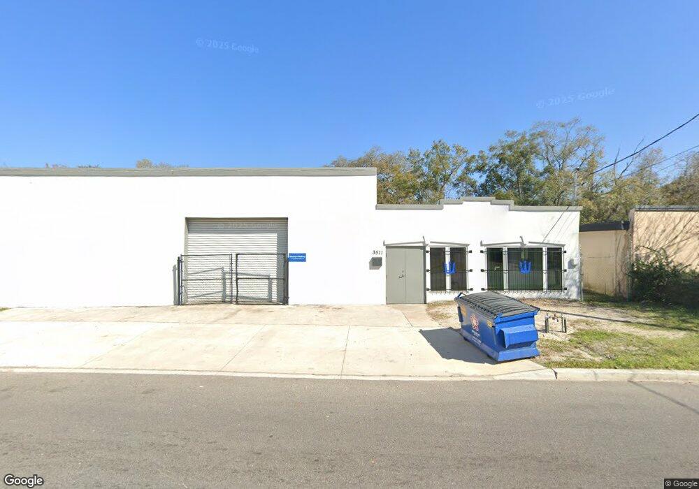
3511 N Liberty St Jacksonville, FL 32206
Brentwood NeighborhoodEstimated Value: $208,176
--
Bed
3
Baths
7,814
Sq Ft
$27/Sq Ft
Est. Value
About This Home
This home is located at 3511 N Liberty St, Jacksonville, FL 32206 and is currently priced at $208,176, approximately $26 per square foot. 3511 N Liberty St is a home located in Duval County with nearby schools including Long Branch Elementary School, John Love Elementary School, and Matthew W. Gilbert Middle School.
Ownership History
Date
Name
Owned For
Owner Type
Purchase Details
Closed on
Apr 24, 2014
Sold by
Robinson Jack H and Robinson Martha I
Bought by
Martijack Llc
Current Estimated Value
Purchase Details
Closed on
Sep 5, 2006
Sold by
3511 Liberty Llc
Bought by
Robinson Jack H and Robinson Martha I
Purchase Details
Closed on
Nov 7, 2003
Sold by
Hansen Roger J and Hansen Sandra J
Bought by
3511 Liberty Llc
Purchase Details
Closed on
May 22, 2002
Sold by
Hansen Roger J
Bought by
Hansen Roger J and Hansen Sandra J
Create a Home Valuation Report for This Property
The Home Valuation Report is an in-depth analysis detailing your home's value as well as a comparison with similar homes in the area
Home Values in the Area
Average Home Value in this Area
Purchase History
| Date | Buyer | Sale Price | Title Company |
|---|---|---|---|
| Martijack Llc | -- | None Available | |
| Robinson Jack H | $125,000 | Legacy Title & Escrow Inc | |
| 3511 Liberty Llc | $37,500 | -- | |
| Hansen Roger J | -- | -- | |
| Hansen Roger J | -- | -- |
Source: Public Records
Tax History Compared to Growth
Tax History
| Year | Tax Paid | Tax Assessment Tax Assessment Total Assessment is a certain percentage of the fair market value that is determined by local assessors to be the total taxable value of land and additions on the property. | Land | Improvement |
|---|---|---|---|---|
| 2025 | $6,978 | $384,700 | $293,453 | $91,247 |
| 2024 | $2,657 | $384,700 | $39,205 | $345,495 |
| 2023 | $2,657 | $0 | $0 | $0 |
| 2022 | $2,657 | $168,700 | $8,240 | $160,460 |
| 2021 | $2,339 | $126,500 | $8,240 | $118,260 |
| 2020 | $2,333 | $126,500 | $10,300 | $116,200 |
| 2019 | $2,366 | $126,500 | $10,300 | $116,200 |
| 2018 | $2,348 | $120,800 | $10,300 | $110,500 |
| 2017 | $2,373 | $120,800 | $10,300 | $110,500 |
| 2016 | $2,343 | $117,000 | $0 | $0 |
| 2015 | $2,382 | $117,000 | $0 | $0 |
| 2014 | $2,455 | $119,600 | $0 | $0 |
Source: Public Records
Map
Nearby Homes
- 0 E 27th St Unit 2089523
- 0 E 27th St Unit 2105816
- 228 E 25th St
- 419 Springfield Ct N
- 230 E 19th St
- 333 E 18th St
- 231 E 18th St
- 225 E 18th St
- 0 E 31st St Unit 2111861
- 2903 Hubbard St
- 59 E 32nd St
- 1168 Claudia Spencer St
- 1125 Claudia Spencer St
- 218 E 18th St
- 3317 N Laura St
- 16 W 32nd St
- 2724 Hubbard St
- 2622 N Market St
- 74 W 27th St
- 3824 Evergreen Ave
- 3526 Westlake Ave
- 3506 Westlake Ave
- 287 E 25th St
- 3540 Westlake Ave
- 3500 Westlake Ave
- 3344 Westlake Ave
- 284 E 25th St
- 279 E 25th St
- 3338 Westlake Ave
- 276 E 25th St
- 281 Ravine St
- 3343 Westlake Ave
- 260 E 27th St
- 268 E 25th St
- 275 Ravine St
- 3341 Westlake Ave
- 269 E 25th St
- 261 E 25th St
- 267 Ravine St
- 260 E 25th St