
$410,900 Pending
- 3 Beds
- 3.5 Baths
- 3,575 Sq Ft
- 1278 McGuffey Ln
- Batavia, OH
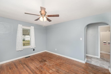
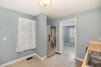
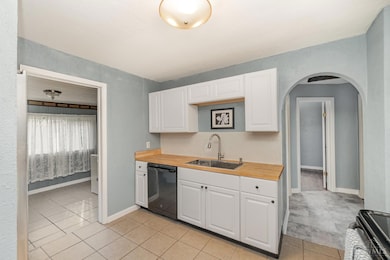
Spacious 3-bedroom, 3.5-bath home featuring a finished basement with wet bar, retractable projector screen and full bath. Gourmet kitchen with dual dishwashers, double ovens, oversized island, and vaulted ceilings. Flexible floorplan includes loft, office, and sewing room. Tons of customized built-in features like hard wired sound system, home security, central vacuum system, water softener,
Connor Elliott HHG Realty Services, LLC