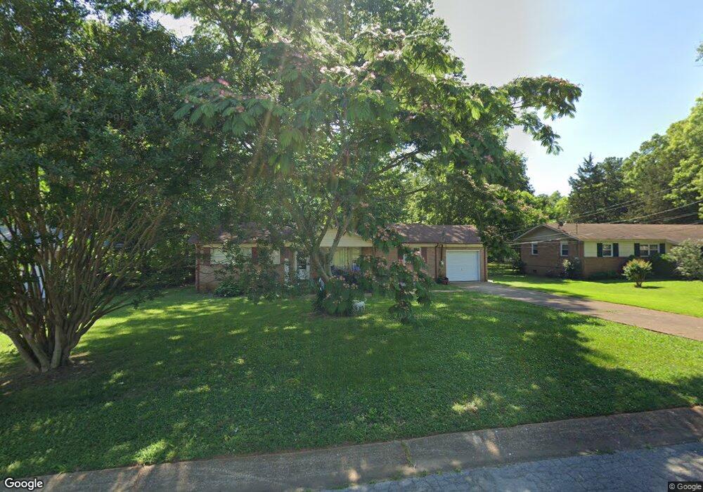
3512 Rosedale Dr NW Huntsville, AL 35810
Estimated Value: $98,000 - $173,000
--
Bed
1
Bath
1,250
Sq Ft
$113/Sq Ft
Est. Value
About This Home
This home is located at 3512 Rosedale Dr NW, Huntsville, AL 35810 and is currently estimated at $141,141, approximately $112 per square foot. 3512 Rosedale Dr NW is a home with nearby schools including James I. Dawson Elementary, Ronald E. McNair Junior High School, and Jemison High School.
Ownership History
Date
Name
Owned For
Owner Type
Purchase Details
Closed on
Nov 23, 2015
Sold by
Volunteers Of America Greater Southeast
Bought by
Roi Property Group 2 Llc
Current Estimated Value
Purchase Details
Closed on
May 7, 2010
Sold by
Pogue Joel Anthony
Bought by
Stafford H Stanley
Home Financials for this Owner
Home Financials are based on the most recent Mortgage that was taken out on this home.
Original Mortgage
$45,000
Interest Rate
4.99%
Mortgage Type
Purchase Money Mortgage
Create a Home Valuation Report for This Property
The Home Valuation Report is an in-depth analysis detailing your home's value as well as a comparison with similar homes in the area
Home Values in the Area
Average Home Value in this Area
Purchase History
| Date | Buyer | Sale Price | Title Company |
|---|---|---|---|
| Roi Property Group 2 Llc | $31,000 | None Available | |
| Stafford H Stanley | -- | -- |
Source: Public Records
Mortgage History
| Date | Status | Borrower | Loan Amount |
|---|---|---|---|
| Previous Owner | Stafford H Stanley | $45,000 |
Source: Public Records
Tax History Compared to Growth
Tax History
| Year | Tax Paid | Tax Assessment Tax Assessment Total Assessment is a certain percentage of the fair market value that is determined by local assessors to be the total taxable value of land and additions on the property. | Land | Improvement |
|---|---|---|---|---|
| 2025 | $1,043 | $17,980 | $4,840 | $13,140 |
| 2024 | $1,043 | $16,820 | $1,620 | $15,200 |
| 2023 | $976 | $16,400 | $1,620 | $14,780 |
| 2022 | $885 | $15,260 | $1,620 | $13,640 |
| 2021 | $786 | $13,560 | $1,620 | $11,940 |
| 2020 | $693 | $11,940 | $1,420 | $10,520 |
| 2019 | $669 | $11,540 | $1,420 | $10,120 |
| 2018 | $652 | $11,240 | $0 | $0 |
| 2017 | $652 | $11,240 | $0 | $0 |
| 2016 | $652 | $11,240 | $0 | $0 |
| 2015 | $652 | $11,240 | $0 | $0 |
| 2014 | $662 | $11,420 | $0 | $0 |
Source: Public Records
Map
Nearby Homes
- 4901 Roebuck Rd NW
- 3510 Avondale Dr NW
- 3421 Angora Dr NW
- 6015 Kimbrell Ln NW
- 6103 Rickwood Dr NW
- 3400 Freda Ln NW
- 6113 Rickwood Dr NW
- 3702 Bragg St NW
- 5009 Rickwood Ct NW
- 3529 Maggie Ave NW
- 6204 Olson St NW
- 3900 Vogel Dr NW
- Lot Stringfield Rd NW
- 48 Acres Stringfield Rd NW
- 3110 S Nevel Cir NW
- 3208 Delia Ln NW
- 3104 Cumbres Cir NW
- 13.46 Acres Mastin Lake Rd
- 3120 Adonna Dr NW
- 3809 Cary Rd NW
- 3514 Rosedale Dr NW
- 3510 Rosedale Dr NW
- 4909 Westwood Dr NW
- 3516 Rosedale Dr NW
- 4910 Roebuck Rd NW
- 3517 Rosedale Dr NW
- 3515 Rosedale Dr NW
- 4907 Westwood Dr NW
- 4908 Roebuck Rd NW
- 4911 Westwood Dr NW
- 3519 Rosedale Dr NW
- 3513 Rosedale Dr NW
- 3518 Rosedale Dr NW
- 4906 Roebuck Rd NW
- 3511 Rosedale Dr NW
- 3521 Rosedale Dr NW
- 4905 Westwood Dr NW
- 4904 Roebuck Rd NW
- 4913 Westwood Dr NW
- 4911 Roebuck Rd NW