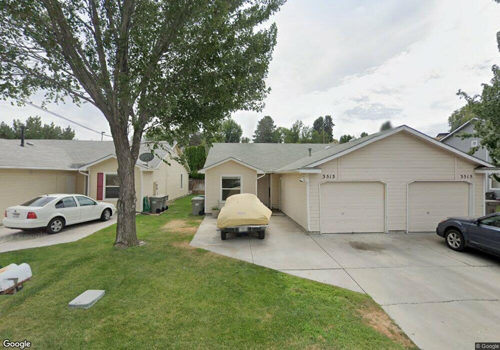
3513 Dill Dr Boise, ID 83705
Vista NeighborhoodEstimated Value: $564,000 - $665,000
6
Beds
4
Baths
2,162
Sq Ft
$280/Sq Ft
Est. Value
About This Home
This home is located at 3513 Dill Dr, Boise, ID 83705 and is currently estimated at $606,258, approximately $280 per square foot. 3513 Dill Dr is a home located in Ada County with nearby schools including Whitney Elementary School, South Junior High School, and Borah Senior High School.
Ownership History
Date
Name
Owned For
Owner Type
Purchase Details
Closed on
Jun 18, 2021
Sold by
Charles Evelyn J and Charles Keith L
Bought by
Charles Evelyn I D and Charles Family Trust
Current Estimated Value
Purchase Details
Closed on
May 13, 2002
Sold by
Glenn Robert R
Bought by
Charles Keith L and Charles Evelyn I D
Home Financials for this Owner
Home Financials are based on the most recent Mortgage that was taken out on this home.
Original Mortgage
$113,500
Outstanding Balance
$47,487
Interest Rate
6.94%
Mortgage Type
Purchase Money Mortgage
Estimated Equity
$558,771
Create a Home Valuation Report for This Property
The Home Valuation Report is an in-depth analysis detailing your home's value as well as a comparison with similar homes in the area
Home Values in the Area
Average Home Value in this Area
Purchase History
| Date | Buyer | Sale Price | Title Company |
|---|---|---|---|
| Charles Evelyn I D | -- | None Available | |
| Charles Keith L | -- | First American |
Source: Public Records
Mortgage History
| Date | Status | Borrower | Loan Amount |
|---|---|---|---|
| Open | Charles Keith L | $113,500 |
Source: Public Records
Tax History
| Year | Tax Paid | Tax Assessment Tax Assessment Total Assessment is a certain percentage of the fair market value that is determined by local assessors to be the total taxable value of land and additions on the property. | Land | Improvement |
|---|---|---|---|---|
| 2025 | $4,963 | $574,400 | -- | -- |
| 2024 | $6,084 | $546,900 | -- | -- |
| 2023 | $6,084 | $637,100 | $0 | $0 |
| 2022 | $4,928 | $568,400 | $0 | $0 |
| 2021 | $4,500 | $411,700 | $0 | $0 |
| 2020 | $3,773 | $317,800 | $0 | $0 |
| 2019 | $4,011 | $295,600 | $0 | $0 |
| 2018 | $3,633 | $239,300 | $0 | $0 |
| 2017 | $3,385 | $211,800 | $0 | $0 |
| 2016 | $3,072 | $187,600 | $0 | $0 |
| 2015 | $2,742 | $174,200 | $0 | $0 |
| 2012 | -- | $127,700 | $0 | $0 |
Source: Public Records
Map
Nearby Homes
- 2401 S Owyhee St Unit 14
- TBD W Grover St
- 3249 W Cherry Ln Unit 23
- 3201 W Cherry Ln
- 2238 S Latah St
- 2107 S Arcadia St
- 2201 S Hervey St
- 2104 S Owyhee St
- 2101 S Pacific St
- 2111 S Pacific St
- 2109 S Pacific St
- 3324 W Catalina Ln
- 2022 S Latah St
- 2120 Cleveland St
- 2824 W Kathryn St
- 1908 S Atlantic St
- 2908 Meadowbrook Dr
- 3111 Palouse St
- 2837 Ona St
- 3962 W Adobe Ct
Your Personal Tour Guide
Ask me questions while you tour the home.