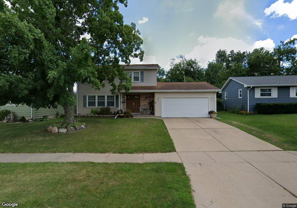
3513 Sheridan Dr SE Cedar Rapids, IA 52403
Estimated Value: $198,000 - $250,000
3
Beds
3
Baths
2,014
Sq Ft
$115/Sq Ft
Est. Value
About This Home
This home is located at 3513 Sheridan Dr SE, Cedar Rapids, IA 52403 and is currently estimated at $231,500, approximately $114 per square foot. 3513 Sheridan Dr SE is a home located in Linn County with nearby schools including Summit Elementary School, Erskine Elementary School, and McKinley STEAM Academy.
Ownership History
Date
Name
Owned For
Owner Type
Purchase Details
Closed on
Jun 5, 2008
Sold by
Elossais Mikhael G and Elossais Deborah K
Bought by
Abou Raad Elie E Abou and Abou Raad Norma N
Current Estimated Value
Home Financials for this Owner
Home Financials are based on the most recent Mortgage that was taken out on this home.
Original Mortgage
$80,000
Interest Rate
6.01%
Mortgage Type
Purchase Money Mortgage
Purchase Details
Closed on
Nov 15, 2004
Sold by
Allick David E and Allick Vinca L
Bought by
Elossais Mikhael G and Elossais Deborah K
Home Financials for this Owner
Home Financials are based on the most recent Mortgage that was taken out on this home.
Original Mortgage
$101,000
Interest Rate
5.8%
Mortgage Type
Unknown
Create a Home Valuation Report for This Property
The Home Valuation Report is an in-depth analysis detailing your home's value as well as a comparison with similar homes in the area
Home Values in the Area
Average Home Value in this Area
Purchase History
| Date | Buyer | Sale Price | Title Company |
|---|---|---|---|
| Abou Raad Elie E Abou | $157,500 | None Available | |
| Elossais Mikhael G | $119,500 | -- |
Source: Public Records
Mortgage History
| Date | Status | Borrower | Loan Amount |
|---|---|---|---|
| Closed | Abou Raad Elie E Abou | $80,000 | |
| Previous Owner | Elossais Mikhael G | $101,000 |
Source: Public Records
Tax History Compared to Growth
Tax History
| Year | Tax Paid | Tax Assessment Tax Assessment Total Assessment is a certain percentage of the fair market value that is determined by local assessors to be the total taxable value of land and additions on the property. | Land | Improvement |
|---|---|---|---|---|
| 2025 | $3,852 | $231,500 | $30,900 | $200,600 |
| 2024 | $4,008 | $235,900 | $30,900 | $205,000 |
| 2023 | $4,008 | $228,100 | $28,100 | $200,000 |
| 2022 | $3,932 | $198,900 | $25,300 | $173,600 |
| 2021 | $4,004 | $198,800 | $25,300 | $173,500 |
| 2020 | $4,004 | $190,100 | $19,700 | $170,400 |
| 2019 | $3,724 | $181,300 | $19,700 | $161,600 |
| 2018 | $3,432 | $181,300 | $19,700 | $161,600 |
| 2017 | $3,493 | $167,400 | $19,700 | $147,700 |
| 2016 | $3,493 | $164,300 | $19,700 | $144,600 |
| 2015 | $3,575 | $168,016 | $19,691 | $148,325 |
| 2014 | $3,390 | $168,016 | $19,691 | $148,325 |
| 2013 | $3,312 | $168,016 | $19,691 | $148,325 |
Source: Public Records
Map
Nearby Homes
- 1013 36th St SE
- 1331 34th St SE
- 1111 Brockman Dr SE
- 1401 Harold Dr SE
- 1241 38th St SE
- 3600 Bel Air Dr SE
- 3630 Mt Vernon Rd SE Unit 6
- 3510 Pioneer Ave SE
- 3535 Pioneer Ave SE
- 654 34th St SE
- 1521 Oak Ridge Ln SE Unit 3
- 651 34th St SE
- 2861 Seely Ave SE
- 3223 Mound Ave SE
- 2700 Mount Vernon Rd SE
- 1135 Crestview Dr SE
- 707 40th St SE
- 1117 Crestview Dr SE
- 639 32nd St SE
- 1158 28th St SE
- 3517 Sheridan Dr SE
- 3507 Sheridan Dr SE
- 1203 36th St SE
- 3501 Sheridan Dr SE
- 3512 Sheridan Dr SE
- 1209 36th St SE
- 3516 Sheridan Dr SE
- 3500 Sheridan Dr SE
- 3423 Sheridan Dr SE
- 1208 34th St SE
- 1217 36th St SE
- 1118 36th St SE
- 1112 36th St SE
- 1023 36th St SE
- 1202 36th St SE
- 3420 Sheridan Dr SE
- 3415 Sheridan Dr SE
- 1116 34th St SE
- 1106 36th St SE
- 1200 34th St SE