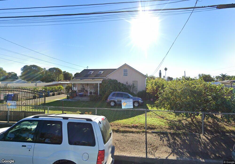
3516 Orange Dr Oxnard, CA 93036
Nyeland Acres NeighborhoodEstimated Value: $549,000 - $954,549
3
Beds
1
Bath
888
Sq Ft
$784/Sq Ft
Est. Value
About This Home
This home is located at 3516 Orange Dr, Oxnard, CA 93036 and is currently estimated at $696,137, approximately $783 per square foot. 3516 Orange Dr is a home located in Ventura County with nearby schools including Rio Real Elementary School, Rio Del Valle Middle School, and Rio Mesa High School.
Ownership History
Date
Name
Owned For
Owner Type
Purchase Details
Closed on
May 4, 2001
Sold by
Lucio Carmen D and Delatorre Adalberto
Bought by
Bazaldua Gerard R and Bazaldua Armando R
Current Estimated Value
Home Financials for this Owner
Home Financials are based on the most recent Mortgage that was taken out on this home.
Original Mortgage
$224,250
Interest Rate
7.24%
Purchase Details
Closed on
Nov 1, 1998
Sold by
Micaela Dela Torre
Bought by
Delatorre Micaela M
Create a Home Valuation Report for This Property
The Home Valuation Report is an in-depth analysis detailing your home's value as well as a comparison with similar homes in the area
Home Values in the Area
Average Home Value in this Area
Purchase History
| Date | Buyer | Sale Price | Title Company |
|---|---|---|---|
| Bazaldua Gerard R | $345,000 | First American Title Ins Co | |
| Delatorre Micaela M | -- | -- |
Source: Public Records
Mortgage History
| Date | Status | Borrower | Loan Amount |
|---|---|---|---|
| Previous Owner | Bazaldua Gerard R | $224,250 |
Source: Public Records
Tax History
| Year | Tax Paid | Tax Assessment Tax Assessment Total Assessment is a certain percentage of the fair market value that is determined by local assessors to be the total taxable value of land and additions on the property. | Land | Improvement |
|---|---|---|---|---|
| 2025 | $6,459 | $509,640 | $443,178 | $66,462 |
| 2024 | $6,459 | $499,648 | $434,489 | $65,159 |
| 2023 | $6,344 | $489,851 | $425,969 | $63,882 |
| 2022 | $6,254 | $480,247 | $417,617 | $62,630 |
| 2021 | $6,193 | $470,831 | $409,429 | $61,402 |
| 2020 | $6,120 | $466,005 | $405,232 | $60,773 |
| 2019 | $5,962 | $456,869 | $397,287 | $59,582 |
| 2018 | $5,775 | $447,912 | $389,498 | $58,414 |
| 2017 | $5,563 | $439,130 | $381,861 | $57,269 |
| 2016 | $5,392 | $430,521 | $374,374 | $56,147 |
| 2015 | $5,175 | $424,055 | $368,751 | $55,304 |
| 2014 | $4,996 | $415,751 | $361,529 | $54,222 |
Source: Public Records
Map
Nearby Homes
- 902 Paseo Brisas Lindas
- 4388 Central Ave Unit 63
- 4388 Central Ave Unit 133
- 4388 Central Ave Unit 87
- 1930 Ribera Dr
- 1902 Ribera Dr Unit 86
- 0 Alvarado St
- 2701 Alvarado St
- 2005 San Jose St
- 1250 Crestview Ave
- 5848 Santa Clara Ave
- 1069 Corte Barroso
- 211 Featherstone St
- 1009 Corte Barroso
- 565 Rosalinda Dr
- 5624 Beardsley Rd
- 931 Corte Augusta Unit 38
- 740 Edward Scholle Dr
- 914 Corte Augusta
- 1009 Del Tio Ct
Your Personal Tour Guide
Ask me questions while you tour the home.