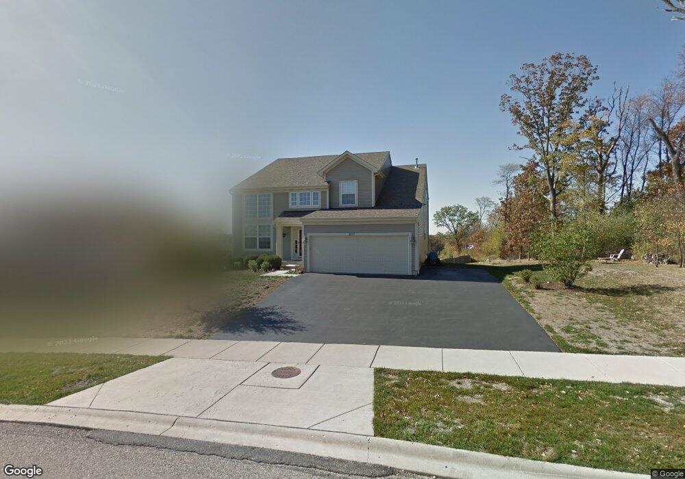
3517 Aubrey Dr Johnsburg, IL 60051
Estimated Value: $474,657 - $573,000
--
Bed
3
Baths
2,995
Sq Ft
$169/Sq Ft
Est. Value
About This Home
This home is located at 3517 Aubrey Dr, Johnsburg, IL 60051 and is currently estimated at $506,914, approximately $169 per square foot. 3517 Aubrey Dr is a home located in McHenry County with nearby schools including Ringwood School Primary Center, Johnsburg Elementary School, and U S Grant Elementary School.
Ownership History
Date
Name
Owned For
Owner Type
Purchase Details
Closed on
Oct 25, 2020
Sold by
Kupsche Randall B and Kupsche Stacey L
Bought by
Randall B Kupsche Revocable Living Trust and Stacey L Kupsche Revocable Living Trust
Current Estimated Value
Purchase Details
Closed on
Oct 21, 2019
Sold by
Kupsche Randall B and Kupsche Stacey L
Bought by
Kupsche Randall B
Purchase Details
Closed on
Jan 11, 2008
Sold by
Remington Grove Llc
Bought by
Kupsche Randall B
Home Financials for this Owner
Home Financials are based on the most recent Mortgage that was taken out on this home.
Original Mortgage
$207,000
Outstanding Balance
$130,458
Interest Rate
6.13%
Mortgage Type
Unknown
Estimated Equity
$376,456
Create a Home Valuation Report for This Property
The Home Valuation Report is an in-depth analysis detailing your home's value as well as a comparison with similar homes in the area
Home Values in the Area
Average Home Value in this Area
Purchase History
| Date | Buyer | Sale Price | Title Company |
|---|---|---|---|
| Randall B Kupsche Revocable Living Trust | -- | None Available | |
| Kupsche Randall B | -- | None Available | |
| Kupsche Randall B | $340,160 | Ct&T |
Source: Public Records
Mortgage History
| Date | Status | Borrower | Loan Amount |
|---|---|---|---|
| Open | Kupsche Randall B | $207,000 |
Source: Public Records
Tax History Compared to Growth
Tax History
| Year | Tax Paid | Tax Assessment Tax Assessment Total Assessment is a certain percentage of the fair market value that is determined by local assessors to be the total taxable value of land and additions on the property. | Land | Improvement |
|---|---|---|---|---|
| 2024 | $243 | $132,158 | $19,009 | $113,149 |
| 2023 | $7,923 | $118,400 | $17,030 | $101,370 |
| 2022 | $7,870 | $109,843 | $15,799 | $94,044 |
| 2021 | $7,478 | $102,294 | $14,713 | $87,581 |
| 2020 | $7,236 | $98,030 | $14,100 | $83,930 |
| 2019 | $7,104 | $93,087 | $13,389 | $79,698 |
| 2018 | $755,308 | $96,547 | $12,782 | $83,765 |
| 2017 | $7,325 | $90,612 | $11,996 | $78,616 |
| 2016 | $7,702 | $84,684 | $11,211 | $73,473 |
| 2013 | -- | $83,287 | $17,915 | $65,372 |
Source: Public Records
Map
Nearby Homes
- 3902 Monica Ln
- 3904 Monica Ln
- 3912 Monica Ln
- 3906 Monica Ln
- 3908 Monica Ln
- 3910 Monica Ln
- 3919 Monica Ln Unit 5
- 3917 Monica Ln Unit 4
- 3915 Monica Ln Unit 3
- 3913 Monica Ln Unit 2
- 3603 N Richmond Rd
- 3702 N Richmond Rd
- Lot 12, Block 6 Buchanan Rd
- 0 State Route 31
- 3811 Riverside Dr
- 2904 Payton Crossing
- 4002 Riverside Dr
- 4010 Riverside Dr
- 4006 Riverside Dr
- 2801 N Orchard Dr