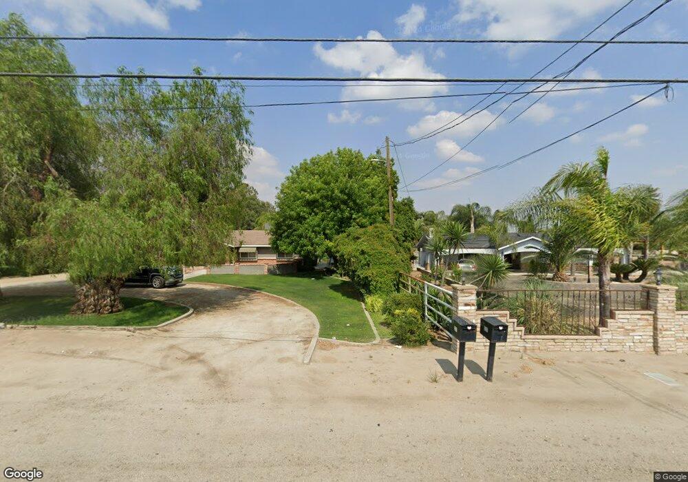
3517 Weedpatch Hwy Bakersfield, CA 93307
Estimated Value: $484,402 - $602,000
3
Beds
2
Baths
1,350
Sq Ft
$392/Sq Ft
Est. Value
About This Home
This home is located at 3517 Weedpatch Hwy, Bakersfield, CA 93307 and is currently estimated at $528,851, approximately $391 per square foot. 3517 Weedpatch Hwy is a home located in Kern County with nearby schools including Shirley Lane Elementary School, Virginia Avenue Elementary School, and Fairfax Middle School.
Ownership History
Date
Name
Owned For
Owner Type
Purchase Details
Closed on
Feb 9, 2010
Sold by
Wilkerson Larry and Wilkerson Christine
Bought by
Guerrero Jesus J and Madrid Maria S
Current Estimated Value
Home Financials for this Owner
Home Financials are based on the most recent Mortgage that was taken out on this home.
Original Mortgage
$275,488
Interest Rate
4.51%
Create a Home Valuation Report for This Property
The Home Valuation Report is an in-depth analysis detailing your home's value as well as a comparison with similar homes in the area
Purchase History
| Date | Buyer | Sale Price | Title Company |
|---|---|---|---|
| Guerrero Jesus J | $285,000 | Stewart Title Of California |
Source: Public Records
Mortgage History
| Date | Status | Borrower | Loan Amount |
|---|---|---|---|
| Previous Owner | Guerrero Jesus J | $275,488 |
Source: Public Records
Tax History
| Year | Tax Paid | Tax Assessment Tax Assessment Total Assessment is a certain percentage of the fair market value that is determined by local assessors to be the total taxable value of land and additions on the property. | Land | Improvement |
|---|---|---|---|---|
| 2025 | $5,165 | $365,123 | $128,110 | $237,013 |
| 2024 | $4,998 | $357,965 | $125,599 | $232,366 |
| 2023 | $4,998 | $350,947 | $123,137 | $227,810 |
| 2022 | $4,859 | $344,067 | $120,723 | $223,344 |
| 2021 | $4,727 | $337,321 | $118,356 | $218,965 |
| 2020 | $4,578 | $333,863 | $117,143 | $216,720 |
| 2019 | $4,496 | $333,863 | $117,143 | $216,720 |
| 2018 | $4,473 | $320,901 | $112,596 | $208,305 |
| 2017 | $4,418 | $314,610 | $110,389 | $204,221 |
| 2016 | $4,057 | $308,442 | $108,225 | $200,217 |
| 2015 | $4,043 | $303,810 | $106,600 | $197,210 |
| 2014 | $3,961 | $297,859 | $104,512 | $193,347 |
Source: Public Records
Map
Nearby Homes
- 8447 Muller Rd
- 8116 Halleluiah St
- 2351 Emmy Dr
- 8802 Almata Ave
- 8216 Morehouse Ave Unit 2035A
- 5600 Tamarack St
- 8232 Tydeman Dr
- 8305 Tydeman Dr
- 8310 Tydeman Dr Unit 314a2
- 8317 Tydeman Dr
- 8322 Tydeman Dr
- 8215 Tydeman Dr Unit 336a2
- 8329 Tydeman Dr
- 8310 Tydeman Dr
- 8203 Tydeman Dr Unit 338a2
- 8311 Tydeman Dr
- 8304 Tydeman Dr
- 8323 Tydeman Dr
- 8106 Tydeman Dr Unit 305a2
- 8232 Tydeman Dr Unit 312a2
- 3537 Weedpatch Hwy
- 3333 Weedpatch Hwy
- 3423 Weedpatch Hwy
- 3349 Weedpatch Hwy
- 3301 Weedpatch Hwy
- 8349 Muller Rd
- 8224 Muller Rd
- 3241 Weedpatch Hwy
- 8004 Doney St
- 8000 Doney St
- 7916 Doney St
- 7912 Doney St
- 7908 Doney St
- 8417 Muller Rd
- 3842 Weedpatch Hwy
- 7904 Doney St
- 7904 Doney St
- 7908 Doney
- 3115 Weedpatch Hwy
- 8007 Doney St
Your Personal Tour Guide
Ask me questions while you tour the home.