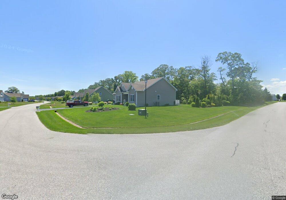
35171 Helmsman Way Millsboro, DE 19966
Estimated Value: $469,037 - $515,000
3
Beds
2
Baths
2,304
Sq Ft
$214/Sq Ft
Est. Value
About This Home
This home is located at 35171 Helmsman Way, Millsboro, DE 19966 and is currently estimated at $494,009, approximately $214 per square foot. 35171 Helmsman Way is a home located in Sussex County with nearby schools including Long Neck Elementary School, Millsboro Middle School, and Sussex Central High School.
Ownership History
Date
Name
Owned For
Owner Type
Purchase Details
Closed on
Jul 2, 2014
Bought by
Hunt Patrick A and Hunt Carolyn F
Current Estimated Value
Home Financials for this Owner
Home Financials are based on the most recent Mortgage that was taken out on this home.
Original Mortgage
$176,123
Outstanding Balance
$134,053
Interest Rate
4.14%
Mortgage Type
Unknown
Estimated Equity
$359,957
Purchase Details
Closed on
Mar 18, 2014
Bought by
36 Builders Inc
Purchase Details
Closed on
Mar 6, 2014
Bought by
36 Builders Inc
Create a Home Valuation Report for This Property
The Home Valuation Report is an in-depth analysis detailing your home's value as well as a comparison with similar homes in the area
Home Values in the Area
Average Home Value in this Area
Purchase History
| Date | Buyer | Sale Price | Title Company |
|---|---|---|---|
| Hunt Patrick A | $336,110 | -- | |
| 36 Builders Inc | $80,000 | -- | |
| 36 Builders Inc | $80,000 | -- |
Source: Public Records
Mortgage History
| Date | Status | Borrower | Loan Amount |
|---|---|---|---|
| Open | Hunt Patrick A | $176,123 |
Source: Public Records
Tax History Compared to Growth
Tax History
| Year | Tax Paid | Tax Assessment Tax Assessment Total Assessment is a certain percentage of the fair market value that is determined by local assessors to be the total taxable value of land and additions on the property. | Land | Improvement |
|---|---|---|---|---|
| 2025 | $638 | $27,750 | $5,000 | $22,750 |
| 2024 | $755 | $27,750 | $5,000 | $22,750 |
| 2023 | $754 | $27,750 | $5,000 | $22,750 |
| 2022 | $728 | $27,750 | $5,000 | $22,750 |
| 2021 | $769 | $27,750 | $5,000 | $22,750 |
| 2020 | $717 | $27,750 | $5,000 | $22,750 |
| 2019 | $712 | $27,750 | $5,000 | $22,750 |
| 2018 | $722 | $29,050 | $0 | $0 |
| 2017 | $1,058 | $27,750 | $0 | $0 |
| 2016 | $932 | $27,750 | $0 | $0 |
| 2015 | $961 | $27,750 | $0 | $0 |
| 2014 | $171 | $5,000 | $0 | $0 |
Source: Public Records
Map
Nearby Homes
- 24875 Rivers Edge Rd
- 24872 Rivers Edge Rd
- 24921 Rivers Edge Rd
- 24119 Hammerhead Dr
- 24770 Rivers Edge Rd
- 24166 Hammerhead Dr
- 24765 Glendale Ln
- 21899 Surf Board Blvd
- 23360 Greenbank Dr
- Stonefield Plan at Riverwood
- Coronado Plan at Riverwood
- Southport Plan at Riverwood
- Astoria Plan at Riverwood
- Montauk Plan at Riverwood
- Saybrook Plan at Riverwood
- Camden Plan at Riverwood
- Monterey Plan at Riverwood
- Chatham Plan at Riverwood
- 25277 Leland Ave
- 24877 Stevenson Rd
- 35167 Helmsman Way
- 35176 Helmsman Way
- 35211 Helmsman Way
- 35178 Helmsman Way
- 24840 Rivers Edge Rd
- 35153 Helmsman Way
- 35162 Helmsman Way
- 35212 Helmsman Way
- 24838 Rivers Edge Rd
- 35215 Helmsman Way
- 24844 Rivers Edge Rd
- 31144 Riverwood Rd
- 31266 Seabrook Dr
- 24836 Rivers Edge Rd
- 31160 Riverwood Rd
- 24834 Rivers Edge Rd
- 24846 Rivers Edge Rd
- 35146 Helmsman Way
- 35139 Helmsman Way
- 35224 Helmsman Way