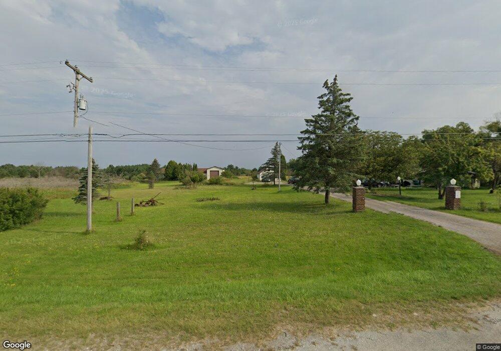
3518 E Us Highway 10 Custer, MI 49405
Estimated Value: $256,000 - $767,000
Studio
--
Bath
5,220
Sq Ft
$107/Sq Ft
Est. Value
About This Home
This home is located at 3518 E Us Highway 10, Custer, MI 49405 and is currently estimated at $558,614, approximately $107 per square foot. 3518 E Us Highway 10 is a home located in Mason County with nearby schools including Mason County Eastern Elementary School and Mason County Eastern Middle/High School.
Ownership History
Date
Name
Owned For
Owner Type
Purchase Details
Closed on
Nov 8, 2012
Sold by
Kistler Daniel M and Kistler Amarylis J
Bought by
Kistler Daniel M and Kistler Amarylis J
Current Estimated Value
Purchase Details
Closed on
Aug 3, 2006
Sold by
Anthony Mary E and Harmon Mary E
Bought by
Harmon Eugene L
Purchase Details
Closed on
May 2, 2006
Sold by
Shoup Douglas L and Shoup Kathy M
Bought by
Harmon Eugene L and Harmon Mary E
Home Financials for this Owner
Home Financials are based on the most recent Mortgage that was taken out on this home.
Original Mortgage
$325,000
Interest Rate
6.58%
Mortgage Type
Future Advance Clause Open End Mortgage
Purchase Details
Closed on
Apr 20, 2006
Sold by
Harmon Mary E
Bought by
Harmon Eugene L
Home Financials for this Owner
Home Financials are based on the most recent Mortgage that was taken out on this home.
Original Mortgage
$325,000
Interest Rate
6.58%
Mortgage Type
Future Advance Clause Open End Mortgage
Purchase Details
Closed on
Jul 1, 1987
Create a Home Valuation Report for This Property
The Home Valuation Report is an in-depth analysis detailing your home's value as well as a comparison with similar homes in the area
Purchase History
| Date | Buyer | Sale Price | Title Company |
|---|---|---|---|
| Kistler Daniel M | -- | None Available | |
| Harmon Eugene L | -- | None Available | |
| Harmon Eugene L | $24,000 | None Available | |
| Harmon Eugene L | -- | None Available | |
| -- | $24,000 | -- |
Source: Public Records
Mortgage History
| Date | Status | Borrower | Loan Amount |
|---|---|---|---|
| Previous Owner | Harmon Eugene L | $325,000 |
Source: Public Records
Tax History
| Year | Tax Paid | Tax Assessment Tax Assessment Total Assessment is a certain percentage of the fair market value that is determined by local assessors to be the total taxable value of land and additions on the property. | Land | Improvement |
|---|---|---|---|---|
| 2025 | $6,013 | $334,500 | $334,500 | $0 |
| 2024 | -- | $341,800 | $341,800 | $0 |
| 2023 | -- | $265,100 | $265,100 | $0 |
| 2022 | -- | $239,500 | $0 | $0 |
| 2021 | $801 | $236,700 | $0 | $0 |
| 2020 | $801 | $230,100 | $0 | $0 |
Source: Public Records
Map
Nearby Homes
- 120 N Main St
- N Stephens Rd
- 6270 S Woods Trail
- Lot 108 Stella St
- 1742 N Custer Rd
- 2577 S Custer Rd
- 2866 N Reek Rd
- 0 N Bean Rd
- 305 E Johnson Rd
- 17 Taylors Court & Evans Way
- 1892 Highway 10 NW
- 0 S Columbia Ave
- 2600 S Scottville Rd
- 203 Crowley St
- 301 Crowley St
- 9554 Highway 10 NW
- 1754 Maggie St
- 201 W 1st St
- 5957 U S 31
- 855 N Us Highway 31
- 3389 E Us Highway 10
- 3673 E Us Highway 10
- 3760 E Us Highway 10
- 3760 E Us Highway 10
- 3275 E Us Highway 10
- 3250 U S 10
- 34 S Stephens Rd
- 3222 E Johnson Rd
- 0 E Johnson Rd
- 3138 E Us Highway 10
- 3138 E Us Highway 10
- 184 S Stephens Rd
- 3502 E Johnson Rd
- 3062 E Us Highway 10
- 3062 E Us Highway 10
- 3624 E 1st St
- 65 S Reek Rd
- 3680 E 1st St
- 3394 E Johnson Rd
- 0 N Reek Rd Unit 67011019295
Your Personal Tour Guide
Ask me questions while you tour the home.