Estimated Value: $277,000 - $320,697
3
Beds
3
Baths
1,678
Sq Ft
$181/Sq Ft
Est. Value
About This Home
This home is located at 3519 Bakers Ln, Lucas, OH 44843 and is currently estimated at $304,424, approximately $181 per square foot. 3519 Bakers Ln is a home located in Richland County.
Ownership History
Date
Name
Owned For
Owner Type
Purchase Details
Closed on
Oct 12, 2023
Sold by
Herder William A
Bought by
Herder Susan K
Current Estimated Value
Home Financials for this Owner
Home Financials are based on the most recent Mortgage that was taken out on this home.
Original Mortgage
$157,000
Outstanding Balance
$152,241
Interest Rate
4.99%
Mortgage Type
New Conventional
Estimated Equity
$152,183
Purchase Details
Closed on
Sep 16, 2003
Sold by
Herder William A and Herder Susan K
Bought by
The Mentor Foundation
Create a Home Valuation Report for This Property
The Home Valuation Report is an in-depth analysis detailing your home's value as well as a comparison with similar homes in the area
Home Values in the Area
Average Home Value in this Area
Purchase History
| Date | Buyer | Sale Price | Title Company |
|---|---|---|---|
| Herder Susan K | -- | Chicago Title | |
| The Mentor Foundation | -- | -- |
Source: Public Records
Mortgage History
| Date | Status | Borrower | Loan Amount |
|---|---|---|---|
| Open | Herder Susan K | $157,000 |
Source: Public Records
Tax History Compared to Growth
Tax History
| Year | Tax Paid | Tax Assessment Tax Assessment Total Assessment is a certain percentage of the fair market value that is determined by local assessors to be the total taxable value of land and additions on the property. | Land | Improvement |
|---|---|---|---|---|
| 2024 | $3,630 | $81,560 | $12,170 | $69,390 |
| 2023 | $3,630 | $81,560 | $12,170 | $69,390 |
| 2022 | $3,197 | $58,200 | $9,750 | $48,450 |
| 2021 | $3,196 | $58,200 | $9,750 | $48,450 |
| 2020 | $3,220 | $58,200 | $9,750 | $48,450 |
| 2019 | $2,922 | $49,280 | $8,200 | $41,080 |
| 2018 | $2,897 | $49,280 | $8,200 | $41,080 |
| 2017 | $2,840 | $49,280 | $8,200 | $41,080 |
| 2016 | $2,838 | $48,040 | $7,790 | $40,250 |
| 2015 | $2,838 | $48,040 | $7,790 | $40,250 |
| 2014 | $2,782 | $48,040 | $7,790 | $40,250 |
| 2012 | $1,341 | $50,570 | $8,200 | $42,370 |
Source: Public Records
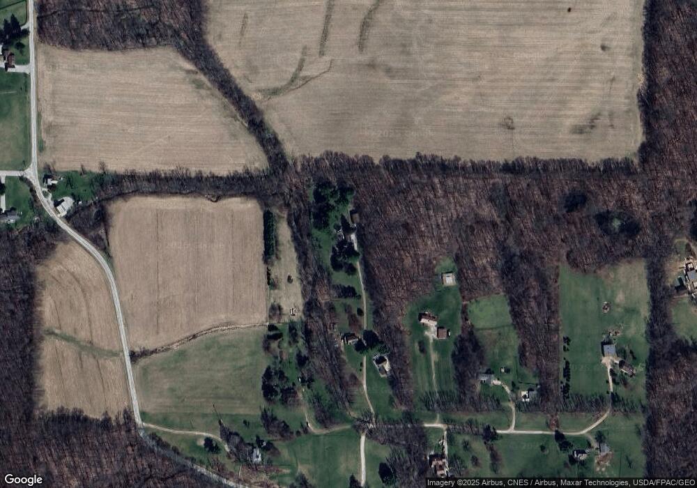
Map
Nearby Homes
- 0 Mount Zion Rd Unit 9069748
- 2750 Lutz Ave
- 0 Peterson Rd
- 19 Maine St
- 775 Touby Ln
- 1183 County Road 30a
- 945 Pike Dr
- 0 Applegate Rd
- 1048 Township Road 2156
- 0 McBride Road Parcel # 1 Unit 9066028
- 27 E Main St
- 1106 County Road 30a
- 3290 Shad Dr W
- 0 Satinwood Dr
- 2364 Satinwood Dr
- 174 W Main St
- 2495 Emma Ln
- 2428 Applegate Rd
- 0 Moffett Rd
- 2172 Satinwood Dr
- 3517 Bakers Ln
- 3551 Harlan Rd
- 3529 Bakers Ln
- 3489 Bakers Ln
- 3571 Bakers Ln
- 1055 Harlan Rd
- 3554 Bakers Ln
- 715 Harlan Rd
- 3621 Bakers Ln
- 3422 Crimson Rd
- 3624 Bakers Ln
- 1130 Harlan Rd
- 0 Harlan Rd
- 3402 Crimson Rd
- 3383 Crimson Rd
- 3370 Crimson Rd
- 2198 Twp Rd 1265
- 3366 Crimson Rd
- 670 Harlan Rd
- 698 Harlan Rd