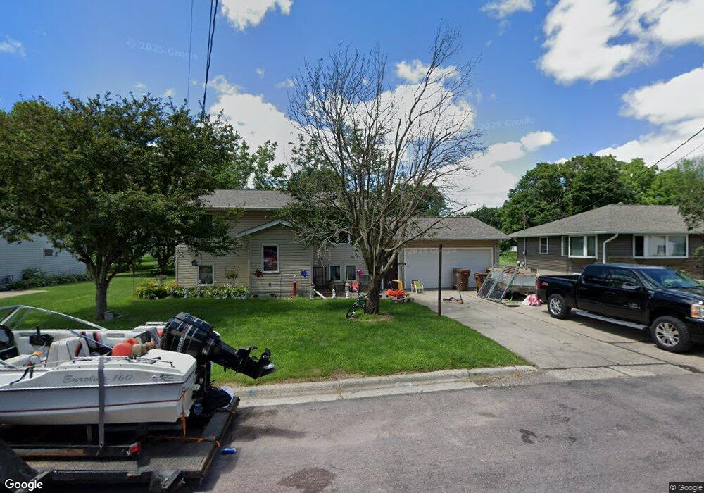
352 Balsam Ave S New Richland, MN 56072
Estimated Value: $200,000 - $248,000
4
Beds
2
Baths
2,148
Sq Ft
$103/Sq Ft
Est. Value
About This Home
This home is located at 352 Balsam Ave S, New Richland, MN 56072 and is currently estimated at $221,927, approximately $103 per square foot. 352 Balsam Ave S is a home located in Waseca County with nearby schools including NRHEG Elementary School and NRHEG Secondary School.
Ownership History
Date
Name
Owned For
Owner Type
Purchase Details
Closed on
Aug 18, 2021
Sold by
Mullenbach Brandon and Mullenbach Mollie
Bought by
Romero Omar and Romero Lisa
Current Estimated Value
Purchase Details
Closed on
Jun 11, 2009
Sold by
Battenfeld Robert W and Battenfeld Carol R
Bought by
Flor Mollie M
Home Financials for this Owner
Home Financials are based on the most recent Mortgage that was taken out on this home.
Original Mortgage
$126,377
Interest Rate
4.92%
Mortgage Type
USDA
Create a Home Valuation Report for This Property
The Home Valuation Report is an in-depth analysis detailing your home's value as well as a comparison with similar homes in the area
Home Values in the Area
Average Home Value in this Area
Purchase History
| Date | Buyer | Sale Price | Title Company |
|---|---|---|---|
| Romero Omar | $199,000 | None Available | |
| Flor Mollie M | -- | Edina Realty Title | |
| Romero Omar Omar | $199,000 | -- |
Source: Public Records
Mortgage History
| Date | Status | Borrower | Loan Amount |
|---|---|---|---|
| Previous Owner | Flor Mollie M | $126,377 |
Source: Public Records
Tax History Compared to Growth
Tax History
| Year | Tax Paid | Tax Assessment Tax Assessment Total Assessment is a certain percentage of the fair market value that is determined by local assessors to be the total taxable value of land and additions on the property. | Land | Improvement |
|---|---|---|---|---|
| 2024 | $2,508 | $178,100 | $21,600 | $156,500 |
| 2023 | $2,470 | $172,800 | $19,200 | $153,600 |
| 2022 | $2,080 | $145,400 | $13,800 | $131,600 |
| 2021 | $2,022 | $121,500 | $11,500 | $110,000 |
| 2020 | $1,966 | $118,100 | $10,700 | $107,400 |
| 2019 | $1,664 | $118,100 | $10,700 | $107,400 |
| 2018 | $1,498 | $104,800 | $9,400 | $95,400 |
| 2017 | $1,450 | $71,700 | $6,172 | $65,528 |
| 2016 | $1,318 | $71,700 | $6,172 | $65,528 |
| 2015 | -- | $65,800 | $5,988 | $59,812 |
| 2012 | -- | $80,200 | $6,925 | $73,275 |
Source: Public Records
Map
Nearby Homes
- 328 Balsam Ave S
- 358 Cypress Ave S
- 303 1st St NW
- 415 2nd St NW
- 510 Birch Ave N
- 600 Birch Ave N
- 508 4th St NW
- 301 7th St NW
- 8113 SW 158th St
- 68540 300th St
- 11809 SW 72nd Ave
- 809 Dale Ct
- 802 Dutton Dr
- Lot 1 NW Gunnar Ln
- Lot 2 NW Gunnar Ln
- Lot 3 NW Gunnar Ln
- 303 3rd St N
- 203 8th Ave W
- 77348 325th St
- 106 6th Ave E
- 346 Balsam Ave S
- 360 Balsam Ave S
- 336 Balsam Ave S
- 353 Balsam Ave S
- 353 Balsam Ave S
- 341 Balsam Ave S
- 335 Balsam Ave S
- 353 Aspen Ave S
- 324 Balsam Ave S
- 359 Aspen Ave S
- 347 Aspen Ave S
- 329 Balsam Ave S
- 348 Cypress Ave S
- 341 Aspen Ave S
- 342 Cypress Ave S
- XXX Aspen Ave S
- 320 Balsam Ave S
- 336 Cypress Ave S
- 335 Aspen Ave S
- 321 Balsam Ave S