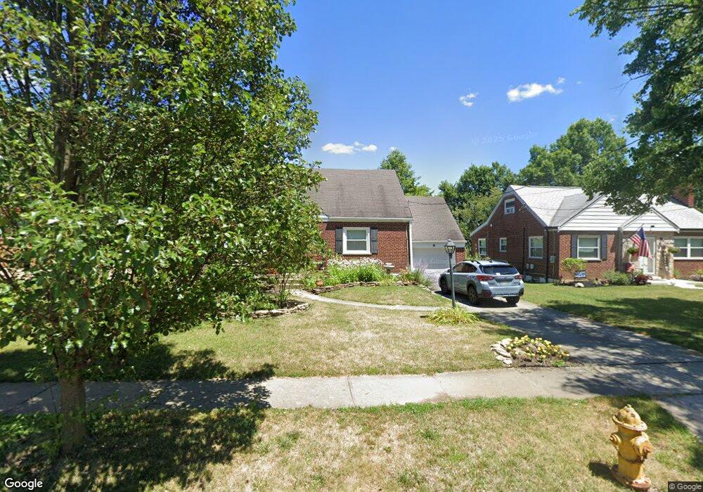
352 Bob Dr Cincinnati, OH 45238
Delshire NeighborhoodEstimated Value: $218,933 - $239,000
4
Beds
2
Baths
1,665
Sq Ft
$139/Sq Ft
Est. Value
About This Home
This home is located at 352 Bob Dr, Cincinnati, OH 45238 and is currently estimated at $231,233, approximately $138 per square foot. 352 Bob Dr is a home located in Hamilton County with nearby schools including Delshire Elementary School, Delhi Middle School, and Oak Hills High School.
Ownership History
Date
Name
Owned For
Owner Type
Purchase Details
Closed on
Nov 14, 2019
Sold by
Nienaber Robert J and Nienaber Katherine D
Bought by
Nienaber Katherin D and Katherine D Nienaber Trust
Current Estimated Value
Purchase Details
Closed on
Jun 29, 1999
Sold by
Ruprecht Edward H
Bought by
Nienaber Robert J and Nienaber Katherine D
Home Financials for this Owner
Home Financials are based on the most recent Mortgage that was taken out on this home.
Original Mortgage
$89,200
Outstanding Balance
$22,568
Interest Rate
7.28%
Estimated Equity
$208,665
Create a Home Valuation Report for This Property
The Home Valuation Report is an in-depth analysis detailing your home's value as well as a comparison with similar homes in the area
Home Values in the Area
Average Home Value in this Area
Purchase History
| Date | Buyer | Sale Price | Title Company |
|---|---|---|---|
| Nienaber Katherin D | -- | None Available | |
| Nienaber Robert J | $105,000 | Title First Agency Cincinnat |
Source: Public Records
Mortgage History
| Date | Status | Borrower | Loan Amount |
|---|---|---|---|
| Open | Nienaber Robert J | $89,200 |
Source: Public Records
Tax History
| Year | Tax Paid | Tax Assessment Tax Assessment Total Assessment is a certain percentage of the fair market value that is determined by local assessors to be the total taxable value of land and additions on the property. | Land | Improvement |
|---|---|---|---|---|
| 2025 | $3,329 | $55,931 | $10,252 | $45,679 |
| 2024 | $3,247 | $55,931 | $10,252 | $45,679 |
| 2023 | $3,257 | $55,931 | $10,252 | $45,679 |
| 2022 | $2,303 | $35,105 | $9,170 | $25,935 |
| 2021 | $2,255 | $35,105 | $9,170 | $25,935 |
| 2020 | $2,287 | $35,105 | $9,170 | $25,935 |
| 2019 | $2,194 | $30,265 | $7,907 | $22,358 |
| 2018 | $2,196 | $30,265 | $7,907 | $22,358 |
| 2017 | $1,984 | $30,265 | $7,907 | $22,358 |
| 2016 | $2,054 | $31,399 | $8,281 | $23,118 |
| 2015 | $2,056 | $31,399 | $8,281 | $23,118 |
| 2014 | $2,058 | $31,399 | $8,281 | $23,118 |
| 2013 | $2,039 | $33,051 | $8,715 | $24,336 |
Source: Public Records
Map
Nearby Homes
- 337 Greenwell Ave
- 4635 Mayhew Ave
- 4938 Mount Alverno Rd
- 4457 Delhi Rd
- 439 Pedretti Ave
- 4380 Glenhaven Rd
- 4279 Paul Rd
- 4271 Champdale Ln
- 4294 Mayhew Ave
- 4994 Troubador Ct
- 4209 Delryan Dr
- 4979 Bonaventure Ct
- 4729 Shadylawn Terrace
- 5140 Old Oak Trail
- 5062 Orangelawn Dr
- 5160 Old Oak Trail
- 5210 Old Oak Trail
- 576 Claymore Terrace
- 4924 Alvernovalley Ct
- 517 Trenton Ave
Your Personal Tour Guide
Ask me questions while you tour the home.