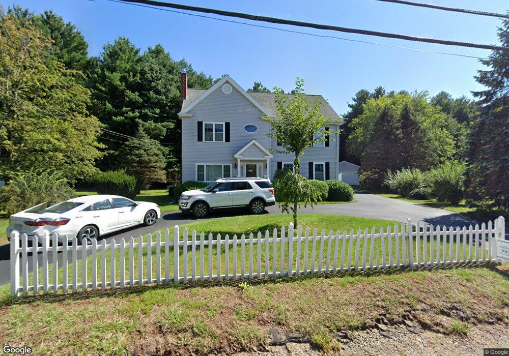
352 Dedham St Wrentham, MA 02093
Estimated Value: $754,000 - $1,045,000
3
Beds
2
Baths
2,594
Sq Ft
$353/Sq Ft
Est. Value
About This Home
This home is located at 352 Dedham St, Wrentham, MA 02093 and is currently estimated at $916,031, approximately $353 per square foot. 352 Dedham St is a home located in Norfolk County with nearby schools including Delaney Elementary School and Charles E Roderick.
Ownership History
Date
Name
Owned For
Owner Type
Purchase Details
Closed on
Feb 15, 1995
Sold by
Mccarthy Shawn F and Mccarthy Carol A
Bought by
Obrien Terence
Current Estimated Value
Home Financials for this Owner
Home Financials are based on the most recent Mortgage that was taken out on this home.
Original Mortgage
$118,800
Interest Rate
9.19%
Mortgage Type
Purchase Money Mortgage
Purchase Details
Closed on
Mar 20, 1990
Sold by
Tobin Janet E
Bought by
Mccarthy Shawn F
Home Financials for this Owner
Home Financials are based on the most recent Mortgage that was taken out on this home.
Original Mortgage
$115,600
Interest Rate
10.02%
Mortgage Type
Purchase Money Mortgage
Create a Home Valuation Report for This Property
The Home Valuation Report is an in-depth analysis detailing your home's value as well as a comparison with similar homes in the area
Purchase History
| Date | Buyer | Sale Price | Title Company |
|---|---|---|---|
| Obrien Terence | $125,300 | -- | |
| Mccarthy Shawn F | $134,500 | -- |
Source: Public Records
Mortgage History
| Date | Status | Borrower | Loan Amount |
|---|---|---|---|
| Closed | Mccarthy Shawn F | $118,800 | |
| Previous Owner | Mccarthy Shawn F | $115,500 | |
| Previous Owner | Mccarthy Shawn F | $115,600 |
Source: Public Records
Tax History
| Year | Tax Paid | Tax Assessment Tax Assessment Total Assessment is a certain percentage of the fair market value that is determined by local assessors to be the total taxable value of land and additions on the property. | Land | Improvement |
|---|---|---|---|---|
| 2025 | $10,033 | $865,700 | $251,500 | $614,200 |
| 2024 | $9,574 | $797,800 | $251,500 | $546,300 |
| 2023 | $9,316 | $738,200 | $228,700 | $509,500 |
| 2022 | $9,147 | $669,100 | $222,600 | $446,500 |
| 2021 | $8,730 | $620,500 | $208,000 | $412,500 |
| 2020 | $8,814 | $618,500 | $158,800 | $459,700 |
| 2019 | $8,472 | $600,000 | $158,800 | $441,200 |
| 2018 | $7,801 | $547,800 | $158,900 | $388,900 |
| 2017 | $7,621 | $534,800 | $155,800 | $379,000 |
| 2016 | $7,520 | $526,600 | $151,300 | $375,300 |
| 2015 | $7,536 | $503,100 | $145,500 | $357,600 |
| 2014 | $7,363 | $480,900 | $139,900 | $341,000 |
Source: Public Records
Map
Nearby Homes
- 576 Dedham St
- 11 Weber Farm Rd Unit 11
- 8 Weber Farm Rd Unit 8
- 30 Weber Farm Rd Unit 30
- 10 Nature View Dr
- 15 Nature View Dr
- 246 Forest Grove Ave
- 0 W Birch Rd
- 9 Sharon Ave
- 11 Sharon Ave
- 25 Foxboro Rd
- 8 Ridgefield Rd
- 500 Franklin St
- 75 Foxboro Rd
- 287 Park St
- 65 Foxboro Rd
- 7 Hill St Unit 12
- 7 Hill St Unit 16
- 131 Washington St Unit 42
- 131 Washington St Unit 50
- 362 Dedham St
- 340 Dedham St
- 332 Dedham St
- 334 Dedham St Unit 332-334
- 332 Dedham St Unit 332
- 332 Dedham St Unit 1
- 334 Dedham St Unit 334
- 328 Dedham St
- 370 Dedham St
- 312 Dedham St
- 299 Dedham St
- 406 Dedham St
- 46 Cee Jay Terrace
- 296 Dedham St
- 295 Dedham St
- 410 Dedham St
- 45 Cee Jay Terrace
- 40 Cee Jay Terrace
- 291 Dedham St
- 39 Cee Jay Terrace
Your Personal Tour Guide
Ask me questions while you tour the home.