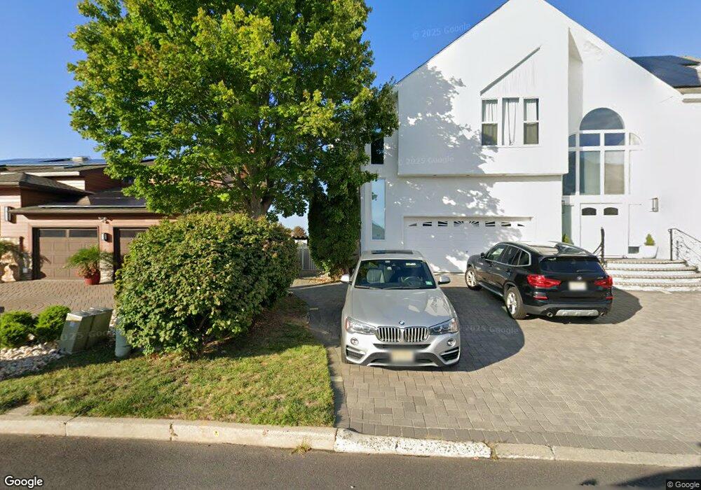
352 Estate Point Rd Toms River, NJ 08753
Estimated Value: $747,000 - $859,000
4
Beds
3
Baths
2,681
Sq Ft
$292/Sq Ft
Est. Value
About This Home
This home is located at 352 Estate Point Rd, Toms River, NJ 08753 and is currently estimated at $782,303, approximately $291 per square foot. 352 Estate Point Rd is a home located in Ocean County.
Ownership History
Date
Name
Owned For
Owner Type
Purchase Details
Closed on
Aug 3, 2015
Sold by
Courtney Carrie A and Courtney James R
Bought by
Pounders Richard J
Current Estimated Value
Purchase Details
Closed on
Mar 19, 2013
Sold by
Courtney James R
Bought by
Courtney Carrie A
Purchase Details
Closed on
Mar 23, 1998
Sold by
Ryan John Kevin and Ryan Carolyn D
Bought by
Courtney James R and Courtney Maryann
Home Financials for this Owner
Home Financials are based on the most recent Mortgage that was taken out on this home.
Original Mortgage
$200,000
Interest Rate
6.89%
Create a Home Valuation Report for This Property
The Home Valuation Report is an in-depth analysis detailing your home's value as well as a comparison with similar homes in the area
Home Values in the Area
Average Home Value in this Area
Purchase History
| Date | Buyer | Sale Price | Title Company |
|---|---|---|---|
| Pounders Richard J | $500,000 | Spirit Title Agency Llc | |
| Courtney Carrie A | -- | None Available | |
| Courtney James R | $225,000 | First American Title Ins Co |
Source: Public Records
Mortgage History
| Date | Status | Borrower | Loan Amount |
|---|---|---|---|
| Previous Owner | Courtney James R | $200,000 |
Source: Public Records
Tax History Compared to Growth
Tax History
| Year | Tax Paid | Tax Assessment Tax Assessment Total Assessment is a certain percentage of the fair market value that is determined by local assessors to be the total taxable value of land and additions on the property. | Land | Improvement |
|---|---|---|---|---|
| 2025 | $9,744 | $534,800 | $104,000 | $430,800 |
| 2024 | $9,257 | $534,800 | $104,000 | $430,800 |
| 2023 | $8,920 | $534,800 | $104,000 | $430,800 |
| 2022 | $8,920 | $534,800 | $104,000 | $430,800 |
| 2021 | $8,643 | $346,000 | $79,300 | $266,700 |
| 2020 | $8,605 | $346,000 | $79,300 | $266,700 |
| 2019 | $8,231 | $346,000 | $79,300 | $266,700 |
| 2018 | $7,868 | $334,100 | $79,300 | $254,800 |
| 2017 | $7,815 | $334,100 | $79,300 | $254,800 |
| 2016 | $7,631 | $334,100 | $79,300 | $254,800 |
| 2015 | $7,357 | $334,100 | $79,300 | $254,800 |
| 2014 | $6,993 | $334,100 | $79,300 | $254,800 |
Source: Public Records
Map
Nearby Homes
- 292 Aldo Dr
- 108 Longman St
- 294 Jill Ct
- 385 Aldo Dr
- 52 16th St
- 12 Anchorage Dr
- 316 Silver Lagoon Dr
- 261 Aldo Dr
- 8 Channel Rd
- 40 Anchorage Dr
- 266 Alabama Ave
- 39 Woodhaven Rd
- 101 Reflection Rd
- 505 Bayview Dr
- 3 Harbor View Ln
- 4 Pine Bluff Rd
- 37 Harbor View Ln
- 259 Timberline Rd
- 657 Bayview Dr
- 21 Holly Hill Dr
- 356 Estate Point Rd
- 348 Estate Point Rd
- 353 Estate Point Rd
- 357 Estate Point Rd
- 349 Estate Point Rd
- 360 Estate Point Rd
- 364 Estate Point Rd
- 337 Estate Point Rd
- 442 Maine St
- 55 Aldo Ct
- 334 Aldo Dr
- 332 Aldo Dr
- 53 Aldo Ct
- 336 Aldo Dr
- 330 Aldo Dr
- 338 Aldo Dr
- 333 Estate Point Rd
- 326 Aldo Dr
- 56 Aldo Ct
- 340 Aldo Dr