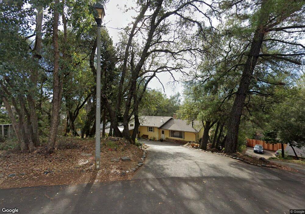
352 Kevin Ct Auburn, CA 95603
Estimated Value: $523,000 - $607,000
4
Beds
2
Baths
1,652
Sq Ft
$332/Sq Ft
Est. Value
About This Home
This home is located at 352 Kevin Ct, Auburn, CA 95603 and is currently estimated at $547,692, approximately $331 per square foot. 352 Kevin Ct is a home located in Placer County with nearby schools including Auburn Elementary School, Placer High School, and Bowman Charter School.
Ownership History
Date
Name
Owned For
Owner Type
Purchase Details
Closed on
Feb 20, 2002
Sold by
Mannon Meghan
Bought by
Stenger Dieter and Stenger Karen L
Current Estimated Value
Home Financials for this Owner
Home Financials are based on the most recent Mortgage that was taken out on this home.
Original Mortgage
$188,000
Outstanding Balance
$76,306
Interest Rate
6.8%
Mortgage Type
Purchase Money Mortgage
Estimated Equity
$471,386
Purchase Details
Closed on
Dec 6, 2000
Sold by
Hickey Lisa M
Bought by
Mannon Douglas
Create a Home Valuation Report for This Property
The Home Valuation Report is an in-depth analysis detailing your home's value as well as a comparison with similar homes in the area
Home Values in the Area
Average Home Value in this Area
Purchase History
| Date | Buyer | Sale Price | Title Company |
|---|---|---|---|
| Stenger Dieter | $235,000 | North American Title Co | |
| Mannon Douglas | $212,000 | Placer Title Company | |
| Hickey Lisa M | -- | Placer Title Company |
Source: Public Records
Mortgage History
| Date | Status | Borrower | Loan Amount |
|---|---|---|---|
| Open | Stenger Dieter | $188,000 |
Source: Public Records
Tax History
| Year | Tax Paid | Tax Assessment Tax Assessment Total Assessment is a certain percentage of the fair market value that is determined by local assessors to be the total taxable value of land and additions on the property. | Land | Improvement |
|---|---|---|---|---|
| 2025 | $4,472 | $347,142 | $103,399 | $243,743 |
| 2023 | $4,472 | $333,664 | $99,385 | $234,279 |
| 2022 | $4,414 | $327,123 | $97,437 | $229,686 |
| 2021 | $4,289 | $320,710 | $95,527 | $225,183 |
| 2020 | $4,264 | $317,423 | $94,548 | $222,875 |
| 2019 | $4,202 | $311,200 | $92,695 | $218,505 |
| 2018 | $4,024 | $305,099 | $90,878 | $214,221 |
| 2017 | $3,930 | $299,118 | $89,097 | $210,021 |
| 2016 | $3,830 | $293,253 | $87,350 | $205,903 |
| 2015 | $3,724 | $288,849 | $86,038 | $202,811 |
| 2014 | $3,646 | $283,192 | $84,353 | $198,839 |
Source: Public Records
Map
Nearby Homes
- 12632 Vick Ct
- 374 Kevin Ct
- 12631 Eckard Way
- 197 Blackberry Ct Unit 10
- 12730 Shockley Ct
- 0 Dairy Rd Unit 225137062
- 541 Cambridge Ct
- 12735 Shockley Ct
- 12755 Shockley Ct
- 1038 Mikkelsen Dr
- 734 Dorothy Way Unit 66
- 12321 Westwood Dr
- 811 Auburn Ravine Rd
- 12280 Westwood Dr
- 865 El Oro Dr
- 12439 Homestead Way
- 12565 Marcelais Ct
- 12609 Quail Hollow Dr
- 731 Mikkelsen Dr
- 13065 Lincoln Way Unit B
Your Personal Tour Guide
Ask me questions while you tour the home.