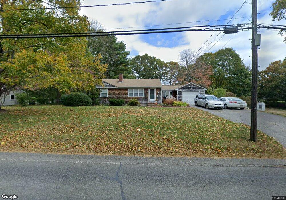
352 Myrtle St Hanover, MA 02339
Estimated Value: $596,000 - $774,000
3
Beds
1
Bath
1,118
Sq Ft
$585/Sq Ft
Est. Value
About This Home
This home is located at 352 Myrtle St, Hanover, MA 02339 and is currently estimated at $654,209, approximately $585 per square foot. 352 Myrtle St is a home located in Plymouth County with nearby schools including Hanover High School, Cadence Academy Preschool - Hanover, and The Master's Academy.
Ownership History
Date
Name
Owned For
Owner Type
Purchase Details
Closed on
Jul 30, 1999
Sold by
Sweeney Walter L and Sweeney Andrea L
Bought by
Dawson Michael A and Andersons Laura A
Current Estimated Value
Home Financials for this Owner
Home Financials are based on the most recent Mortgage that was taken out on this home.
Original Mortgage
$180,000
Outstanding Balance
$51,564
Interest Rate
7.61%
Mortgage Type
Purchase Money Mortgage
Estimated Equity
$602,645
Create a Home Valuation Report for This Property
The Home Valuation Report is an in-depth analysis detailing your home's value as well as a comparison with similar homes in the area
Home Values in the Area
Average Home Value in this Area
Purchase History
| Date | Buyer | Sale Price | Title Company |
|---|---|---|---|
| Dawson Michael A | $225,000 | -- | |
| Dawson Michael A | $225,000 | -- |
Source: Public Records
Mortgage History
| Date | Status | Borrower | Loan Amount |
|---|---|---|---|
| Open | Dawson Michael A | $50,000 | |
| Closed | Dawson Michael A | $75,000 | |
| Open | Dawson Michael A | $180,000 | |
| Closed | Dawson Michael A | $180,000 |
Source: Public Records
Tax History
| Year | Tax Paid | Tax Assessment Tax Assessment Total Assessment is a certain percentage of the fair market value that is determined by local assessors to be the total taxable value of land and additions on the property. | Land | Improvement |
|---|---|---|---|---|
| 2025 | $6,292 | $509,500 | $266,000 | $243,500 |
| 2024 | $6,542 | $509,500 | $266,000 | $243,500 |
| 2023 | $6,330 | $469,200 | $241,900 | $227,300 |
| 2022 | $6,208 | $407,100 | $229,800 | $177,300 |
| 2021 | $171 | $358,200 | $186,900 | $171,300 |
| 2020 | $0 | $364,400 | $197,900 | $166,500 |
| 2019 | $0 | $345,200 | $197,900 | $147,300 |
| 2018 | $0 | $338,800 | $197,900 | $140,900 |
| 2017 | $9,029 | $320,000 | $192,600 | $127,400 |
| 2016 | $5,100 | $302,500 | $175,100 | $127,400 |
| 2015 | $4,425 | $274,000 | $162,200 | $111,800 |
Source: Public Records
Map
Nearby Homes
- 51 Cervelli Farm Dr
- 37 Dr
- 23 Cervelli Farm Dr
- 38 Cervelli Farm Dr
- 9 Cervelli Farm Dr
- 250 Center St
- 36 Grove St
- 95 Tecumseh Dr
- 114 Graham Hill Dr
- 108 Waterford Dr
- 75 School St
- 35 Sproul Rd
- 561 Circuit St
- 339 State St
- 70 Bardin St
- 430 Brook Bend Rd
- 139 Fairwood Dr
- 51 Farmside Dr
- 7 Farmside Dr
- 33 1st Parish Ln
- 344 Myrtle St
- 364 Myrtle St
- 361 Myrtle St
- 343 Myrtle St
- 500 Center St
- 42 Old Cross St
- 369 Myrtle St
- 466 Center St
- 466 Center St Unit 2
- 466 Center St Unit C
- 466 Center St Unit B
- 12 Stacy Ln
- 376 Myrtle St
- 506 Center St
- 379 Myrtle St
- 379 Myrtle St Unit 1
- 17 Josiahs Ln
- 16 Josiahs Ln
- 22 Old Cross St
- 516 Center St
Your Personal Tour Guide
Ask me questions while you tour the home.