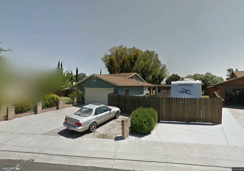
352 O St Lathrop, CA 95330
East Lathrop NeighborhoodEstimated Value: $393,000 - $476,000
3
Beds
2
Baths
1,130
Sq Ft
$391/Sq Ft
Est. Value
About This Home
This home is located at 352 O St, Lathrop, CA 95330 and is currently estimated at $441,804, approximately $390 per square foot. 352 O St is a home located in San Joaquin County with nearby schools including Lathrop Elementary School, Lathrop High School, and BE.TECH Charter High School.
Ownership History
Date
Name
Owned For
Owner Type
Purchase Details
Closed on
Jul 6, 2001
Sold by
Brenes Marisela and Vidal Fluvia
Bought by
Brenes Marisela
Current Estimated Value
Home Financials for this Owner
Home Financials are based on the most recent Mortgage that was taken out on this home.
Original Mortgage
$156,000
Outstanding Balance
$60,642
Interest Rate
7.26%
Estimated Equity
$381,162
Purchase Details
Closed on
Mar 23, 2000
Sold by
Mccord Blair Virgil
Bought by
Brenes Marisela and Vidal Fluvia
Home Financials for this Owner
Home Financials are based on the most recent Mortgage that was taken out on this home.
Original Mortgage
$144,036
Interest Rate
8.3%
Mortgage Type
FHA
Create a Home Valuation Report for This Property
The Home Valuation Report is an in-depth analysis detailing your home's value as well as a comparison with similar homes in the area
Home Values in the Area
Average Home Value in this Area
Purchase History
| Date | Buyer | Sale Price | Title Company |
|---|---|---|---|
| Brenes Marisela | -- | Chicago Title Co | |
| Brenes Marisela | $145,000 | Old Republic Title Company |
Source: Public Records
Mortgage History
| Date | Status | Borrower | Loan Amount |
|---|---|---|---|
| Open | Brenes Marisela | $156,000 | |
| Closed | Brenes Marisela | $144,036 |
Source: Public Records
Tax History
| Year | Tax Paid | Tax Assessment Tax Assessment Total Assessment is a certain percentage of the fair market value that is determined by local assessors to be the total taxable value of land and additions on the property. | Land | Improvement |
|---|---|---|---|---|
| 2025 | $2,963 | $240,676 | $90,271 | $150,405 |
| 2024 | $2,997 | $235,957 | $88,501 | $147,456 |
| 2023 | $2,910 | $231,331 | $86,766 | $144,565 |
| 2022 | $2,866 | $226,796 | $85,065 | $141,731 |
| 2021 | $2,833 | $222,350 | $83,398 | $138,952 |
| 2020 | $2,730 | $220,071 | $82,543 | $137,528 |
| 2019 | $2,694 | $215,757 | $80,925 | $134,832 |
| 2018 | $2,657 | $211,528 | $79,339 | $132,189 |
| 2017 | $2,623 | $207,382 | $77,784 | $129,598 |
| 2016 | $2,562 | $203,318 | $76,260 | $127,058 |
| 2014 | $2,402 | $196,341 | $73,643 | $122,698 |
Source: Public Records
Map
Nearby Homes
- 15940 Warfield Rd
- 16012 Julie Ln
- 16235 Suzie Q Ln
- 15820 S Harlan Rd Unit 16
- 15820 S Harlan Rd Unit 98
- 15820 S Harlan Rd Unit 143
- 3104 Needham Ave
- 197 E Louise Ave
- 16439 Carleta Place
- 15583 Kellogg Creek Ct
- 2150 Mulholland Dr
- 3085 Garden Farms Ave
- 2505 Mulholland Dr
- 2803 Penrose Ln
- 2281 Garden Farms Ave
- 339 Glass Beach Dr
- 353 Glass Beach Dr
- 322 Miramar Dr
- 336 Miramar Dr
- 367 Glass Beach Dr
Your Personal Tour Guide
Ask me questions while you tour the home.