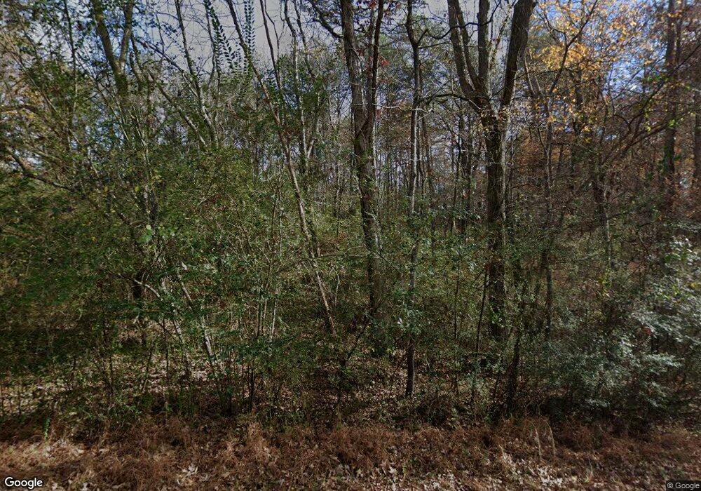
352 Rabbit Farm Rd Dunlap, TN 37327
Estimated Value: $96,000
--
Bed
4
Baths
1,894
Sq Ft
$51/Sq Ft
Est. Value
About This Home
This home is located at 352 Rabbit Farm Rd, Dunlap, TN 37327 and is currently estimated at $96,000, approximately $50 per square foot. 352 Rabbit Farm Rd is a home located in Sequatchie County with nearby schools including Griffith Elementary School, Sequatchie County Middle School, and Sequatchie County High School.
Ownership History
Date
Name
Owned For
Owner Type
Purchase Details
Closed on
Oct 15, 2024
Sold by
Hennessee Roger Dale and Hennessee Deborah Ann
Bought by
Bohorquez Carlos and Oliveros Marta
Current Estimated Value
Purchase Details
Closed on
Dec 8, 2003
Sold by
Reba Hennessee
Bought by
James Mccarver Willis
Purchase Details
Closed on
May 13, 1993
Bought by
Hennessee Roger Dale and Wife Deborah Ann
Purchase Details
Closed on
Jun 20, 1992
Bought by
Hennessee Roger Dale and Wife Deborah Ann
Purchase Details
Closed on
Nov 19, 1990
Bought by
Grayson Barbara Hennessee Reba
Create a Home Valuation Report for This Property
The Home Valuation Report is an in-depth analysis detailing your home's value as well as a comparison with similar homes in the area
Home Values in the Area
Average Home Value in this Area
Purchase History
| Date | Buyer | Sale Price | Title Company |
|---|---|---|---|
| Bohorquez Carlos | $91,000 | First Title | |
| James Mccarver Willis | $5,000 | -- | |
| Hennessee Roger Dale | $3,000 | -- | |
| Hennessee Roger Dale | $15,000 | -- | |
| Grayson Barbara Hennessee Reba | $55,000 | -- |
Source: Public Records
Tax History Compared to Growth
Tax History
| Year | Tax Paid | Tax Assessment Tax Assessment Total Assessment is a certain percentage of the fair market value that is determined by local assessors to be the total taxable value of land and additions on the property. | Land | Improvement |
|---|---|---|---|---|
| 2024 | $2,468 | $102,225 | $9,500 | $92,725 |
| 2023 | $2,468 | $102,225 | $9,500 | $92,725 |
| 2022 | $2,040 | $61,475 | $7,100 | $54,375 |
| 2021 | $2,009 | $61,475 | $7,100 | $54,375 |
| 2020 | $1,973 | $60,375 | $7,100 | $53,275 |
| 2019 | $1,973 | $60,375 | $7,100 | $53,275 |
| 2018 | $1,950 | $60,375 | $7,100 | $53,275 |
| 2017 | $1,928 | $60,375 | $7,100 | $53,275 |
| 2016 | $1,927 | $57,850 | $6,025 | $51,825 |
| 2015 | $1,893 | $56,850 | $5,025 | $51,825 |
| 2014 | $1,431 | $42,975 | $5,025 | $37,950 |
Source: Public Records
Map
Nearby Homes
- 1 Countryside Dr
- 0 Countryside Dr Unit 24649631
- 0 Countryside Dr Unit 1310228
- 0 Countryside Dr Unit 238272
- 0 Countryside Dr Unit 20253507
- 0 Countryside Dr Unit 1517709
- 13875 Rankin Ave
- O Skyhigh Dr
- 20 Skyhigh Dr
- 300 Skyhigh Dr
- 0 Skyhigh Dr Unit RTC2970790
- 0 Skyhigh Dr Unit 1518263
- 27 Skyhigh Dr
- 0 Skyhigh Dr Unit RTC2867014
- 0 Skyhigh Dr Unit 1505984
- 919 John Burch Rd
- 14127 Rankin Ave
- 241 Dogwood Ln
- 89 Clover Dale Rd S
- 111 Oak Meadows Dr
