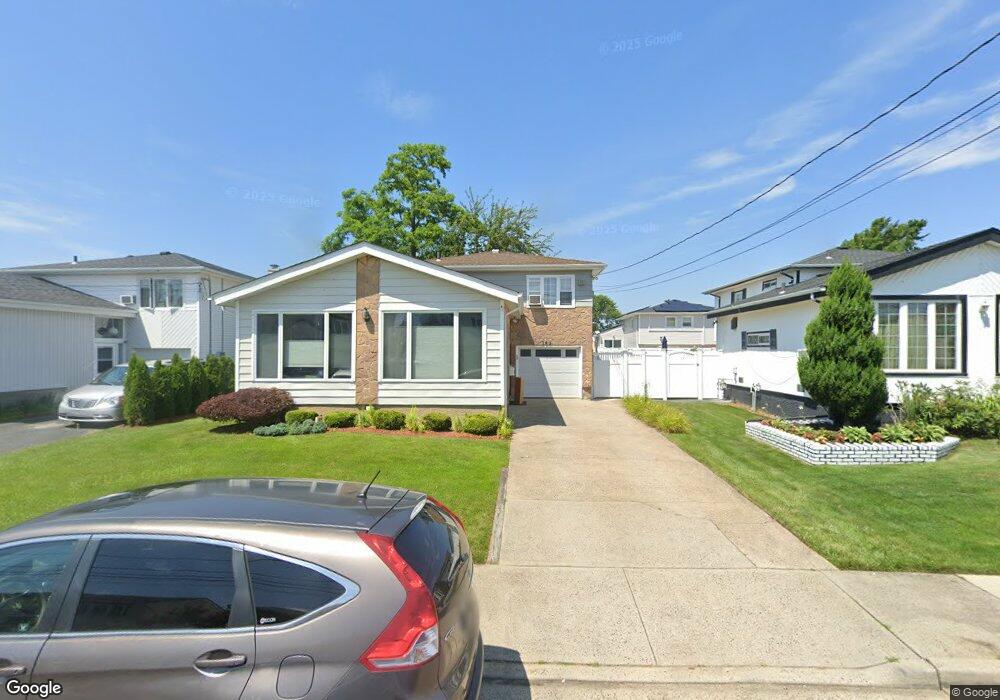
352 Saint Marks Ave Freeport, NY 11520
Estimated Value: $648,062 - $650,000
3
Beds
2
Baths
1,610
Sq Ft
$403/Sq Ft
Est. Value
About This Home
This home is located at 352 Saint Marks Ave, Freeport, NY 11520 and is currently estimated at $649,031, approximately $403 per square foot. 352 Saint Marks Ave is a home located in Nassau County with nearby schools including Columbus Avenue School, Caroline G. Atkinson Intermediate School, and John W Dodd Middle School.
Ownership History
Date
Name
Owned For
Owner Type
Purchase Details
Closed on
Oct 12, 2018
Sold by
Mattar Cavel and Desvarieux Myrna
Bought by
Mattar Cavel
Current Estimated Value
Home Financials for this Owner
Home Financials are based on the most recent Mortgage that was taken out on this home.
Original Mortgage
$301,000
Outstanding Balance
$263,048
Interest Rate
4.6%
Mortgage Type
Adjustable Rate Mortgage/ARM
Estimated Equity
$385,983
Purchase Details
Closed on
May 30, 2003
Sold by
Jones John
Bought by
Mattar Cavel
Purchase Details
Closed on
Aug 3, 1998
Purchase Details
Closed on
Sep 25, 1996
Sold by
Tiffeau Frantz
Bought by
Jones John and Bailey Seta
Create a Home Valuation Report for This Property
The Home Valuation Report is an in-depth analysis detailing your home's value as well as a comparison with similar homes in the area
Home Values in the Area
Average Home Value in this Area
Purchase History
| Date | Buyer | Sale Price | Title Company |
|---|---|---|---|
| Mattar Cavel | $30,000 | None Available | |
| Mattar Cavel | $329,900 | -- | |
| -- | -- | -- | |
| Jones John | $150,000 | -- |
Source: Public Records
Mortgage History
| Date | Status | Borrower | Loan Amount |
|---|---|---|---|
| Open | Mattar Cavel | $301,000 |
Source: Public Records
Tax History
| Year | Tax Paid | Tax Assessment Tax Assessment Total Assessment is a certain percentage of the fair market value that is determined by local assessors to be the total taxable value of land and additions on the property. | Land | Improvement |
|---|---|---|---|---|
| 2025 | $7,439 | $345 | $124 | $221 |
| 2024 | $735 | $348 | $125 | $223 |
Source: Public Records
Map
Nearby Homes
- 300 Branch Ave
- 711 S Bayview Ave
- 292 Westside Ave
- 51 Irving Ave
- 744 S Long Beach Ave
- 55 Lester Ave
- 226 Westside Ave Unit B
- 587 S Bayview Ave
- 470 Miller Ave
- 28 Florence Ave
- 160 Saint Marks Ave
- 8 Florence Ave Unit 16C
- 210 Westend Ave Unit 8B
- 210 Westend Ave Unit 8A
- 209 Nassau Ave
- 12 Florence Ave Unit 29A
- 605 S Ocean Ave
- 374 Miller Ave
- 14 Florence Ave Unit 25B
- 825 S Ocean Ave Unit 2
- 346 Saint Marks Ave
- 358 Saint Marks Ave
- 309 Branch Ave
- 340 Saint Marks Ave
- 311 Branch Ave
- 305 Branch Ave
- 347 Saint Marks Ave
- 313 Branch Ave
- 364 Saint Marks Ave
- 301 Branch Ave
- 343 Saint Marks Ave
- 353 Saint Marks Ave
- 334 Saint Marks Ave
- 337 Saint Marks Ave
- 297 Branch Ave
- 328 Saint Marks Ave
- 363 Saint Marks Ave
- 35 Clinton St
- 293 Branch Ave
Your Personal Tour Guide
Ask me questions while you tour the home.