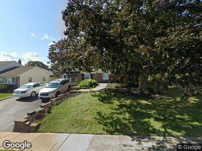
352 Swanage Dr Broomall, PA 19008
Estimated Value: $488,284 - $531,000
3
Beds
2
Baths
1,520
Sq Ft
$340/Sq Ft
Est. Value
About This Home
This home is located at 352 Swanage Dr, Broomall, PA 19008 and is currently estimated at $516,571, approximately $339 per square foot. 352 Swanage Dr is a home located in Delaware County with nearby schools including Loomis Elementary School, Paxon Hollow Middle School, and Marple Newtown Senior High School.
Ownership History
Date
Name
Owned For
Owner Type
Purchase Details
Closed on
Aug 4, 2004
Sold by
Delvacchio Vincent A and Del Vacchio Kathryn M
Bought by
Pilko Christopher T and Pilko Bretany W
Current Estimated Value
Home Financials for this Owner
Home Financials are based on the most recent Mortgage that was taken out on this home.
Original Mortgage
$203,000
Interest Rate
6.03%
Mortgage Type
Fannie Mae Freddie Mac
Purchase Details
Closed on
Dec 30, 1997
Sold by
Taylor Charles Ray and Bang Hae Kyong
Bought by
Delvacchio Vincent A and Delvacchio Kathryn M
Home Financials for this Owner
Home Financials are based on the most recent Mortgage that was taken out on this home.
Original Mortgage
$140,800
Interest Rate
7.09%
Mortgage Type
FHA
Create a Home Valuation Report for This Property
The Home Valuation Report is an in-depth analysis detailing your home's value as well as a comparison with similar homes in the area
Home Values in the Area
Average Home Value in this Area
Purchase History
| Date | Buyer | Sale Price | Title Company |
|---|---|---|---|
| Pilko Christopher T | $290,000 | Lawyers Title Ins | |
| Delvacchio Vincent A | $150,000 | Commonwealth Land Title Ins |
Source: Public Records
Mortgage History
| Date | Status | Borrower | Loan Amount |
|---|---|---|---|
| Open | Pilko Christopher T | $178,350 | |
| Closed | Pilko Christopher T | $50,000 | |
| Closed | Pilko Christopher T | $203,000 | |
| Previous Owner | Delvacchio Vincent A | $140,800 |
Source: Public Records
Tax History Compared to Growth
Tax History
| Year | Tax Paid | Tax Assessment Tax Assessment Total Assessment is a certain percentage of the fair market value that is determined by local assessors to be the total taxable value of land and additions on the property. | Land | Improvement |
|---|---|---|---|---|
| 2024 | $5,298 | $306,600 | $107,050 | $199,550 |
| 2023 | $5,130 | $306,600 | $107,050 | $199,550 |
| 2022 | $5,033 | $306,600 | $107,050 | $199,550 |
| 2021 | $7,596 | $306,600 | $107,050 | $199,550 |
| 2020 | $4,456 | $154,860 | $55,870 | $98,990 |
| 2019 | $4,403 | $154,860 | $55,870 | $98,990 |
| 2018 | $4,357 | $154,860 | $0 | $0 |
| 2017 | $4,359 | $154,860 | $0 | $0 |
| 2016 | $850 | $154,860 | $0 | $0 |
| 2015 | $867 | $154,860 | $0 | $0 |
| 2014 | $867 | $154,860 | $0 | $0 |
Source: Public Records
Map
Nearby Homes
- 228 S Pkwy
- 533 Warren Blvd
- 214 Cranbourne Dr
- 631 S Central Blvd
- 403 Sussex Blvd
- 1008 Richmond Rd
- 541 Glendale Rd
- 345 Crescent Hill Dr
- 413 S New Ardmore Ave
- 105 S New Ardmore Ave
- 1469 Windsor Park Ln
- 326 Francis Dr
- 2208 Clover Dr
- 400 Glendale Rd Unit J20
- 2210 Sproul Rd
- 1 Lawrence Rd Unit L2A
- 40 Cornell Cir
- 1425 Leedom Rd
- 209 2nd Ave
- 1311 Steel Rd
- 352 Swanage Dr
- 354 Swanage Dr
- 350 Swanage Dr
- 366 N Central Blvd
- 356 Swanage Dr
- 235 Talbot Dr
- 362 N Central Blvd
- 237 Talbot Dr
- 233 Talbot Dr
- 358 Swanage Dr
- 378 N Central Blvd
- 353 Swanage Dr
- 239 Talbot Dr
- 355 Swanage Dr
- 358 N Central Blvd
- 231 Talbot Dr
- 241 Talbot Dr
- 360 Swanage Dr
- 357 Swanage Dr
- 365 N Central Blvd