352 W Watts Rd Ringgold, GA 30736
Beaumont NeighborhoodEstimated Value: $246,000
Studio
2
Baths
--
Sq Ft
1,626,095
Sq Ft Lot
About This Home
This home is located at 352 W Watts Rd, Ringgold, GA 30736 and is currently estimated at $246,000. 352 W Watts Rd is a home located in Catoosa County with nearby schools including Woodstation Elementary School, Heritage Middle School, and Heritage High School.
Ownership History
Date
Name
Owned For
Owner Type
Purchase Details
Closed on
Jul 2, 2025
Sold by
Autry Gary W
Bought by
Autry Gary W and Autry Loretta M
Current Estimated Value
Purchase Details
Closed on
Jan 19, 2023
Sold by
Autry Gary W
Bought by
Autry William Gregory
Purchase Details
Closed on
Mar 24, 2017
Sold by
Autry Gary W
Bought by
Autry Norma J
Purchase Details
Closed on
Jan 1, 2014
Sold by
Autry Wayne D
Bought by
Autry Gary W and Autry Loretta M
Create a Home Valuation Report for This Property
The Home Valuation Report is an in-depth analysis detailing your home's value as well as a comparison with similar homes in the area
Home Values in the Area
Average Home Value in this Area
Purchase History
| Date | Buyer | Sale Price | Title Company |
|---|---|---|---|
| Autry Gary W | -- | -- | |
| Autry William Gregory | -- | -- | |
| Autry Norma J | -- | -- | |
| Autry Gary J | -- | -- | |
| Autry William Gregory | $140,000 | -- | |
| Autry Gary W | -- | -- |
Source: Public Records
Tax History
| Year | Tax Paid | Tax Assessment Tax Assessment Total Assessment is a certain percentage of the fair market value that is determined by local assessors to be the total taxable value of land and additions on the property. | Land | Improvement |
|---|---|---|---|---|
| 2025 | $414 | $112,461 | $111,505 | $956 |
| 2024 | $453 | $91,353 | $89,158 | $2,195 |
| 2023 | $494 | $89,979 | $87,201 | $2,778 |
| 2022 | $505 | $89,979 | $87,201 | $2,778 |
| 2021 | $460 | $89,979 | $87,201 | $2,778 |
| 2020 | $1,934 | $83,559 | $80,780 | $2,779 |
| 2019 | $489 | $83,559 | $80,780 | $2,779 |
| 2018 | $2,064 | $83,559 | $80,780 | $2,779 |
| 2017 | $491 | $83,559 | $80,780 | $2,779 |
| 2016 | $503 | $83,559 | $80,780 | $2,779 |
| 2015 | -- | $83,559 | $80,780 | $2,779 |
| 2014 | -- | $73,857 | $71,078 | $2,779 |
| 2013 | -- | $133,678 | $155,680 | $55,838 |
Source: Public Records
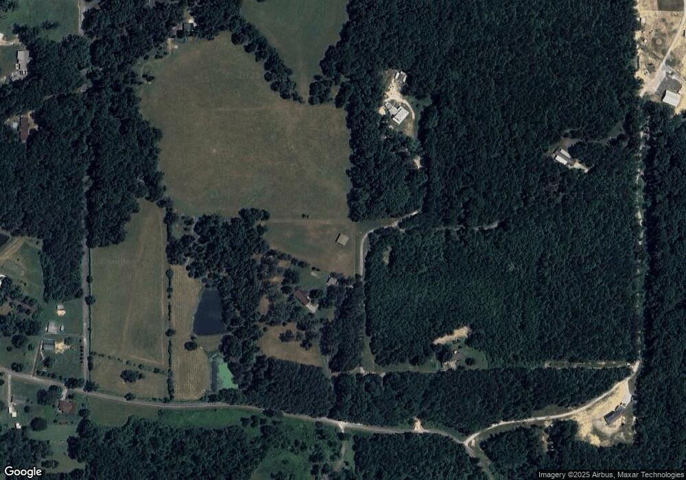
Map
Nearby Homes
- 449 W Watts Rd
- 1071 Wood Yates Rd
- 489 Meadowlark Dr
- 146 Hinton Ln
- 489 493 Meadowlark Dr
- 524 E Teems Rd
- 678 Waters Dr
- 0 Pineywood Dr Unit 1515968
- 37 Azalea Dr
- 80 Wildfire Dr
- 22 Whitlestick Dr
- 200 Ash Ln
- 130 Hankins Rd
- 94 Spring Wind Cir
- 155 Ash Ln
- 379 N Beaumont Rd
- 200 Waters Dr
- 40 Blessed Way
- 257 Spring Meadows Dr
- 0 Temperance Hall Rd Unit 10506446
- 352 W Watts Rd
- 395 W Watts Rd
- 221 W Watts Rd
- 155 Brownstone Dr
- 149 Brownstone Dr
- 195 Brownstone Dr
- 189 Brownstone Dr
- 163 Brownstone Dr
- 210 Whaley Hills Dr
- 100 Brown Stone Dr
- 78 Brown Stone Dr
- 142 Brown Stone Dr
- 126 Brown Stone Dr
- 134 Brown Stone Dr
- 120 Brown Stone Dr
- 0 E Teems Rd Unit RTC2912368
- 0 E Teems Rd Unit 10515523
- 0 E Teems Rd Unit 7573954
- 0 E Teems Rd Unit 2 20098693
- 0 E Teems Rd Unit 1363184
Your Personal Tour Guide
Ask me questions while you tour the home.