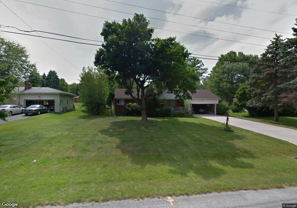
3520 Denver Ave Youngstown, OH 44505
Estimated Value: $127,000 - $190,000
3
Beds
1
Bath
1,168
Sq Ft
$132/Sq Ft
Est. Value
About This Home
This home is located at 3520 Denver Ave, Youngstown, OH 44505 and is currently estimated at $153,861, approximately $131 per square foot. 3520 Denver Ave is a home located in Trumbull County with nearby schools including E.J. Blott Elementary School, William S. Guy Middle School, and Liberty High School.
Ownership History
Date
Name
Owned For
Owner Type
Purchase Details
Closed on
Jun 25, 2024
Sold by
Kirr Liese
Bought by
Fields Dorothy and Washington Rachelle D
Current Estimated Value
Home Financials for this Owner
Home Financials are based on the most recent Mortgage that was taken out on this home.
Original Mortgage
$111,443
Outstanding Balance
$110,120
Interest Rate
7.02%
Mortgage Type
FHA
Estimated Equity
$43,741
Purchase Details
Closed on
Mar 1, 2012
Sold by
Doria Dominic P
Bought by
Kirr John
Purchase Details
Closed on
May 11, 2001
Sold by
Doria Dominic P
Bought by
Doria Dominic P and Doria Laura
Purchase Details
Closed on
Jan 1, 1990
Bought by
Dominic P Doria
Create a Home Valuation Report for This Property
The Home Valuation Report is an in-depth analysis detailing your home's value as well as a comparison with similar homes in the area
Home Values in the Area
Average Home Value in this Area
Purchase History
| Date | Buyer | Sale Price | Title Company |
|---|---|---|---|
| Fields Dorothy | $113,500 | Title Company Of Warren Agency | |
| Kirr John | $36,000 | Attorney | |
| Doria Dominic P | -- | -- | |
| Dominic P Doria | -- | -- |
Source: Public Records
Mortgage History
| Date | Status | Borrower | Loan Amount |
|---|---|---|---|
| Open | Fields Dorothy | $111,443 |
Source: Public Records
Tax History Compared to Growth
Tax History
| Year | Tax Paid | Tax Assessment Tax Assessment Total Assessment is a certain percentage of the fair market value that is determined by local assessors to be the total taxable value of land and additions on the property. | Land | Improvement |
|---|---|---|---|---|
| 2024 | $1,849 | $34,550 | $6,830 | $27,720 |
| 2023 | $1,849 | $34,550 | $6,830 | $27,720 |
| 2022 | $1,871 | $28,080 | $5,990 | $22,090 |
| 2021 | $850 | $12,610 | $5,990 | $6,620 |
| 2020 | $852 | $12,610 | $5,990 | $6,620 |
| 2019 | $898 | $11,730 | $5,990 | $5,740 |
| 2018 | $893 | $11,730 | $5,990 | $5,740 |
| 2017 | $869 | $11,730 | $5,990 | $5,740 |
| 2016 | $935 | $12,610 | $5,990 | $6,620 |
| 2015 | $949 | $12,610 | $5,990 | $6,620 |
| 2014 | $933 | $12,610 | $5,990 | $6,620 |
| 2013 | $908 | $12,610 | $5,990 | $6,620 |
Source: Public Records
Map
Nearby Homes
- 3510 Ohio Trail
- 3530 5th Ave
- 3730 Saint Andrews Dr
- 0 Saint Andrews Dr Unit 3940756
- 0 Saint Andrews Dr Unit 5061335
- 0 Saint Andrews Dr Unit 5061337
- 0 Little Rd N Unit 5134313
- 3735 Sampson Rd
- 3699 Staunton Dr
- 28 Wildfern Dr
- 330 Mansell Dr
- 0 Stonington Dr
- 447 Catherine St
- 406 Laurel St
- 1303 Stonington Dr
- 2458 5th Ave
- 1363 Country Club Dr
- 9 Redfern Dr
- 3470 Hadley Ave
- 3446 Hadley Ave
- 3540 Denver Ave
- 3510 Denver Ave
- 3521 Breeze Knoll Dr
- 3560 Denver Ave
- 3500 Denver Ave
- 3525 Breeze Knoll Dr
- 3511 Breeze Knoll Dr
- 3521 Denver Ave
- 3511 Denver Ave
- 3557 Breeze Knoll Dr
- 3505 Breeze Knoll Dr
- 3570 Denver Ave
- 3561 Denver Ave
- 3501 Denver Ave
- 9999 Breeze Knoll Dr
- 3567 Breeze Knoll Dr
- 0 Breeze Knoll Dr Unit 4389052
- 0 Breeze Knoll Dr
- 3520 Ohio Trail
- 3506 Ohio Trail