3520 Gravenstein Hwy S Sebastopol, CA 95472
Estimated Value: $1,138,000 - $1,784,000
4
Beds
2
Baths
6,810
Sq Ft
$209/Sq Ft
Est. Value
About This Home
This home is located at 3520 Gravenstein Hwy S, Sebastopol, CA 95472 and is currently estimated at $1,424,755, approximately $209 per square foot. 3520 Gravenstein Hwy S is a home located in Sonoma County with nearby schools including Analy High School, Gravenstein Elementary School, and Sunridge Charter School.
Ownership History
Date
Name
Owned For
Owner Type
Purchase Details
Closed on
Jul 6, 2009
Sold by
Cherniss Fred B
Bought by
Cherniss Fred B and Cherniss Tessa D
Current Estimated Value
Purchase Details
Closed on
Nov 6, 2005
Sold by
Cherniss Randy and Cherniss Fred
Bought by
Cherniss Fred B
Purchase Details
Closed on
Jan 2, 1996
Sold by
Cherniss Tessa
Bought by
Cherniss Fred B
Create a Home Valuation Report for This Property
The Home Valuation Report is an in-depth analysis detailing your home's value as well as a comparison with similar homes in the area
Home Values in the Area
Average Home Value in this Area
Purchase History
| Date | Buyer | Sale Price | Title Company |
|---|---|---|---|
| Cherniss Fred B | -- | None Available | |
| Cherniss Fred B | -- | None Available | |
| Cherniss Fred B | -- | North American Title Co | |
| Cherniss Joel N | $360,000 | North American Title Co |
Source: Public Records
Tax History Compared to Growth
Tax History
| Year | Tax Paid | Tax Assessment Tax Assessment Total Assessment is a certain percentage of the fair market value that is determined by local assessors to be the total taxable value of land and additions on the property. | Land | Improvement |
|---|---|---|---|---|
| 2025 | $7,093 | $609,338 | $244,655 | $364,683 |
| 2024 | $7,093 | $597,391 | $239,858 | $357,533 |
| 2023 | $7,093 | $585,678 | $235,155 | $350,523 |
| 2022 | $6,854 | $574,195 | $230,545 | $343,650 |
| 2021 | $6,789 | $562,937 | $226,025 | $336,912 |
| 2020 | $6,810 | $557,166 | $223,708 | $333,458 |
| 2019 | $6,462 | $546,242 | $219,322 | $326,920 |
| 2018 | $6,369 | $535,532 | $215,022 | $320,510 |
| 2017 | $6,098 | $525,032 | $210,806 | $314,226 |
| 2016 | $6,001 | $514,738 | $206,673 | $308,065 |
| 2015 | -- | $507,007 | $203,569 | $303,438 |
| 2014 | -- | $497,077 | $199,582 | $297,495 |
Source: Public Records
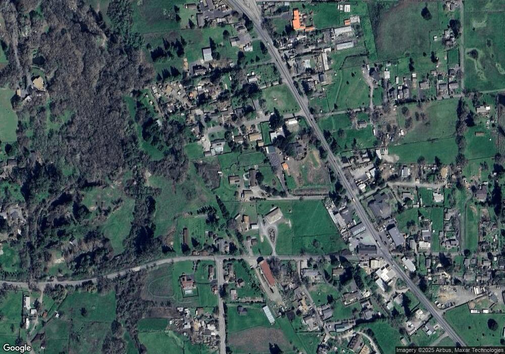
Map
Nearby Homes
- 3422 Gravenstein Hwy S
- 3790 Gravenstein Hwy S
- 5111 Todd Rd
- 3920 Gravenstein Hwy S
- 5152 Mcfarlane Rd
- 2855 Old Gravenstein Hwy
- 5925 Fredricks Rd
- 5301 Hutchinson Rd
- 4290 Gravenstein Hwy S
- 4389 Hessel Ct
- 5190 Volkerts Rd
- 4641 Daywalt Rd
- 1090 Cunningham Rd
- 421 Bloomfield Rd
- 712 Bloomfield Rd
- 5414 Hessel Ave
- 1415 Schaeffer Rd
- 4720 Paulsen Ln
- 4952 Gravenstein Hwy S
- 1853 Cooper Rd
- 5237 Val Lee Ln
- 5300 Lone Pine Rd
- 5231 Val Lee Ln
- 5243 Val Lee Ln
- 3464 Gravenstein Hwy S
- 5380 Lone Pine Rd
- 3424 Gravenstein Hwy S
- 5236 Val Lee Ln
- 5230 Val Lee Ln
- 5400 Lone Pine Rd
- 5249 Val Lee Ln
- 5242 Val Lee Ln
- 5255 Val Lee Ln
- 5391 Lone Pine Rd
- 3376 Gravenstein Hwy S
- 3616 Twig Ave
- 5317 Lone Pine Rd
- 3348 Gravenstein Hwy S
- 3425 Gravenstein Hwy S
- 3380 Gravenstein Hwy S