3521 Burbank Dr Unit 112 Ann Arbor, MI 48105
Estimated Value: $263,000 - $303,470
3
Beds
2
Baths
1,401
Sq Ft
$203/Sq Ft
Est. Value
About This Home
This home is located at 3521 Burbank Dr Unit 112, Ann Arbor, MI 48105 and is currently estimated at $284,618, approximately $203 per square foot. 3521 Burbank Dr Unit 112 is a home located in Washtenaw County with nearby schools including Thurston Elementary School, Clague Middle School, and Huron High School.
Ownership History
Date
Name
Owned For
Owner Type
Purchase Details
Closed on
Feb 3, 2010
Sold by
Gist Manor L and Packer Jeffrey
Bought by
Diaz Angel Romero and Brownell Christine C
Current Estimated Value
Purchase Details
Closed on
Mar 13, 1997
Sold by
Shafie Farouq R
Bought by
Gist Manor
Home Financials for this Owner
Home Financials are based on the most recent Mortgage that was taken out on this home.
Original Mortgage
$96,650
Interest Rate
7.82%
Mortgage Type
FHA
Purchase Details
Closed on
Sep 19, 1995
Sold by
Lee James E
Bought by
Shafie Farouq R and Shafie Rabia
Home Financials for this Owner
Home Financials are based on the most recent Mortgage that was taken out on this home.
Original Mortgage
$63,750
Interest Rate
7.68%
Mortgage Type
New Conventional
Create a Home Valuation Report for This Property
The Home Valuation Report is an in-depth analysis detailing your home's value as well as a comparison with similar homes in the area
Home Values in the Area
Average Home Value in this Area
Purchase History
| Date | Buyer | Sale Price | Title Company |
|---|---|---|---|
| Diaz Angel Romero | $81,000 | Title One Inc | |
| Gist Manor | $98,900 | -- | |
| Shafie Farouq R | $85,000 | -- |
Source: Public Records
Mortgage History
| Date | Status | Borrower | Loan Amount |
|---|---|---|---|
| Previous Owner | Gist Manor | $96,650 | |
| Previous Owner | Shafie Farouq R | $63,750 |
Source: Public Records
Tax History Compared to Growth
Tax History
| Year | Tax Paid | Tax Assessment Tax Assessment Total Assessment is a certain percentage of the fair market value that is determined by local assessors to be the total taxable value of land and additions on the property. | Land | Improvement |
|---|---|---|---|---|
| 2025 | $3,776 | $138,500 | $0 | $0 |
| 2024 | $3,517 | $135,700 | $0 | $0 |
| 2023 | $3,242 | $119,700 | $0 | $0 |
| 2022 | $3,533 | $119,600 | $0 | $0 |
| 2021 | $3,450 | $113,700 | $0 | $0 |
| 2020 | $3,380 | $105,600 | $0 | $0 |
| 2019 | $3,334 | $101,500 | $101,500 | $0 |
| 2018 | $3,172 | $89,000 | $0 | $0 |
| 2017 | $3,085 | $87,800 | $0 | $0 |
| 2016 | $2,977 | $61,701 | $0 | $0 |
| 2015 | $2,835 | $61,517 | $0 | $0 |
| 2014 | $2,835 | $59,596 | $0 | $0 |
| 2013 | -- | $59,596 | $0 | $0 |
Source: Public Records
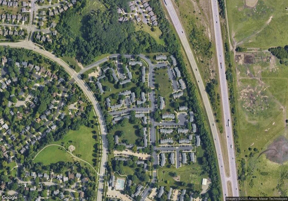
Map
Nearby Homes
- 3531 Burbank Dr
- 3367 Burbank Dr
- 3252 Bolgos Cir
- 3024 Bolgos Cir Unit 303
- 3241 Buckhorn Ct
- 2362 Georgetown Blvd
- 3057 Barclay Way Unit 265
- 3010 Barclay Way Unit 236
- 3039 Barclay Way Unit 256
- 4 Eastbury Ct
- 2782 Maitland Dr
- 2766 Maitland Dr
- 4763 Curtis
- 2182 Yorktown Dr
- 4990 Saddleridge
- 2856 Barclay Way Unit 38
- 2846 Barclay Way
- 2808 Barclay Way Unit 68
- 1 Westbury Ct
- 0000 Nixon Rd
- 3523 Burbank Dr
- 3519 Burbank Dr
- 3519 Burbank Dr Unit 113
- 3525 Burbank Dr
- 3517 Burbank Dr
- 3515 Burbank Dr
- 3527 Burbank Dr Unit 109
- 3509 Burbank Dr Unit 108
- 3507 Burbank Dr
- 3435 Burbank Dr Unit 73
- 3437 Burbank Dr Unit 72
- 3439 Burbank Dr
- 3505 Burbank Dr Unit 106
- 3441 Burbank Dr
- 3512 Burbank Dr Unit 407
- 3433 Burbank Dr
- 3508 Burbank Dr
- 3506 Burbank Dr Unit 404
- 3503 Burbank Dr
- 3504 Burbank Dr Unit 403