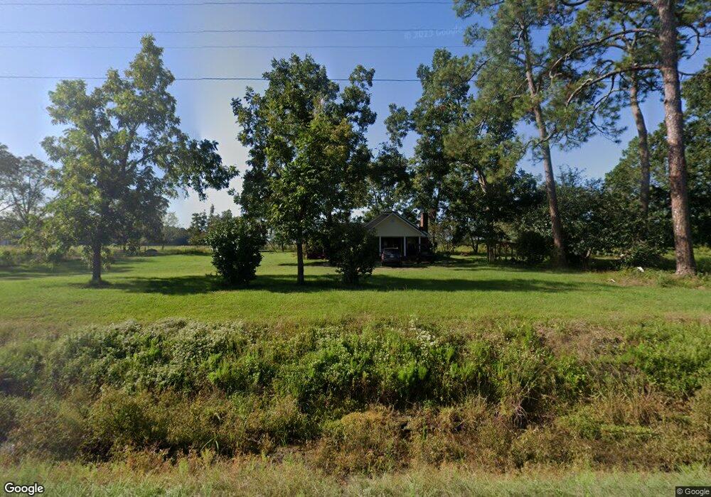
3521 Ga Highway 32 Bristol, GA 31518
Estimated Value: $192,442 - $302,000
--
Bed
--
Bath
2,012
Sq Ft
$123/Sq Ft
Est. Value
About This Home
This home is located at 3521 Ga Highway 32, Bristol, GA 31518 and is currently estimated at $247,861, approximately $123 per square foot. 3521 Ga Highway 32 is a home with nearby schools including Pierce County High School.
Ownership History
Date
Name
Owned For
Owner Type
Purchase Details
Closed on
Jan 25, 2022
Sold by
Burford Dale C
Bought by
Burford Rhett Carl
Current Estimated Value
Purchase Details
Closed on
Apr 28, 2015
Sold by
Davis Harley
Bought by
Burford Dale C and Burford Elaine U
Purchase Details
Closed on
Aug 8, 2013
Sold by
Thornton Tracy
Bought by
Land Leases Llc
Purchase Details
Closed on
Dec 21, 2000
Sold by
Sauls William Thomas and Sauls Jaunette D
Bought by
Thornton Tracy and Lizzie Marie
Purchase Details
Closed on
Dec 27, 1983
Sold by
Collins Norma Jean D
Bought by
Sauls William T and Jaunette Dixi
Purchase Details
Closed on
Aug 31, 1976
Sold by
Mcmurry Norma D
Bought by
Sauls William Thomas Jr Jaunette D
Create a Home Valuation Report for This Property
The Home Valuation Report is an in-depth analysis detailing your home's value as well as a comparison with similar homes in the area
Home Values in the Area
Average Home Value in this Area
Purchase History
| Date | Buyer | Sale Price | Title Company |
|---|---|---|---|
| Burford Rhett Carl | $134,000 | -- | |
| Burford Dale C | $106,500 | -- | |
| Land Leases Llc | $100,000 | -- | |
| Thornton Tracy | $90,000 | -- | |
| Sauls William T | -- | -- | |
| Sauls William Thomas Jr Jaunette D | -- | -- |
Source: Public Records
Tax History Compared to Growth
Tax History
| Year | Tax Paid | Tax Assessment Tax Assessment Total Assessment is a certain percentage of the fair market value that is determined by local assessors to be the total taxable value of land and additions on the property. | Land | Improvement |
|---|---|---|---|---|
| 2025 | $1,099 | $67,065 | $15,758 | $51,307 |
| 2024 | $1,099 | $65,026 | $15,758 | $49,268 |
| 2023 | $1,099 | $63,029 | $15,758 | $47,271 |
| 2022 | $1,103 | $48,875 | $10,265 | $38,610 |
| 2021 | $1,082 | $47,314 | $10,265 | $37,049 |
| 2020 | $1,099 | $45,754 | $10,265 | $35,489 |
| 2019 | $1,106 | $45,754 | $10,265 | $35,489 |
| 2018 | $1,102 | $43,703 | $9,775 | $33,928 |
| 2017 | $1,167 | $42,491 | $9,775 | $32,716 |
Source: Public Records
Map
Nearby Homes
- 2203 N Hwy 121 Hwy
- 0 Ga Hwy 32
- 0 Crump Rd
- 3675 Troy Rd
- TRACT 2 Pine Cone Trail
- TRACT 3 Pine Cone Trail
- TRACT 11 Pine Cone Trail
- 0 Pine Cone Trail
- TRACT 5 Pine Cone Trail
- TRACT 7 Pine Cone Trail
- TRACT 9 Pine Cone Trail
- 0 Metts-Overstreet Rd
- 2115 Mill Creek Rd
- 2114 Mill Creek Rd
- 0 Ward Boyette Rd
- 6005 Chancey Rd
- 3936 Folks Cir
- 4159 Folks Dr
- 5518 W Railroad Ave
- 5525 E Railroad Ave
- 3521 Georgia 32
- 4055 Carter Ln
- 4115 Carnes Rd S
- 2064 Ga Highway 121
- 2019 Ga Highway 121
- 2019 Ga Highway 121
- E Highway 32 E
- 3470 Ga Highway 32
- 000 Hamp Rd
- 0000 Hamp Rd
- 1958 Hwy 121
- 3461 Ga Highway 32
- 3590 Ga Highway 32
- 4146 N Lightsey Ave
- 4141 S Lightsey Ave
- 1978 Stewart Dr
- 4160 N Lightsey Ave
- 2015 Eason Dr
- 1869 Thornton Cir
- 1966 Stewart Dr